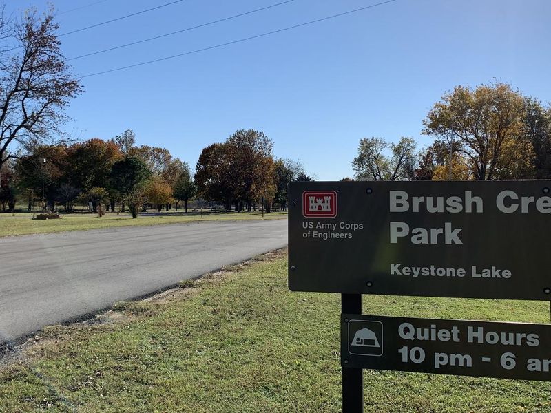
Brush Creek Public Use Area
Open year-round. Reservations available via Recreation.gov. Check-in is 3:00 PM and check-out is 1:00 PM. Gates are locked from 10 PM to 6 AM. Camping limited to 14 consecutive nights per 30-day period.
From Recreation.gov
Beginning April 1, 2026 the check-in time for camping will be 3:00 PM, and check-out time will be 1:00 PM.
About
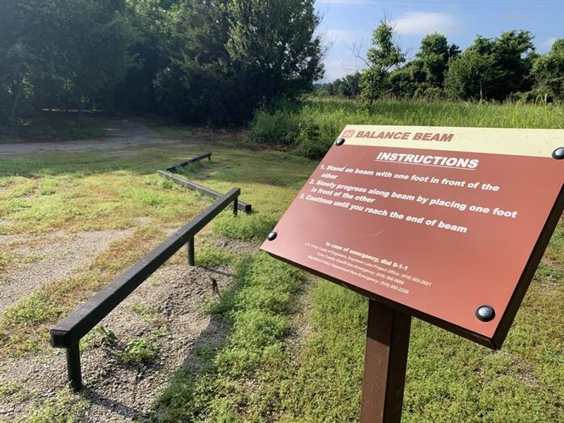
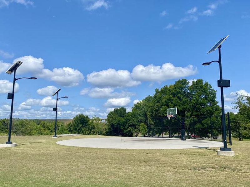
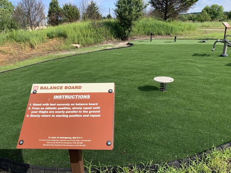
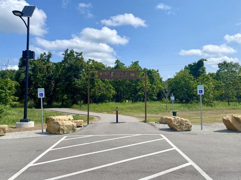
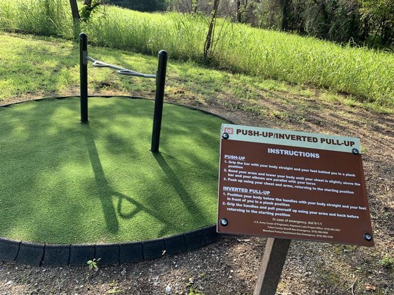
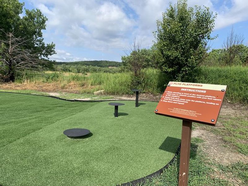
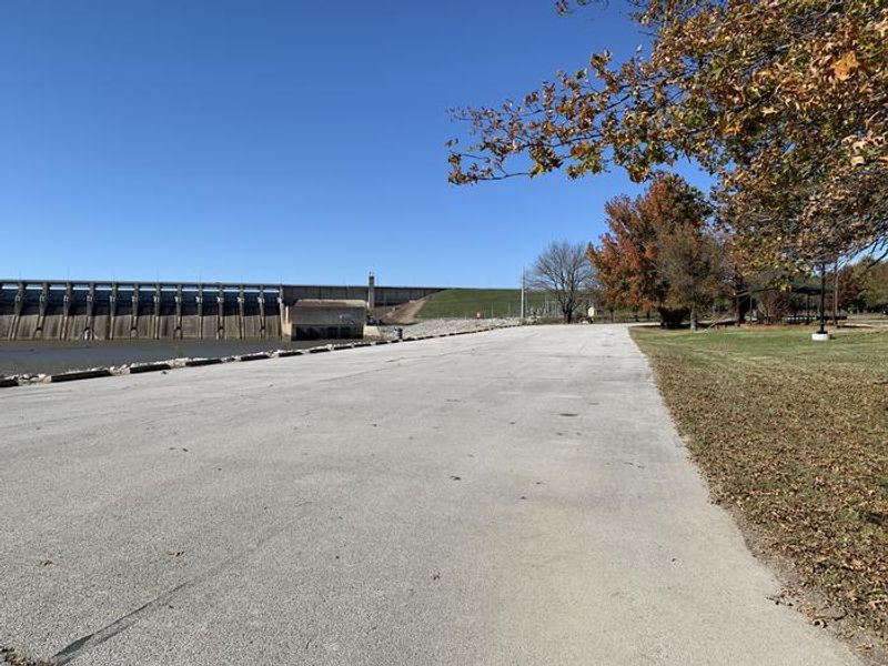
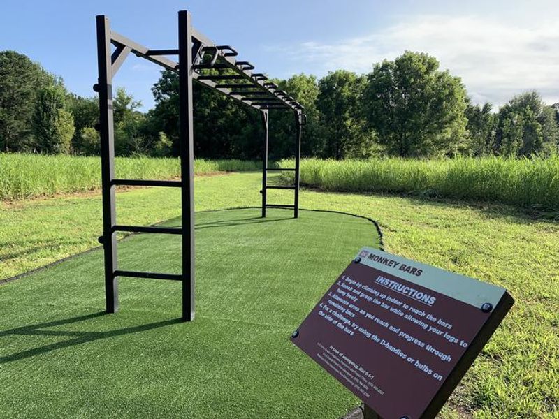
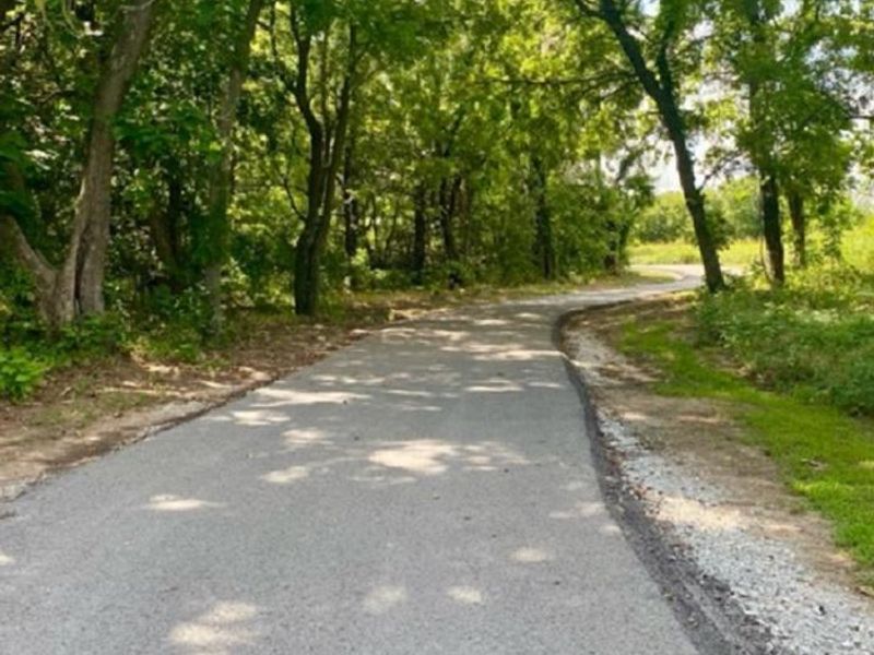
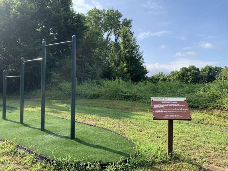
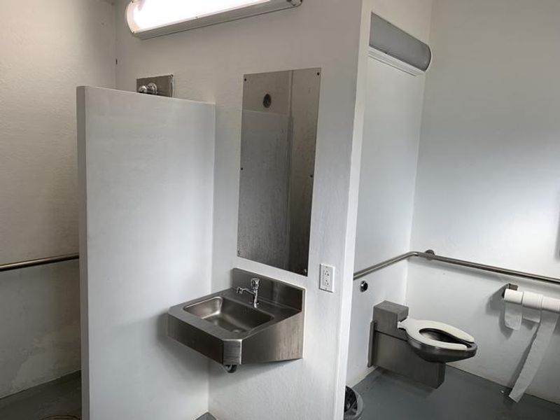
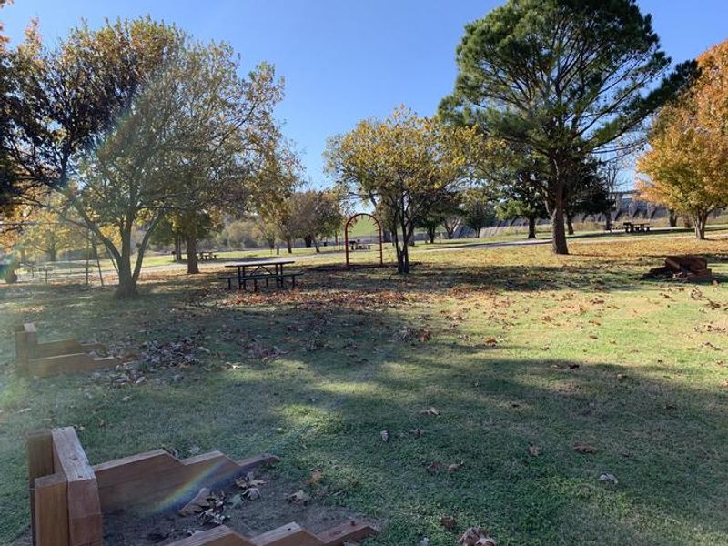
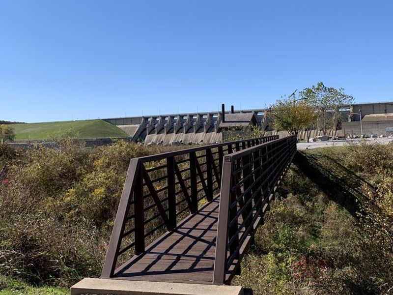
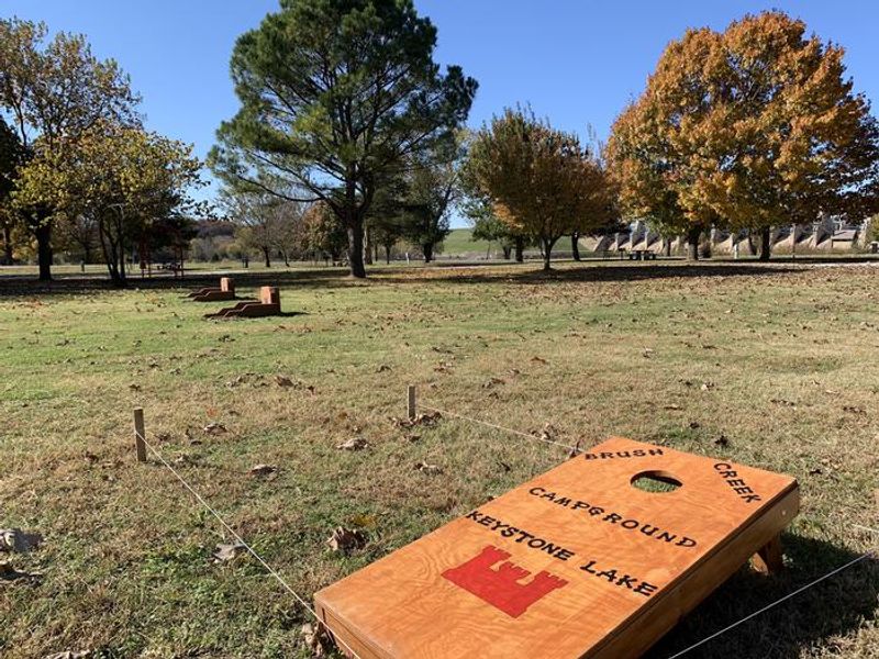
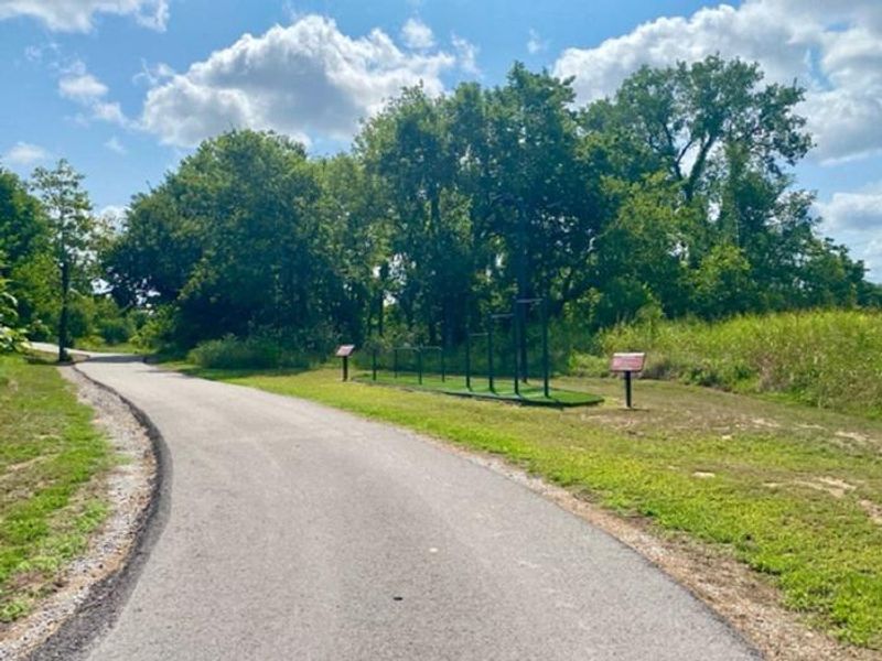
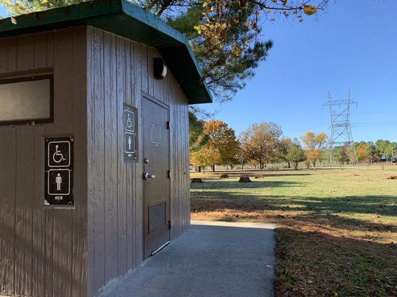
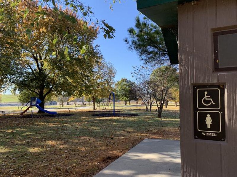
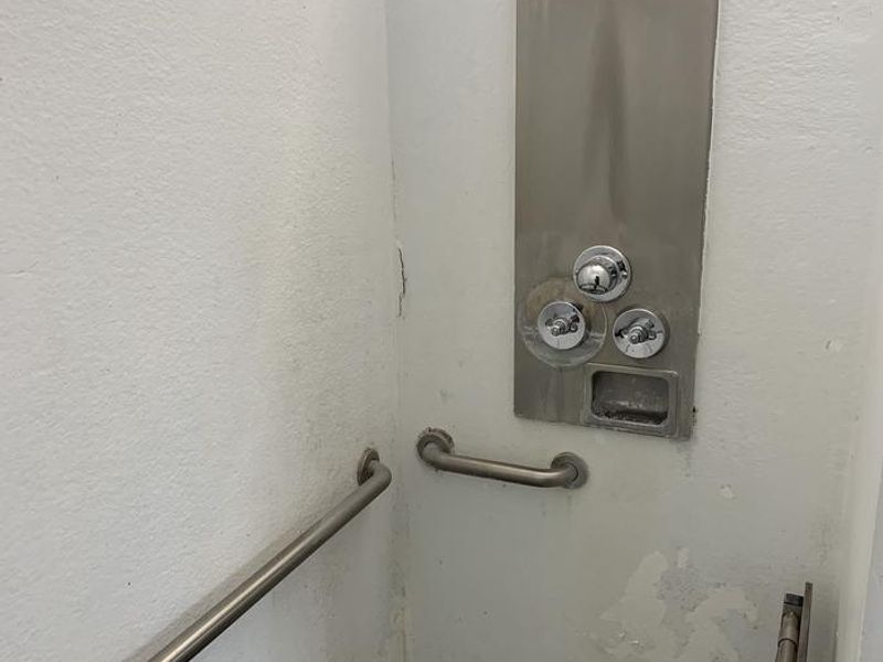
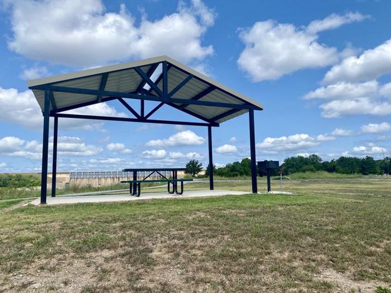
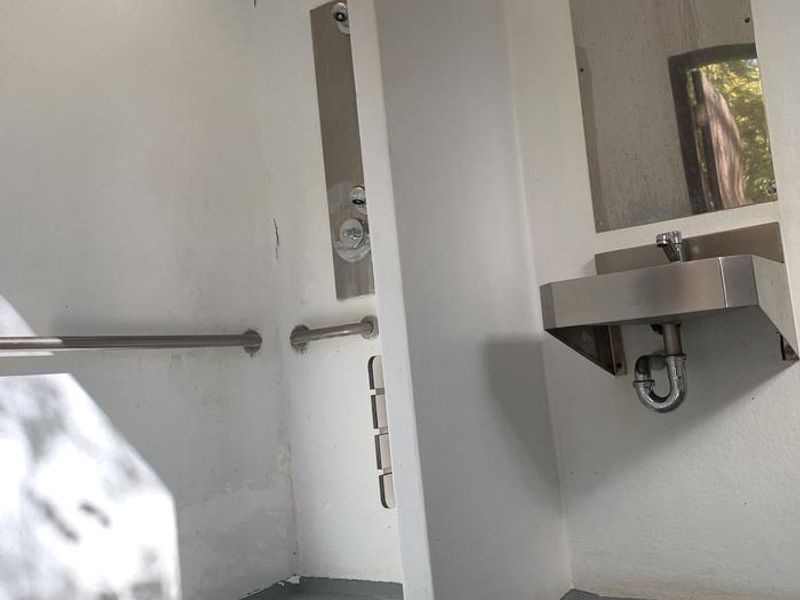
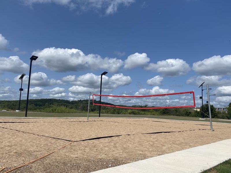
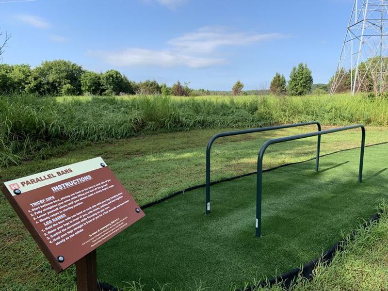
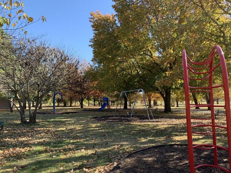
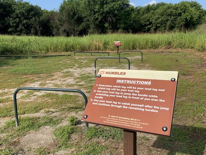
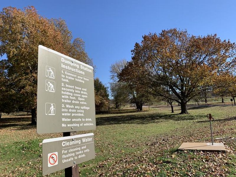
Brush Creek Public Use Area is a U.S. Army Corps of Engineers campground located downstream of Keystone Dam, just 10 minutes from downtown Tulsa. The park sits along the Arkansas River and provides excellent access to tailwater fishing via a pedestrian bridge that connects directly to the fishing berm below the dam. Striped bass, white bass, white crappie, and various catfish species are commonly caught here. The campground has 19 RV sites, all equipped with 50-amp electrical service, water hookups, picnic tables, fire rings, grills, and lantern hooks. Sites 1-14 form an inner circle with full hookups including sewer connections, while sites 15-20 offer electric and water only. A modern restroom and shower facility with hot water is available, along with a dump station. Maximum RV lengths vary by site, ranging from 45 to 70 feet. On-site recreation includes a playground, basketball court, sand volleyball court, horseshoe pits, and cornhole. A mile-long fitness trail with exercise stations winds through the area. Nearby trails include the Two Rivers Trail and Keystone Singletrack Trail. Water releases from the dam are preceded by warning horn signals as a safety measure for those near the water; the campground itself is not in danger.
Directions
From Highway 412, take the Keystone Dam Exit onto Highway 151. Take the first left before crossing the dam. At the stop sign, continue straight and take the second right turn to the park entrance.
Amenities
| Water | Yes |
| Fires Allowed | Yes |
| Toilets | Yes |
| Dump Station | Yes |
| Wifi | — |
| Pets Allowed | Yes |
| Showers | Yes |
| Electric Hookups | Yes |
| Water Hookups | Yes |
| Sewer Hookups | Yes |
| Camp Store | No |
| Price | $25 |
Vehicle
| Max RV Length | 70ft |
| Max Trailer Length | — |
| Big Rig Friendly | Yes |
| Pull Through Sites | No |
Contact
| Phone | +1 (918) 865-2621 |
Cell Service
| AT&T | None |
| Verizon | None |
| T-Mobile | None |
Useful Links
| View on Recreation.gov | |
| Keystone Lake Gateway |
Availability
Photos
Community Posts
No posts yet. Be the first to share your experience!