Bolding Mill Shelters
This is a day-use facility with group picnic shelters, not an overnight campground. Shelters are available for advance reservation through Recreation.gov. On Memorial Day, Independence Day, and Labor Day weekends, shelters are first-come, first-served.
About
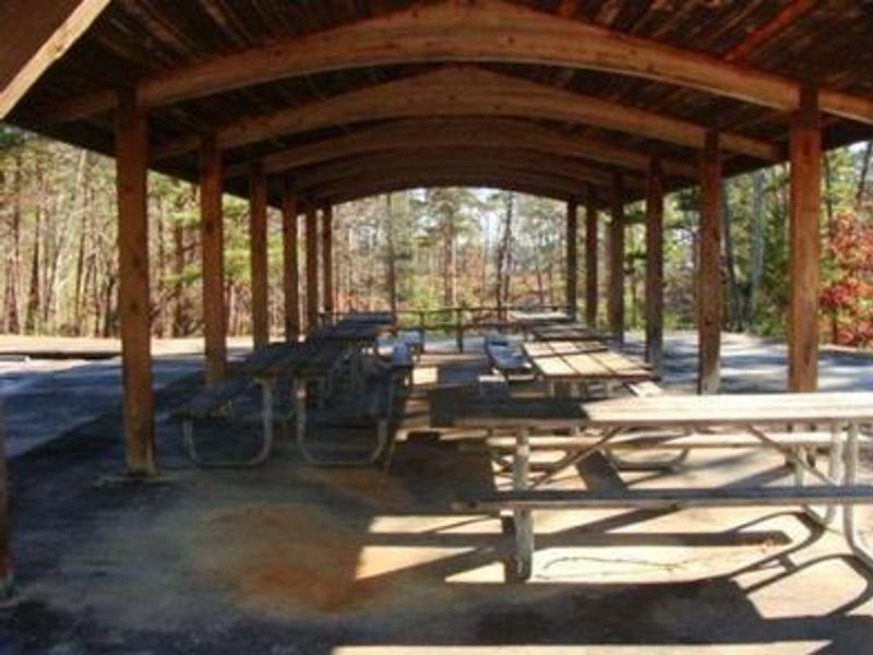
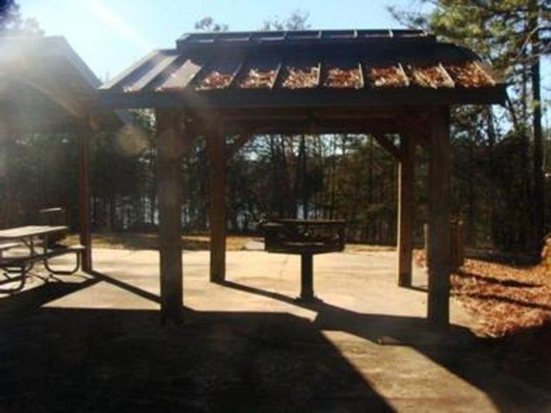
Bolding Mill Shelters is a day-use facility located within Bolding Mill Park on Lake Sidney Lanier, about 30 miles north of Buford Dam in Hall County, Georgia. The facility features two group picnic shelters available for advance reservation through Recreation.gov. This is not an overnight camping area; registered visitors use the shelters for group gatherings and picnics during daytime hours. The park offers a designated swim beach with a gentle concrete slope providing ADA accessibility, restrooms, a boat ramp, and a fishing pier. Visitors can access the Laurel Ridge Hiking Trail, a 3.5-mile loop with views of the lake and Chattahoochee River. Lake Lanier boasts 38,000 surface acres, 690 miles of shoreline, and over 100 small islands set against the forested foothills of the Georgia Blue Ridge Mountains. Alcohol, fireworks, amplified music, and PA systems are prohibited at the shelters. Day-use park fees apply to all visitors and are separate from shelter reservation fees. For overnight camping, visitors should look to the adjacent Bolding Mill Campground, which offers electric and water hookup sites as well as primitive tent sites.
Directions
From Georgia Highway 400, exit for Hwy. 53 east, turn left on Sardis Rd., turn left on Chestatee Rd., go straight at stop sign, road dead ends into park. From Interstate 985, exit for Hwy. 53 west, follow signs for Hwy. 53 west and turn right on Sardis Rd., turn left on Chestatee Rd., go straight at stop sign, road dead ends into park.
Amenities
| Water | — |
| Fires Allowed | No |
| Toilets | Yes |
| Dump Station | No |
| Wifi | — |
| Pets Allowed | — |
| Showers | No |
| Electric Hookups | — |
| Water Hookups | — |
| Sewer Hookups | — |
| Camp Store | No |
| Price | $50 |
Vehicle
| Max RV Length | — |
| Max Trailer Length | — |
| Big Rig Friendly | — |
| Pull Through Sites | No |
Contact
| Phone | +1 (770) 945-9531 |
Cell Service
| AT&T | Yes |
| Verizon | Yes |
| T-Mobile | Yes |
Availability
Photos
Community Posts
No posts yet. Be the first to share your experience!