Blue Springs Gap Cabin
Open mid-May through late November. Flush toilet available until October 31; portable toilet provided November through closure. Check-in at 4pm, check-out at 11am. Two-night minimum required for Friday-Saturday weekend stays.
Flood Watch issued October 10 at 1:30PM EDT until October 11 at 8:00PM EDT by NWS Blacksburg VA
* WHAT...Flooding caused by excessive rainfall continues to be possible. * WHERE...Portions of North Carolina, including the following areas, Alleghany NC, Ashe, Surry, Watauga and Wilkes and southwest Virginia, including the following areas, Carroll, Floyd, Grayson and Patrick. * WHEN...Through Sunday evening. * IMPACTS...Excessive runoff may result in flooding of rivers, creeks, streams, and other low-lying and flood-prone locations. Creeks and streams may rise out of their banks. Low-water crossings may be flooded. Storm drains and ditches may become clogged with debris. Extensive street flooding and flooding of creeks and rivers are possible. * ADDITIONAL DETAILS... - The remnants of Isaias will bring widespread rainfall along the crest of the southern Blue Ridge from Floyd County, Virginia to Watauga county, North Carolina. Widespread rainfall totals of 2-4 inches with locally higher totals in the 5-6 range will be possible, especially for areas like Meadows of Dan, Boone, and Blowing Rock. These higher totals may lead to isolated instances of landslides along slopes that have been modified by humans like embankments or cut slopes. These areas may also see increased rises on local streamflows that may lead to flooding across low-water crossings. - http://www.weather.gov/safety/flood
Wind Advisory issued October 10 at 1:27PM EDT until October 11 at 11:00AM EDT by NWS Blacksburg VA
* WHAT...East winds 15 to 25 mph with gusts up to 55 mph expected. * WHERE...In North Carolina, Ashe and Watauga Counties. In Virginia, Grayson, Smyth, and Tazewell Counties. In West Virginia, Mercer, Summers, and Western Greenbrier Counties. * WHEN...From 5 PM this afternoon to 11 AM EDT Sunday. * IMPACTS...Gusty winds will blow around unsecured objects. Tree limbs could be blown down and a few power outages may result. * ADDITIONAL DETAILS...Strong easterly to southeasterly winds from the remnants of Isaias will move over the region today into Sunday, which may lead to downed trees and power poles and subsequently power outages across higher terrain locations from NW North Carolina to SE West Virginia.
About
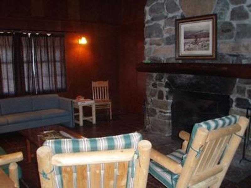
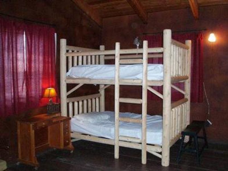
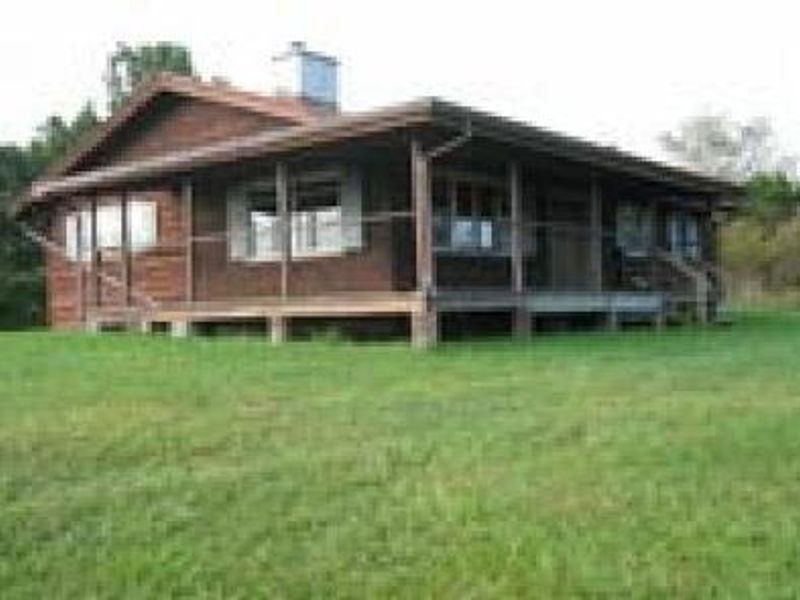
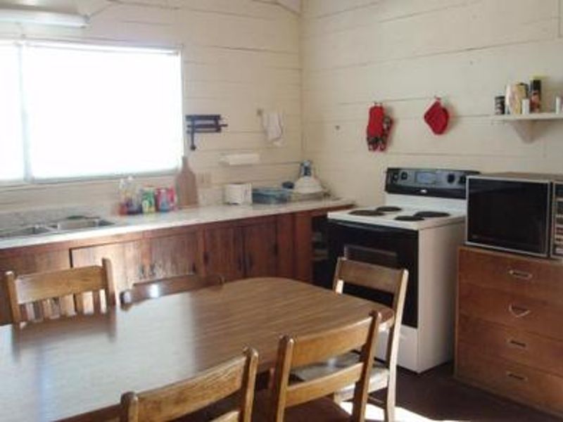
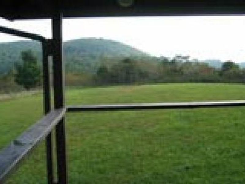
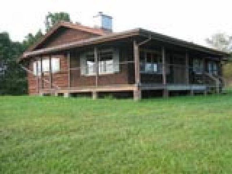
Blue Springs Gap Cabin is perched high on a mountaintop in southwest Virginia's Mount Rogers National Recreation Area, offering sweeping views of the Appalachian Mountains from its wraparound porch. The cabin provides three bedrooms (one queen bed, one full bunk bed, one twin bunk bed), a kitchen, and a living room accommodating up to eight guests. Electricity powers the cabin, and a flush toilet is available through October 31, switching to a portable toilet in late season. The cabin sits in a grassy clearing surrounded by mixed hardwoods and pines, with autumn foliage displays that rank among the region's finest. Hale Lake lies just 2 miles away, providing fishing opportunities and the easy 0.58-mile Hale Lake Trail loop. Spring and fall migrations bring warblers, flycatchers, and waterfowl to the area, while wood ducks breed locally. The Mount Rogers NRA encompasses 200,000 acres including four wilderness areas, the Virginia Creeper Trail, and the highest road in Virginia leading to Whitetop Mountain. The large stone fireplace is inoperable with no alternative heat source or air conditioning. Access via VA 798 is not suitable for low-clearance vehicles. The nearest drinking water source is Comers Rock Campground, 4 miles east.
Directions
From Marion, VA: Take I-81 to exit 45 and proceed south on VA Route 16 for about 10 miles to VA 695 (Slemp Creek Road) at Sugar Grove. Turn left onto VA 695 and go 1 mile, then turn left onto VA 614 (Cedar Springs Road). Drive 4 miles and turn right onto VA 612 (Camp Road) before Cedar Springs. Continue 5 miles and turn right onto VA 798 (gravel, Hale Lake Road). Continue about 3 miles to the top of the mountain and a T intersection. Turn right onto VA 672 (Blue Springs Road). After 0.3 miles, take the first gravel road on the right to the cabin gate. Access via VA 798 is not suitable for low-clearance vehicles.
Nearby Campgrounds
Amenities
| Water | No |
| Fires Allowed | — |
| Toilets | Yes |
| Dump Station | — |
| Wifi | — |
| Pets Allowed | No |
| Showers | — |
| Electric Hookups | — |
| Water Hookups | — |
| Sewer Hookups | — |
| Camp Store | — |
| Price | $45 |
Vehicle
| Max RV Length | — |
| Max Trailer Length | — |
| Big Rig Friendly | No |
| Pull Through Sites | No |
Contact
| sm.fs.mrnra@usda.gov | |
| Phone | +1 (800) 628-7202 |
Cell Service
| AT&T | None |
| Verizon | Yes |
| T-Mobile | None |
Availability
Photos

Community Posts
No posts yet. Be the first to share your experience!