Peltier Bridge Primitive Campground
Open and accepting reservations via Recreation.gov. Reservations required for all sites. Check-in 1:00 p.m., check-out 12:00 p.m. (noon). Camping limited to 14 days between April 1 and October 31, or 30 days per calendar year. Post-2018 Carr Fire hazards remain; falling trees and branches possible.
About
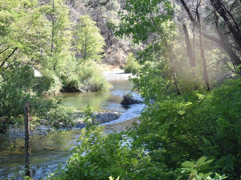
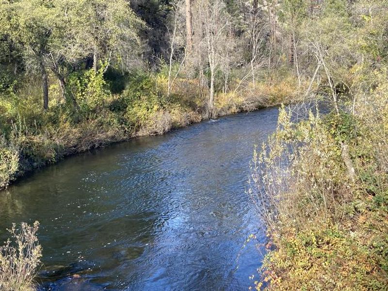
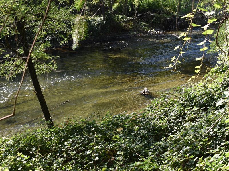
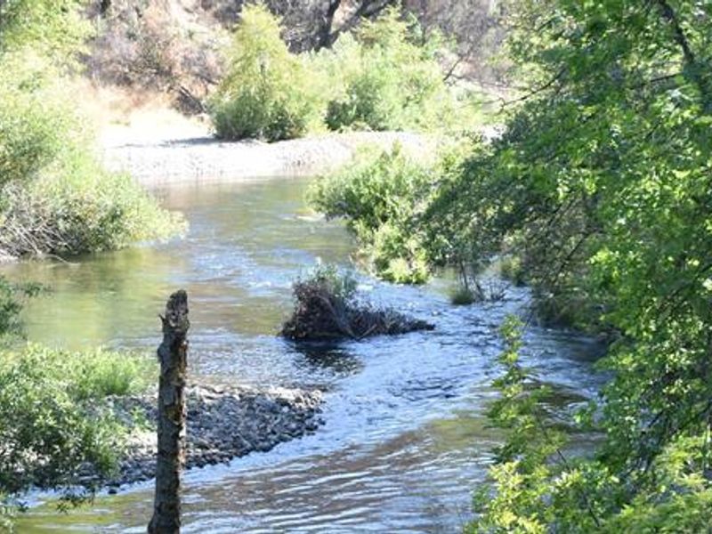
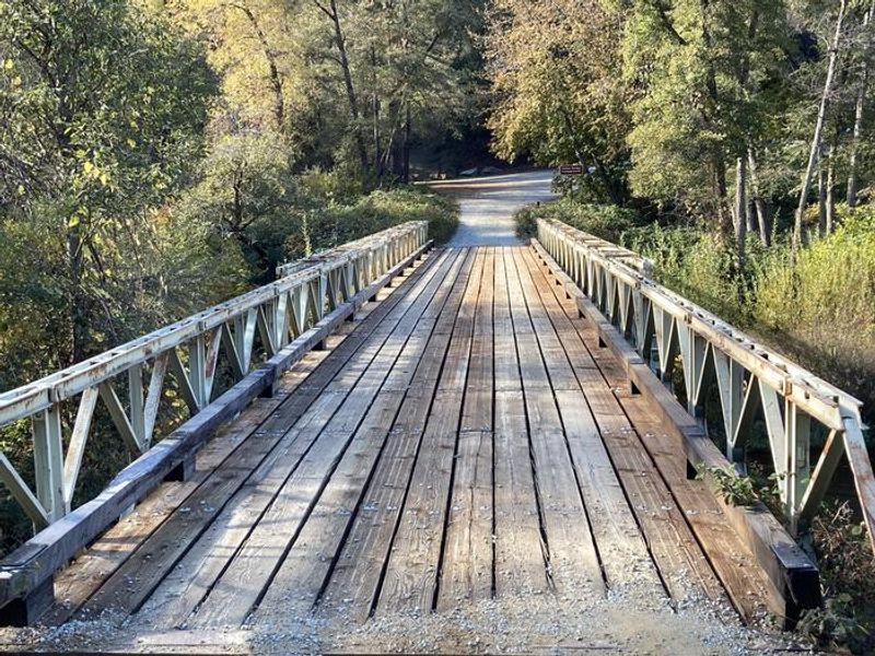
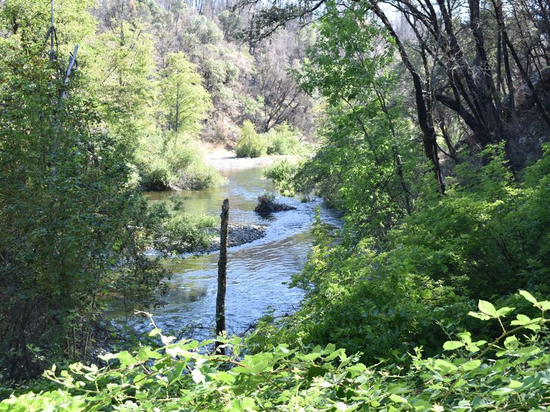
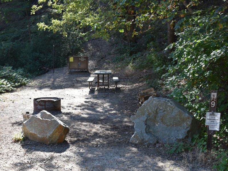
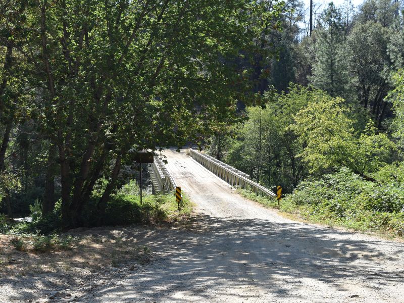
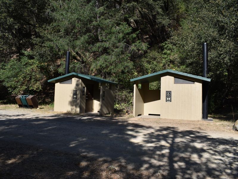
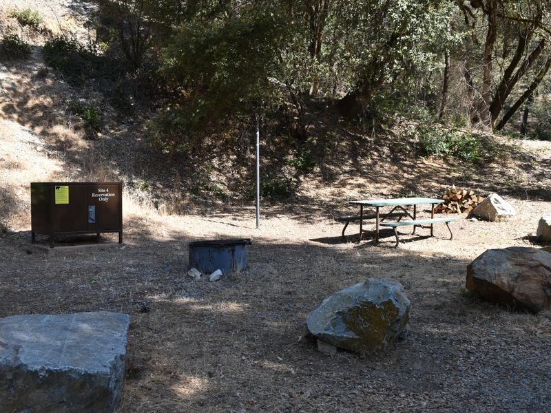
Peltier Bridge Primitive Campground is a secluded tent-only campground located along Clear Creek in the southeast corner of Whiskeytown National Recreation Area, approximately 13.5 miles west of Redding, California. The camp sits beneath a canopy of alders and large canyon live oaks, providing welcome shade during hot summer months. Clear Creek flows past the sites, making it a popular destination for fly fishing enthusiasts. Each of the 9 campsites is equipped with a bear-proof storage locker, picnic table, metal fire pit with swing-arm barbecue grill, and lamp pole. The campground features two shared ADA-accessible vault toilets near the entrance. There is no potable water, electricity, or showers at the campground. The narrow gravel road prohibits trailers, RVs, and any towed vehicles. The campground provides access to numerous hiking and mountain biking trails. Brandy Creek Beach, located 3.5 miles away, offers swimming, paddleboard and kayak rentals, and a seasonal store from Memorial Day through Labor Day. The 3,200-acre Whiskeytown Lake provides opportunities for swimming, kayaking, sailing, and water skiing.
Directions
From Redding, CA, drive 10 miles west on Highway 299. Turn left on Kennedy Memorial Drive and follow it for 1.6 miles to Paige Bar Road. Turn left onto Paige Bar Road at the dam and drive 1.2 miles to Peltier Valley Road. Turn right and follow Peltier Valley Road 0.7 miles to the campground.
Nearby Campgrounds
Amenities
| Water | No |
| Fires Allowed | Yes |
| Toilets | Yes |
| Dump Station | No |
| Wifi | No |
| Pets Allowed | Yes |
| Showers | No |
| Electric Hookups | — |
| Water Hookups | — |
| Sewer Hookups | — |
| Camp Store | No |
| Price | $20 |
Vehicle
| Max RV Length | — |
| Max Trailer Length | — |
| Big Rig Friendly | No |
| Pull Through Sites | No |
Contact
| michelle_dulisse@nps.gov | |
| Phone | +1 (530) 242-3412 |
Cell Service
| AT&T | None |
| Verizon | Yes |
| T-Mobile | None |
Availability
Photos
Community Posts
No posts yet. Be the first to share your experience!