Campalytics™ Beta
Summary
Bird Creek Recreation Area is a scenic area located 25 miles from Ely and sits at 8,200 feet elevation. It is a popular area for outdoor activities such as hiking, mountain biking and off-road vehicle riding. The campground has 9 sites with picnic and serving tables, campfire rings and grills, as well as vault toilets and drinking water seasonally. There is a nearby state park with interesting stone ovens and an interpretive trail, as well as a museum and train rides in Ely.
Overview
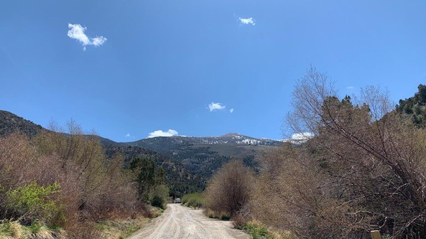
Bird Creek Recreation Area is located in the Duck Creek Basin, high on the Schell Creek Range. It sits at an elevation of 8,200 feet, approximately 25 miles from the small city of Ely. Hiking, mountain biking and off-road vehicle riding are popular activities enjoyed by visitors to the area.
Recreation
The Ranger Trail can be accessed from this campground. The Ranger Trail is a designated OHV trail that also accommodates hiking and mountain biking use as well. The 30-mile Success Loop Scenic Drive is also in the area, with views of high desert and mountain terrain.
Facilities
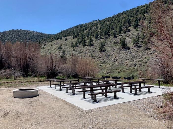
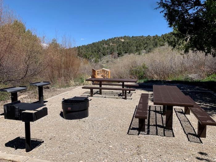
The campground has nine sites. Site A is a day-use group stie, site 5 is a mult-family site, sites 1, 3, 4, 6, and 7 are single sites, sites 8 and 9 are double sites requiring a short walk from the parking area, on one to two bridges over Bird Creek. All sites have picnic and serving tables, campfire rings and grills.
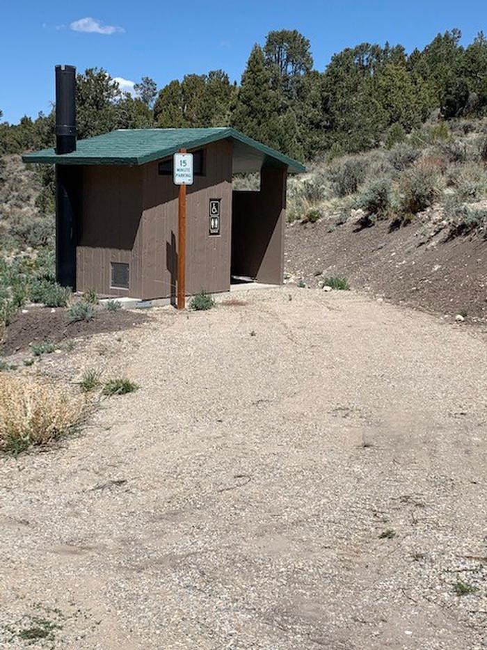
Vault toilets and drinking water are provided seasonally. This is a "pack it in, pack it out" facility.
Natural Features
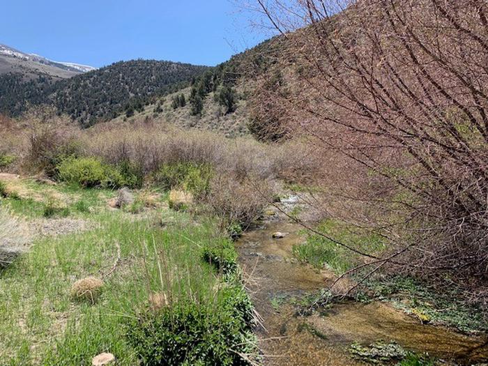
Bird Creek flows perennially through the campground. A mixed forest of juniper, pinyon pine and alder trees covers the area, but provides only limited shade.
Nearby Attractions
Ward Charcoal Ovens State Park is a few miles southeast of Ely. Interesting historic stone ovens and an interpretive trail are available there. The Northern Nevada Railway in Ely has a museum and offers train rides.Charges & Cancellations
Bird Creek Camp site is close for the season due to renovations. Will open up in the 2020 Season.
Photos
Campground Matrix
Set alerts at more campgrounds to increase your odds of getting a place to stay! Below is a list of the closest campgrounds supported on Campflare. Or, view all campgrounds in Humboldt-Toiyabe National Forest Headquarters.
| Nearby Campgrounds | Distance | Notification Rate |
|
Timber Creek
Humboldt-Toiyabe National Forest Headquarters
|
4.6mi | 65% |
|
Ward Mtn. (Murray Summit)
Humboldt-Toiyabe National Forest Headquarters
|
24.2mi | 77% |
|
Wheeler Peak
Great Basin National Park
|
36.4mi | 66% |
|
Upper Lehman
Great Basin National Park
|
37.9mi | 75% |
|
Lower Lehman
Great Basin National Park
|
38.0mi | 73% |
|
Grey Cliffs
Great Basin National Park
|
40.1mi | 70% |