
Sparrowfoot
Closed — Closed for the season. Typically operates from April through October. Reservations available through Recreation.gov.
Flood Watch issued April 1 at 10:55AM CDT until April 2 at 1:00PM CDT by NWS Kansas City/Pleasant Hill MO
* WHAT...Flooding caused by excessive rainfall is possible. * WHERE...Portions of Kansas, including the following areas, Johnson KS, Leavenworth, Linn KS, Miami and Wyandotte and Missouri, including the following areas, Adair, Bates, Caldwell, Carroll, Cass, Chariton, Clay, Clinton, Cooper, Henry, Howard, Jackson, Johnson MO, Lafayette, Linn MO, Livingston, Macon, Pettis, Platte, Randolph, Ray and Saline. * WHEN...From 7 PM CDT this evening through Thursday afternoon. * IMPACTS...Excessive runoff may result in flooding of rivers, creeks, streams, and other low-lying and flood-prone locations. * ADDITIONAL DETAILS... - http://www.weather.gov/safety/flood
Flood Warning issued April 1 at 10:06AM CDT until April 4 at 4:14PM CDT by NWS Kansas City/Pleasant Hill MO
...The National Weather Service in Pleasant Hill MO has issued a Flood Warning for the following rivers in Missouri... Big Creek at Blairstown affecting Johnson, Cass and Henry Counties. Blackwater River at Valley City affecting Johnson and Pettis Counties. Lamine River near Otterville affecting Cooper County. Petite Saline Creek near Boonville affecting Cooper County. .Thunderstorms producing moderate to heavy rainfall are expected to overspread the region tonight. The forecast rainfall amounts for the next 24 hours are incorporated into these river forecasts. * WHAT...Minor flooding is forecast. * WHERE...Big Creek at Blairstown. * WHEN...From late tonight to Saturday afternoon. * IMPACTS...At 20.0 feet, The west bank of the creek begins to flood. At 23.0 feet, Flooding occurs at the west approach to the N Highway bridge located 0.2 miles west of Blairstown. Flooding also occurs across B Highway near Big Creek which is several miles northwest of Blairstown. * ADDITIONAL DETAILS... - At 9:00 AM CDT Wednesday the stage was 10.4 feet. - Forecast...The river is expected to rise above flood stage just after midnight tonight to a crest of 22.7 feet early tomorrow afternoon. It will then fall below flood stage Friday afternoon. - Flood stage is 20.0 feet. - http://www.weather.gov/safety/flood
From Recreation.gov
Campers, after 14 days camping on one campsite, must vacate the campground for a minimum of 24 hours. This includes all belongings. Campers must have a working mode of transportation available.
From Recreation.gov
**Even though camping is by reservation only, all campers are required to check in at the park booth to pick up vehicle hang tags. Booth hours are posted, so please check in as soon as possible after arrival.**
About
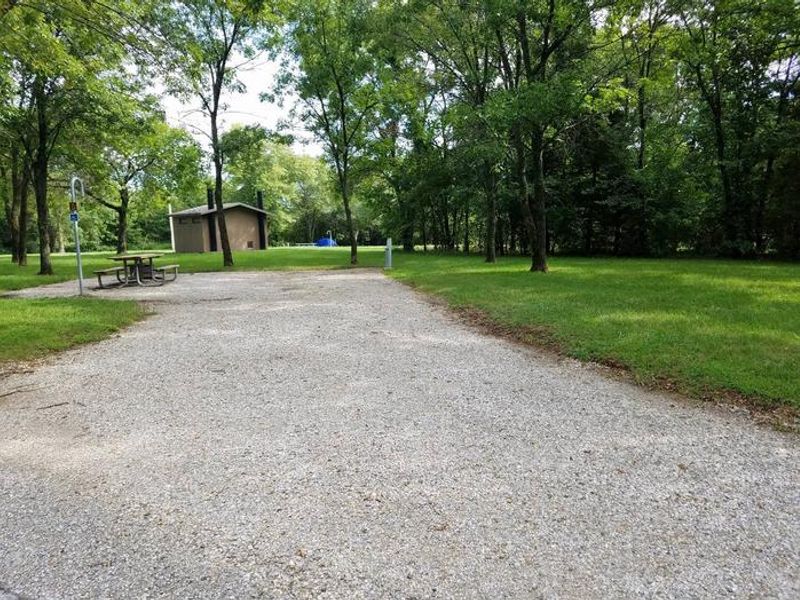
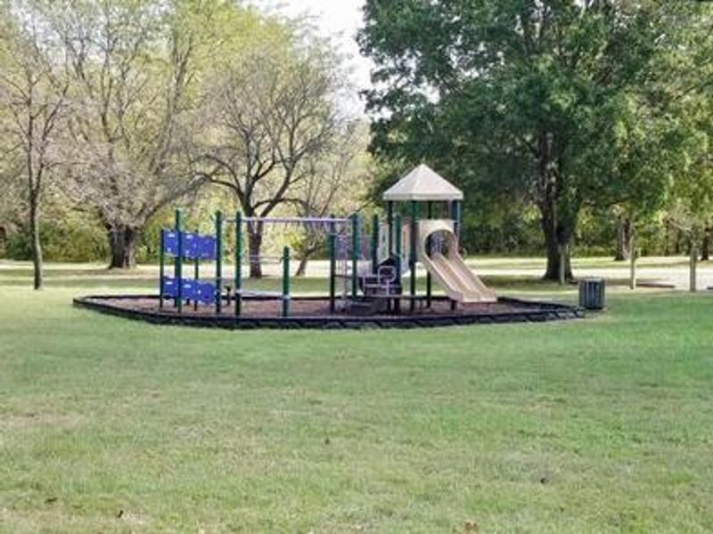
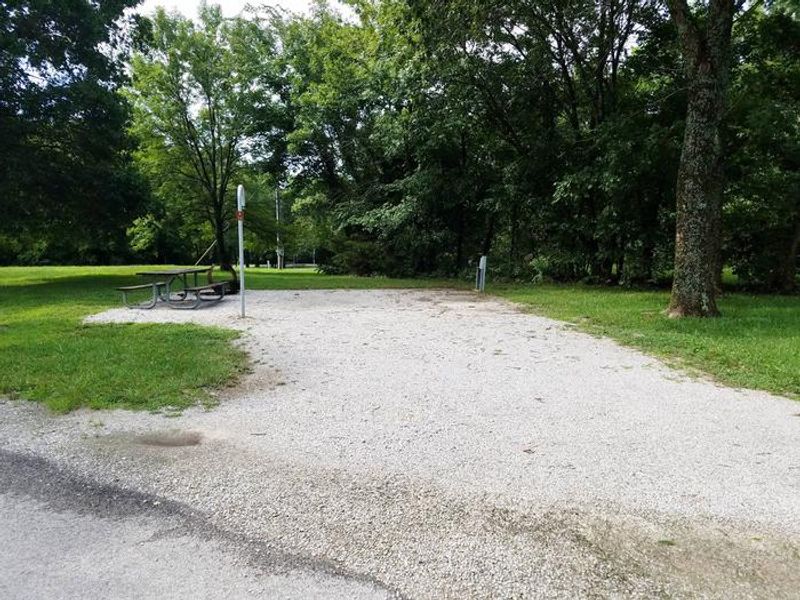
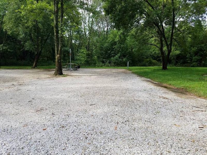
Sparrowfoot Campground is situated on the Grand River Arm of Harry S. Truman Lake in the scenic rolling hills of western Missouri. The campground features 83 campsites, with 56 sites equipped with 50-amp electric and water hookups and 27 sites with 30-amp service. Amenities include flush and pit toilets, hot showers, drinking water, laundry facilities, a playground, dump station, and boat ramp. Two day-use group picnic shelters make this an ideal location for family gatherings and large parties. The area is characterized by a mosaic of hardwood forests and grasslands, with rocky bluffs extending into the lake. Wildlife viewing opportunities abound, including whitetail deer, turkey, hawks, ospreys, eagles, and numerous water birds. The lake is renowned for its fishing, with abundant populations of crappie, bass, walleye, paddlefish, and blue and channel catfish. Approximately 8,800 acres of standing timber were intentionally left in the lake to provide quality aquatic habitat. Nearby attractions include Katy Trail State Park, the nation's longest rails-to-trails project, which stretches from Clinton to Machens and offers biking and hiking opportunities. Reservations are handled exclusively through Recreation.gov and require credit or debit card payment. All campers must check in at the park booth to pick up vehicle hang tags upon arrival.
Directions
From Highway 13, travel about a mile east on SE 450 Road and follow signs into the park.
Nearby Campgrounds
Location
Amenities
| Water | Yes |
| Fires Allowed | Yes |
| Toilets | Yes |
| Dump Station | Yes |
| Wifi | No |
| Pets Allowed | Yes |
| Showers | Yes |
| Electric Hookups | Yes |
| Water Hookups | Yes |
| Sewer Hookups | No |
| Camp Store | No |
| Price | $25 - $30 |
Vehicle
| Max RV Length | 91ft |
| Max Trailer Length | 91ft |
| Big Rig Friendly | Yes |
| Pull Through Sites | No |
Contact
| Phone | +1 (660) 885-7546 |
Cell Service
| AT&T | Yes |
| Verizon | Yes |
| T-Mobile | Yes |
Availability
Photos
Community Posts
No posts yet. Be the first to share your experience!