Indian Creek
The campground is currently open and accepting reservations via Recreation.gov. Hike-in tent sites are available mid-May through mid-September. Firewood restrictions are in effect to prevent the spread of invasive insects.
Extreme Heat Warning issued July 1 at 1:41PM CDT until July 3 at 10:00PM CDT by NWS St Louis MO
* WHAT...Dangerously hot conditions with heat index values up to 107. * WHERE...Portions of south central, southwest, and west central Illinois and central, east central, northeast, and southeast Missouri. * WHEN...Until 10 PM CDT Friday. * IMPACTS...Heat related illnesses increase significantly during extreme heat and high humidity events.
About
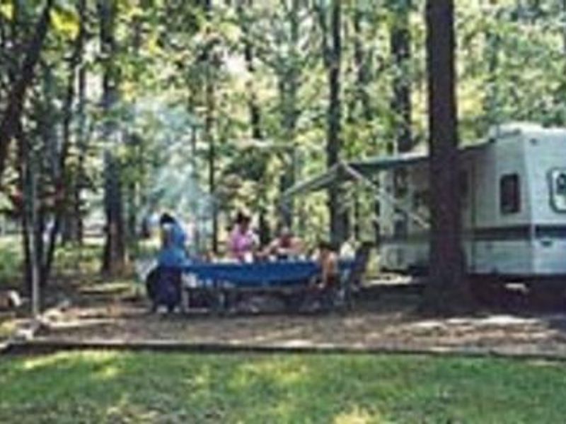
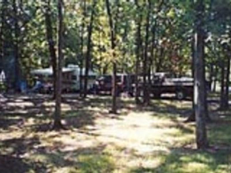
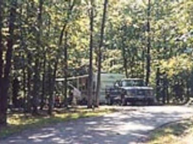
Indian Creek Campground occupies the northern shore of Mark Twain Lake, a US Army Corps of Engineers reservoir on the Salt River in northeast Missouri. As the largest campground on the lake, it provides 215 standard campsites, each with 20/30/50-amp electric service, paved driveways, and space for RVs up to 71 feet. An additional 20 primitive hike-in tent sites operate mid-May through mid-September, and group camping is available with a shelter accommodating up to 250 people. Facilities include a shower house, restrooms, multiple playgrounds, a beach area for swimming, and a west boat ramp open year-round. A fish cleaning station serves anglers pursuing the lake's bass population. Firewood restrictions are in effect to prevent the spread of invasive insects and diseases. The lake is named for Samuel Clemens (Mark Twain), born just south of here in Florida, Missouri. Nearby attractions include the Mark Twain Birthplace State Historic Site and the David C. Berti Shooting Range below Clarence Cannon Dam.
Directions
From Monroe City: Travel 6 miles southwest on Highway 24, then south on Route HH for 2 miles. Continue east on Monroe County Road 581 for 3 miles. From Hannibal: Travel west on Highway 36 for 20 miles, then southwest on Highway 24 for 6 miles. Continue south on Route HH for 2 miles, then east on Monroe CR 581 for 3 miles.
Location
Amenities
| Water | — |
| Fires Allowed | Yes |
| Toilets | Yes |
| Dump Station | — |
| Wifi | — |
| Pets Allowed | Yes |
| Showers | Yes |
| Electric Hookups | Yes |
| Water Hookups | No |
| Sewer Hookups | No |
| Camp Store | — |
| Price | $10 - $125 |
Vehicle
| Max RV Length | 120ft |
| Max Trailer Length | 120ft |
| Big Rig Friendly | Yes |
| Pull Through Sites | No |
Contact
| marktwaininfo@usace.army.mil | |
| Phone | +1 (573) 735-4097 |
Cell Service
| AT&T | None |
| Verizon | Yes |
| T-Mobile | None |
Availability
Photos
Community Posts
No posts yet. Be the first to share your experience!