Ohanapecosh Group Campground
Closed — Closed for rehabilitation project through spring and early summer 2026. The campground will reopen as soon after project completion as possible, but no exact opening date has been announced. Information about securing campsites for summer 2026 will be posted to the Mount Rainier National Park website.
From Recreation.gov
We now expect the Ohanapecosh Campground rehabilitation project to continue into the spring and early summer of 2026. We will reopen the campground as soon after the completion of the project as possible, but we cannot predict an exact opening date. Information on how to secure a campsite for summer 2026, will be posted to the Mount Rainier National Park website at [Campgrounds - Mount Rainier National Park (U.S. National Park Service) ][1]prior to the 2026 camping season*.* [1]: https://www.nps.gov/mora/planyourvisit/campgrounds.htm
From Recreation.gov
The dump station at the Ohanapecosh Campground is closed. The nearest dump station is located at the Maple Grove Resort 28 miles west on Hwy 12.
Timed Entry Reservations required on weekends/holidays for the Sunrise Corridor ONLY in 2025.
A timed entry reservation is required only for the Sunrise Corridor in the northeast corner of the park from 7 am to 5 pm on weekends & holidays from Sept 1 through end of the season (early- to mid-October).
SR 123 is closed to all through traffic from Stevens Canyon Rd to Cayuse Pass in September 2025
Due to construction, SR 123 will be closed Sept 2 - 30 to all vehicles, pedestrians, & bicyclists from Stevens Canyon Road to Cayuse Pass / SR 410. Stevens Canyon Entrance remains open. Expect detours of 3-4 hours.
Trail Closures: Shriner Peak Trail and Naches Peak Trail
Access is prohibited to Naches Peak Trail as well as trailheads on SR 123 between Cayuse Pass and Stevens Canyon Road to protect public health and safety due to the vicinity of the Wildcat Fire burning outside of the park to the east.
Westside Road temporarily closed due to debris flow activity.
Westside Road is temporarily closed until further notice due to recent thunderstorm events that caused loose sediment and large rocks from Dry Creek to be deposited on the road.
SR 165 Carbon River/Fairfax Bridge is closed: no access to Carbon River or Mowich Lake.
There is NO public access to Carbon River & Mowich Lake from SR 165. The bridge is closed to pedestrians, bicycles and vehicles and there is no alternate route.
Expect delays & limited parking due to construction between Nisqually and Stevens Canyon Entrances.
Pavement preservation work will impact all roads, pullouts, and parking areas from Nisqually Entrance to Stevens Canyon Entrance, including Longmire and Paradise. Expect limited parking availability and up to 30-min delays from 7 am - 7 pm, Mon - Fri.
Fire ban in effect June 10 until further notice.
All campfires and the ignition of wood, briquettes, or any fuel in fire pits, fire pans, and barbeque grills is prohibited. This ban is in place to reduce the risk of human-caused wildland fire.
Expect long lines at entrances on weekends.
Lengthy delays are likely at the southwest park entrance on SR706 on weekends. Check Google Maps for backup (represented by the orange/red line) at link below. Please do not block driveways or roads while in line outside the park.
Ohanapecosh Campground area closed for construction in 2025.
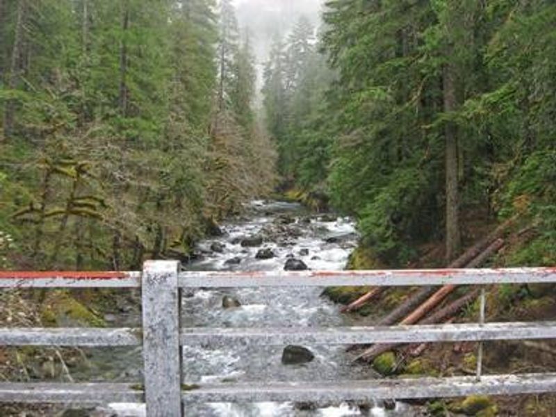
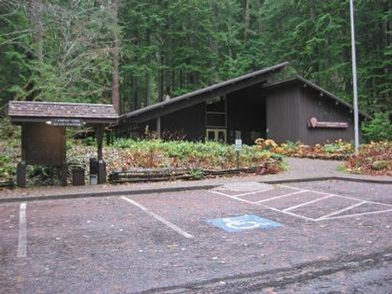
The entire Ohanapecosh Campground area is CLOSED for the duration of the construction project, including all campsites, visitor center, restrooms, picnic area, & Ohanapecosh river access.
Sunrise Service Road Closure
Effective July 14, 2025 until further notice, the eastern portion of the Sunrise Service Road (Sunrise area), access points at Wonderland Trail, Sunrise Parking Lot and Sunrise Picnic Area. Sunrise Road and Sunrise parking area both remain open.
From Recreation.gov
We now expect the Ohanapecosh Campground rehabilitation project to continue into the spring and early summer of 2026. We will reopen the campground as soon after the completion of the project as possible, but we cannot predict an exact opening date. Information on how to secure a campsite for summer 2026, will be posted to the Mount Rainier National Park website at [Campgrounds - Mount Rainier National Park (U.S. National Park Service) ][1]prior to the 2026 camping season*.* [1]: https://www.nps.gov/mora/planyourvisit/campgrounds.htm
About
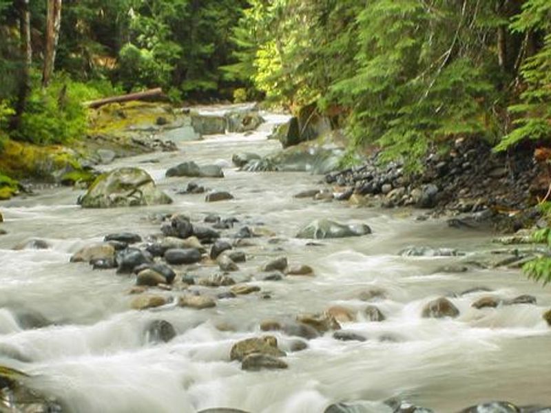
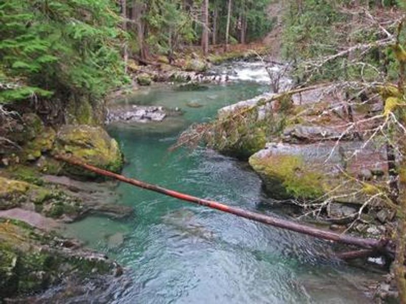
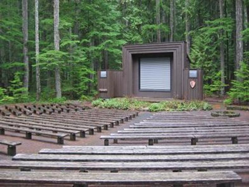
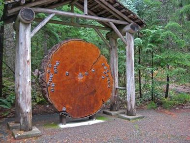
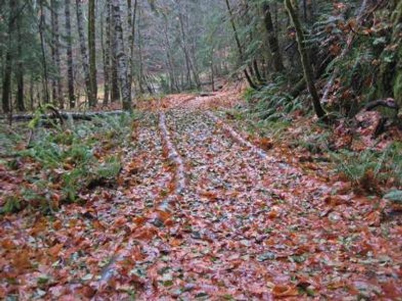
Ohanapecosh Group Campground sits in the southeast corner of Mount Rainier National Park along State Route 123, surrounded by ancient Douglas fir and evergreen forests. At 1,914 feet elevation, the campground is named after a Taidnapam Indian word meaning "standing on the edge" of the Ohanapecosh River, which flows through the area with cold, clear water draining from higher elevations. The river banks are lined with mossy boulders and thick old-growth forest, creating a classic Pacific Northwest atmosphere. The campground offers two tent-only group sites, each accommodating up to 25 people. While there is no direct view of Mount Rainier from the campground, the 14,411-foot glacier-clad volcano dominates the skyline in nearby areas of the park. The location provides convenient access to both the Paradise and Sunrise areas of the park, making it an ideal base for exploring multiple regions. Numerous hiking trails originate near the facility, including trails to Silver Falls waterfall. The famous Grove of the Patriarchs trail remains closed to public access until the suspension bridge can be replaced, with construction scheduled to begin in summer 2027. The Ohanapecosh Visitor Center is located nearby when open. Summer weather is typically dry, cool and sunny with daytime temperatures ranging from 60 to 80 degrees, though conditions can be variable. Bears and other wildlife inhabit the area, requiring proper food storage practices.
Directions
Located on State Route 123, four miles north of State Route 12 in the southeast section of Mount Rainier National Park.
Nearby Campgrounds
Amenities
| Water | Yes |
| Fires Allowed | Yes |
| Toilets | Yes |
| Dump Station | No |
| Wifi | No |
| Pets Allowed | Yes |
| Showers | No |
| Electric Hookups | No |
| Water Hookups | No |
| Sewer Hookups | No |
| Camp Store | No |
| Price | $60 |
Vehicle
| Max RV Length | — |
| Max Trailer Length | — |
| Big Rig Friendly | No |
| Pull Through Sites | No |
Contact
| rene_ellis@nps.gov | |
| Phone | +1 (360) 569-2211 |
Cell Service
| AT&T | None |
| Verizon | None |
| T-Mobile | None |
Availability
Photos
Community Posts
No posts yet. Be the first to share your experience!