Ohanapecosh Group Campground
Closed for the entire 2026 season due to a major rehabilitation project that will upgrade the campground's 185 campsites, nine bathrooms, wastewater collection system, electrical and water systems, and accessibility features. The campground is anticipated to reopen for the 2027 camping season.
Fire Weather Watch issued July 21 at 1:55PM PDT until July 23 at 2:00PM PDT by NWS Seattle WA
The National Weather Service in Seattle has issued a Fire Weather Watch for lightning and gusty outflow winds, which is in effect from Wednesday afternoon through Thursday afternoon. * AFFECTED AREA...Fire Weather Zone 655 Black Hills and Southwest Interior Lowlands and Fire Weather Zone 659 West Slopes of the Central Cascades Generally above 1500 Feet. * LIGHTNING...Isolated to scattered thunderstorm coverage is possible across the southern Cascade Mountains and portions of southwest Washington. Thunderstorms will develop late Wednesday night and move from south to north across the area. * OUTFLOW WINDS...Any storms that develop will be capable of gusty and erratic outflow winds between 25 and 30 miles per hour. Outflow winds can occur ahead of and behind storms and cause erratic wind directions. * IMPACTS...Scattered lightning in dry fuels can cause multiple fire starts. Thunderstorms can also bring sudden sharp wind shifts on existing fires, causing rapid changes in a fire's rate of spread and direction of spread. Thunderstorm outflow winds can be a threat for several hours following the start of a new lightning-caused fire. If a fire were to begin, air quality may diminish in the surrounding area.
From Recreation.gov
We now expect the Ohanapecosh Campground rehabilitation project to continue into the spring and early summer of 2026. We will reopen the campground as soon after the completion of the project as possible, but we cannot predict an exact opening date. Information on how to secure a campsite for summer 2026, will be posted to the Mount Rainier National Park website at [Campgrounds - Mount Rainier National Park (U.S. National Park Service) ][1]prior to the 2026 camping season*.* [1]: https://www.nps.gov/mora/planyourvisit/campgrounds.htm
From Recreation.gov
**Ohanapecosh Campground Closure in Summer 2026. **The **Ohanapecosh Campground rehabilitation project** will provide significant upgrades to the popular campground located in the southeast corner of the park. This effort will rehabilitate the campground’s 185 campsites and nine bathrooms, replace the aging wastewater collection system, upgrade electrical and water systems, and support improvements to campground accessibility. The Ohanapecosh Campground is anticipated to reopen for the 2027 camping season. More information is available on the [**Park Construction FAQs**][1] page [1]: https://www.nps.gov/mora/planyourvisit/park-construction-faqs.htm
About
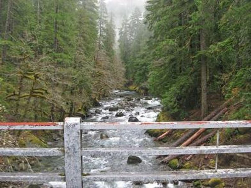
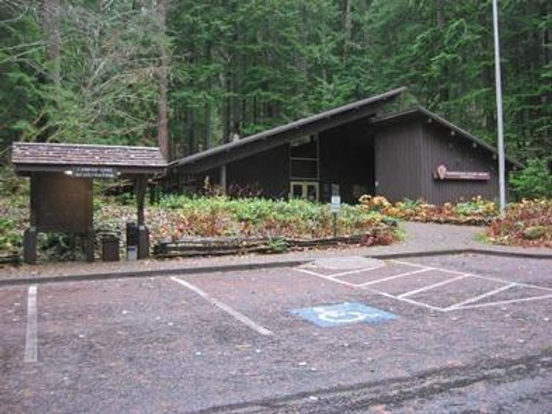
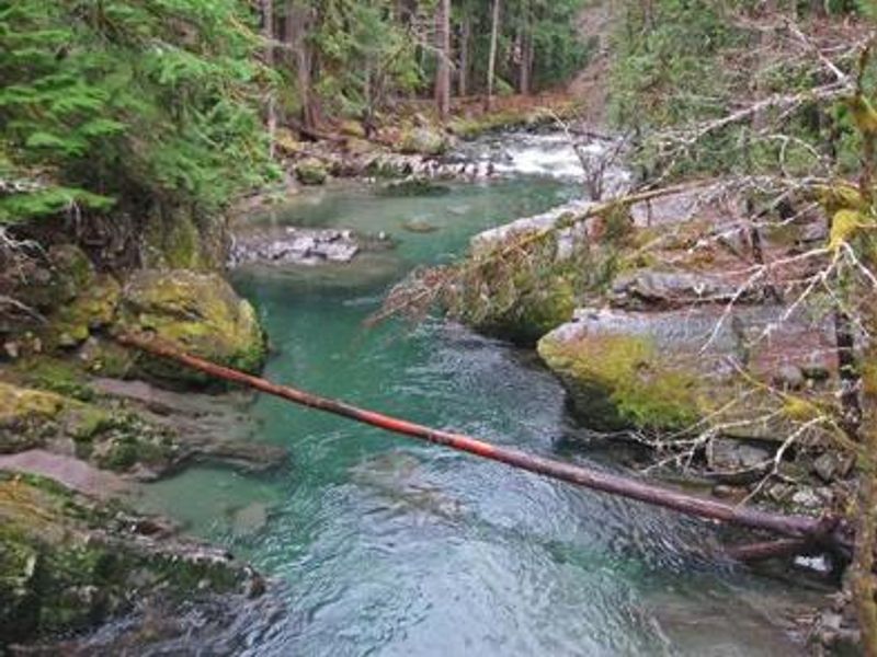
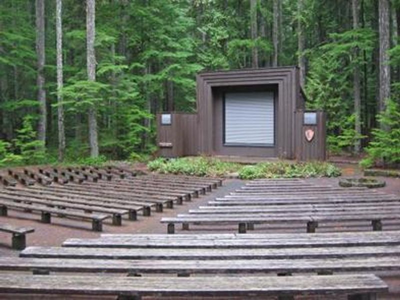
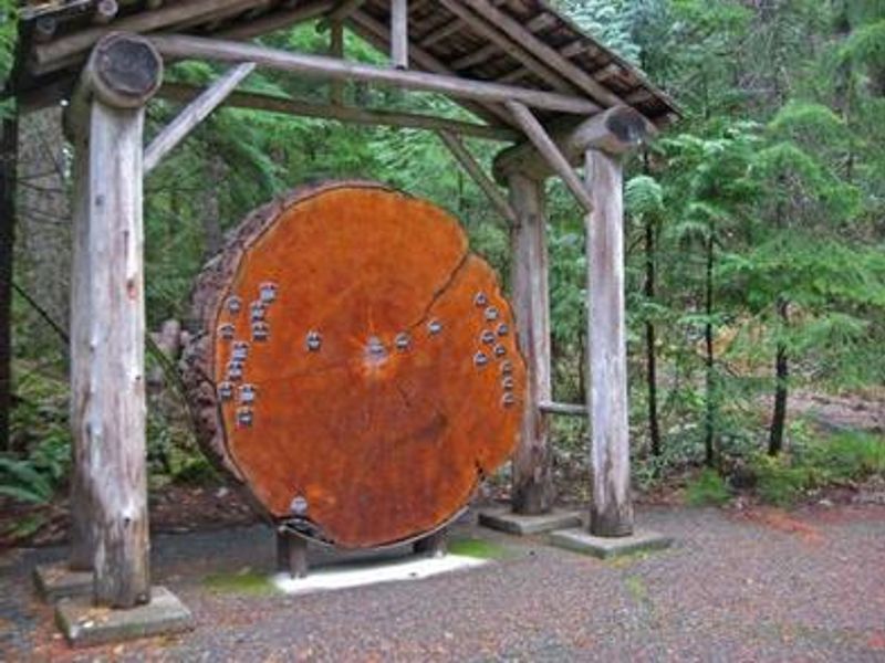
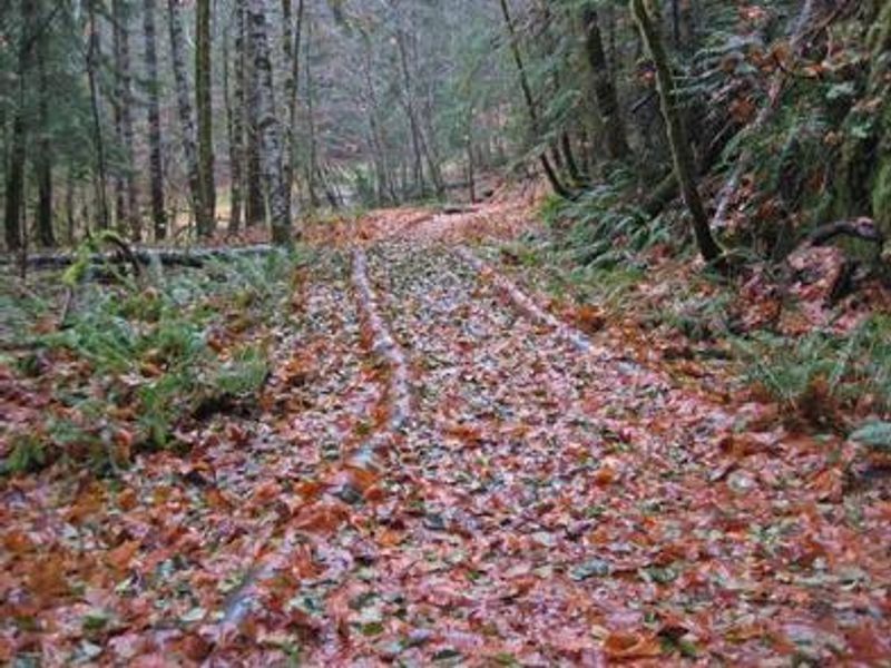
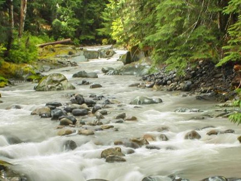
Ohanapecosh Group Campground is situated on the southeast side of Mount Rainier National Park, surrounded by towering old-growth forest and crossed by the exceptionally clear, snow-fed Ohanapecosh River. The name is thought to derive from a Taidnapam Indian word meaning "standing on the edge." The campground provides two group sites, each limited to 25 people and five parking spaces, with tent-only camping. The location offers convenient access to both the Paradise and Sunrise areas of the park. Popular nearby trails include the Grove of the Patriarchs, which winds through ancient forest stands, and several routes leading to Silver Falls. The Ohanapecosh Visitor Center and amphitheater are located nearby for ranger programs and interpretive activities. Amenities at the group campground include drinking water, flush toilets, and picnic tables. Fire rings are not provided at the group sites, and gathering firewood is prohibited. Food must be stored properly due to bear activity in the area. Pets are allowed but must be leashed (6 feet maximum) or caged at all times and cannot be left unattended.
Directions
Located on State Route 123, four miles north of State Route 12, near Packwood, WA.
Amenities
| Water | Yes |
| Fires Allowed | No |
| Toilets | Yes |
| Dump Station | No |
| Wifi | — |
| Pets Allowed | Yes |
| Showers | No |
| Electric Hookups | — |
| Water Hookups | — |
| Sewer Hookups | — |
| Camp Store | — |
| Price | $60 |
Vehicle
| Max RV Length | — |
| Max Trailer Length | — |
| Big Rig Friendly | No |
| Pull Through Sites | No |
Contact
| rene_ellis@nps.gov | |
| Phone | +1 (360) 569-2211 |
Cell Service
| AT&T | None |
| Verizon | None |
| T-Mobile | None |
Availability
Photos
Community Posts
No posts yet. Be the first to share your experience!