Ohanapecosh Campground
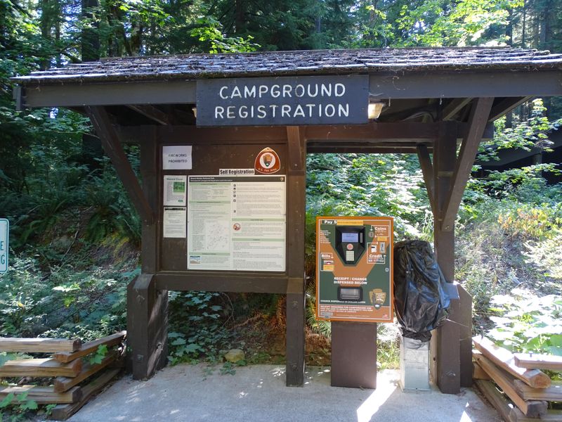
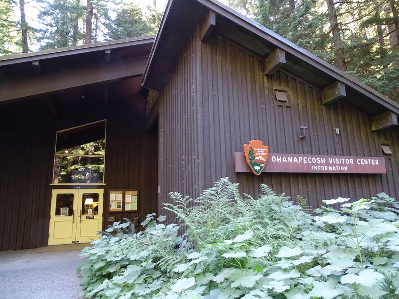
Closed for the entire 2026 season due to a major rehabilitation project upgrading all 185 campsites, nine bathrooms, wastewater systems, electrical and water infrastructure, and accessibility features. The visitor center, picnic area, and associated facilities are also closed. The campground is expected to reopen for the 2027 camping season.
From Recreation.gov
We now expect the Ohanapecosh Campground rehabilitation project to continue into the spring and early summer of 2026. We will reopen the campground as soon after the completion of the project as possible, but we cannot predict an exact opening date. Information on how to secure a campsite for summer 2026, will be posted to the Mount Rainier National Park website at [Campgrounds - Mount Rainier National Park (U.S. National Park Service) ][1]prior to the 2026 camping season*.* [1]: https://www.nps.gov/mora/planyourvisit/campgrounds.htm
From Recreation.gov
**Ohanapecosh Campground Closure in Summer 2026. **The **Ohanapecosh Campground rehabilitation project** will provide significant upgrades to the popular campground located in the southeast corner of the park. This effort will rehabilitate the campground’s 185 campsites and nine bathrooms, replace the aging wastewater collection system, upgrade electrical and water systems, and support improvements to campground accessibility. The Ohanapecosh Campground is anticipated to reopen for the 2027 camping season. More information is available on the [**Park Construction FAQs**][1] page [1]: https://www.nps.gov/mora/planyourvisit/park-construction-faqs.htm
From Recreation.gov
The dump station at the Ohanapecosh Campground is closed. The nearest dump station is located at the Maple Grove Resort 28 miles west on Hwy 12.
About
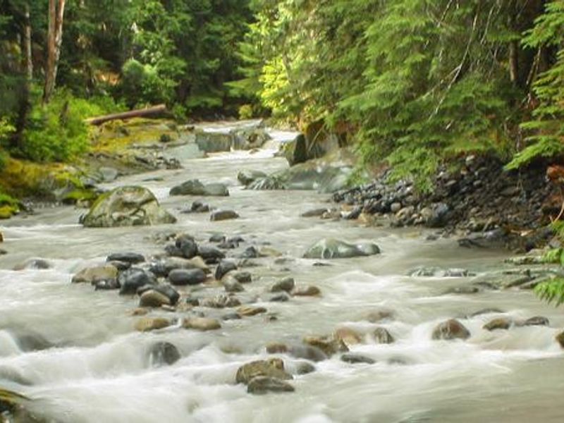
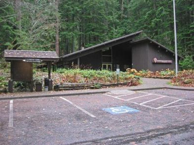
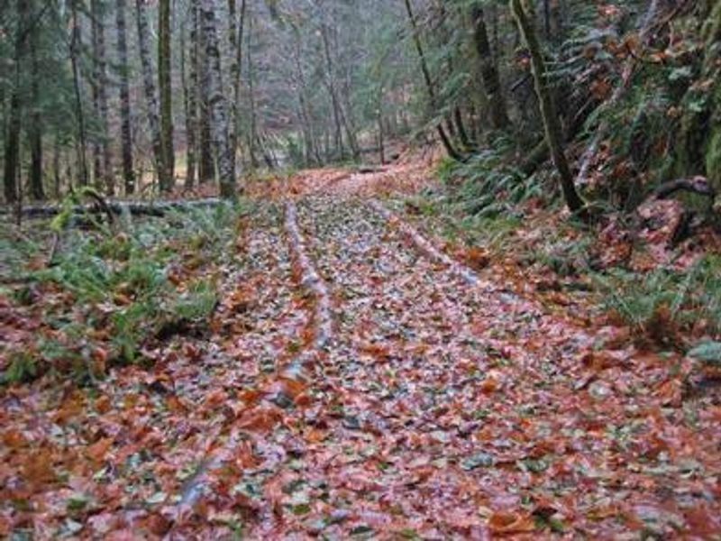
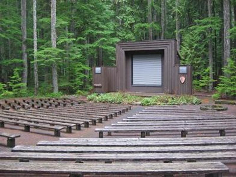
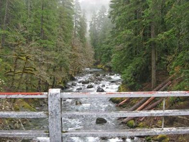
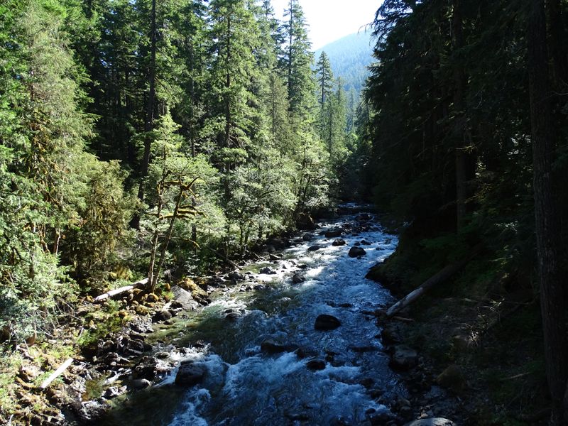
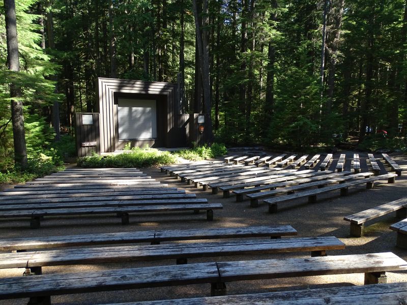
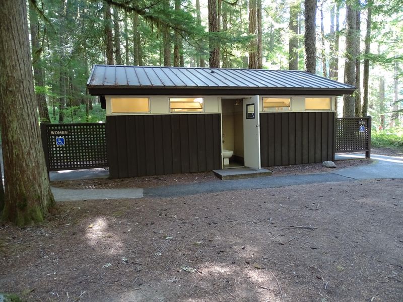
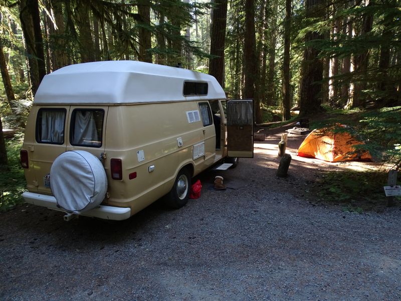
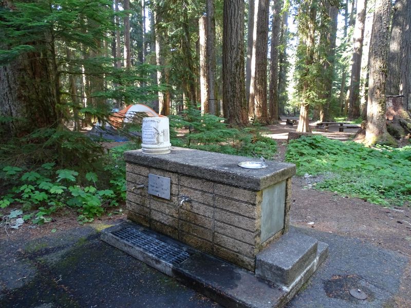
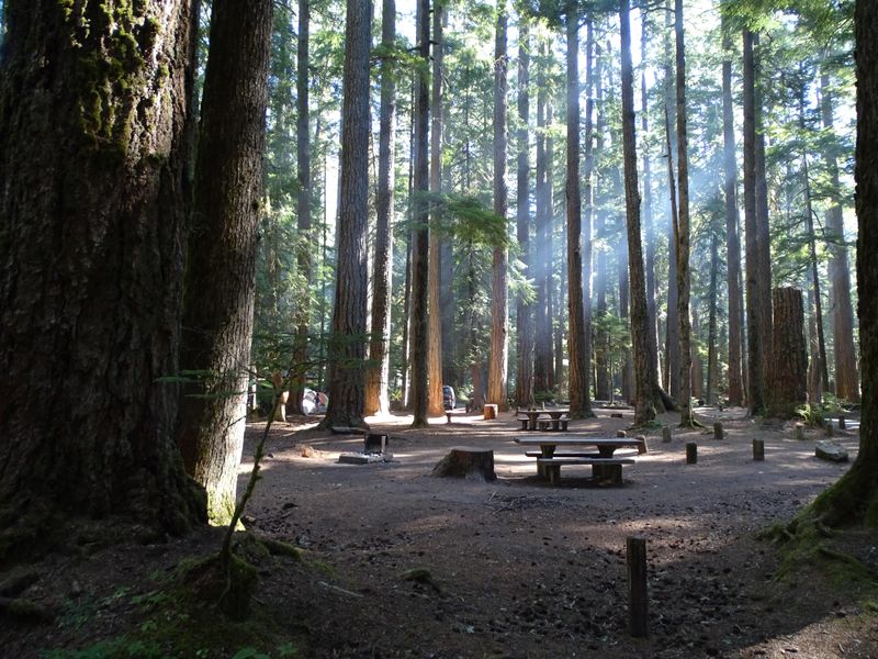
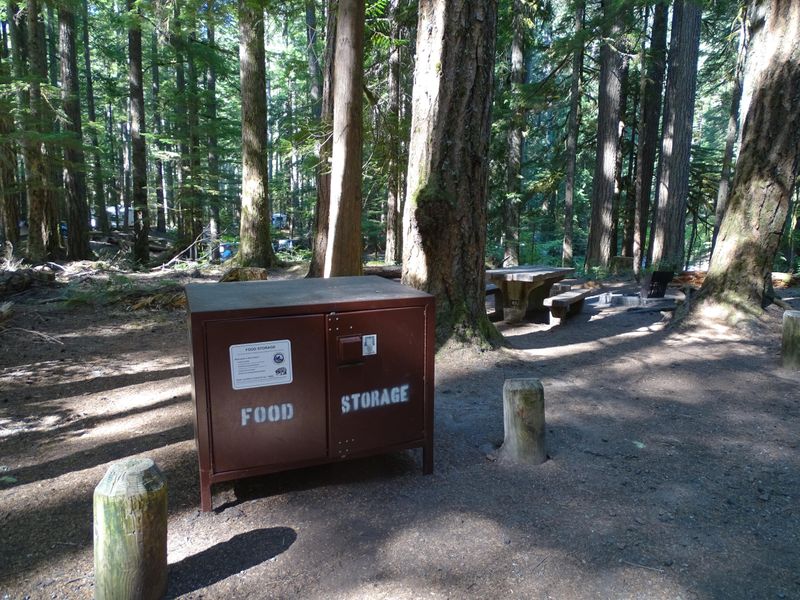
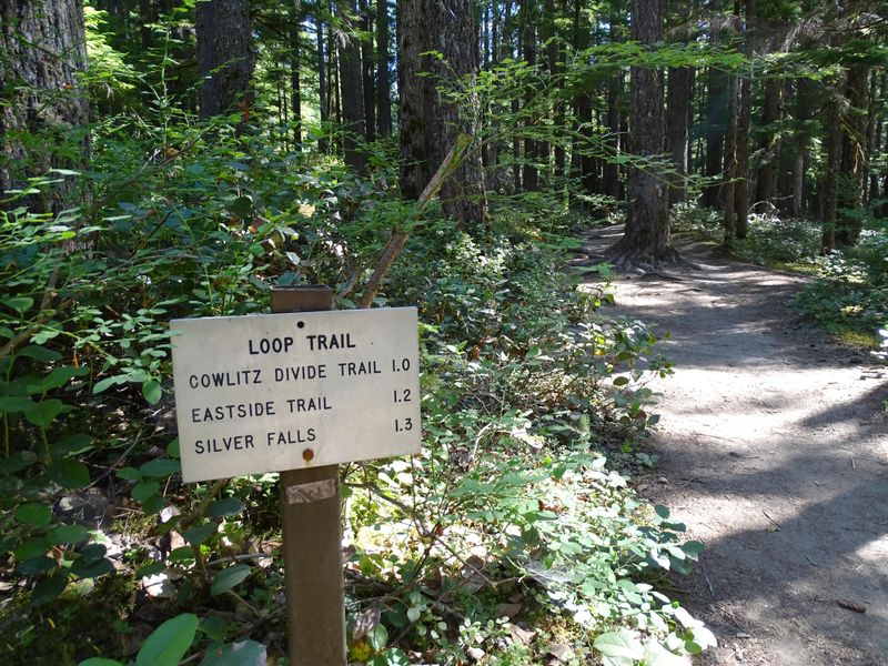
Ohanapecosh Campground occupies a spectacular setting at 1,914 feet elevation along the banks of the Ohanapecosh River, surrounded by towering old-growth Douglas fir and other evergreens in the southeast corner of Mount Rainier National Park. The name derives from a Taidnapam Indian word meaning "standing on the edge." While there is no direct view of Mount Rainier from the campground itself, the mountain dominates the landscape in nearby areas of the park. The campground features 179 individual campsites across multiple loops, with flush toilets, potable water, and fire grates provided. No hookups are available, and the steep river valley with sharp curves makes this campground unsuitable for RVs over 32 feet or trailers over 27 feet. Each site accommodates up to six people and two tents. Pets are permitted on leash but not on trails or vegetated areas. Ohanapecosh provides convenient access to some of the park's most popular hikes, including the Silver Falls trail and the Grove of the Patriarchs, which features impressive stands of ancient trees. The nearby visitor center offers exhibits and ranger programs during the operating season, typically late May through early October.
Directions
Located 17 miles northeast of Packwood, Washington on State Route 123, four miles north of State Route 12, and about one mile north of the park boundary. No street address; GPS coordinates: 46.73111, -121.57028.
Amenities
| Water | Yes |
| Fires Allowed | Yes |
| Toilets | Yes |
| Dump Station | No |
| Wifi | — |
| Pets Allowed | Yes |
| Showers | No |
| Electric Hookups | — |
| Water Hookups | — |
| Sewer Hookups | — |
| Camp Store | — |
| Price | $20 |
Vehicle
| Max RV Length | 32ft |
| Max Trailer Length | 27ft |
| Big Rig Friendly | No |
| Pull Through Sites | No |
Contact
| rene_ellis@nps.gov | |
| Phone | +1 (360) 569-2211 |
Cell Service
| AT&T | None |
| Verizon | None |
| T-Mobile | None |
Availability
Photos


Community Posts
No posts yet. Be the first to share your experience!