Flat Rock
Closed for the season. Typically opens late May and operates through early September. Reservations available via Recreation.gov for some sites; others are first-come, first-served. After-season camping may be available weather-dependent with no utilities or services.
Flood Watch issued September 18 at 10:30AM MDT until September 19 at 12:00AM MDT by NWS Pocatello ID
* WHAT...Flash flooding caused by excessive rainfall is possible. * WHERE...Portions of central, eastern, and southeast Idaho, including the following areas, in central Idaho, Challis/Pahsimeroi Valleys, Frank Church Wilderness, Lost River Valley, Sawtooth/Stanley Basin, Sun Valley Region and Wood River Foothills. In eastern Idaho, Beaverhead - Lemhi Highlands, Big Hole Mountains, Centennial Mountains - Island Park and Teton Valley. In southeast Idaho, Arco/Mud Lake Desert, Bear Lake Valley, Bear River Range, Blackfoot Mountains, Caribou Range, Franklin/Eastern Oneida Region, Lower Snake River Plain and Marsh and Arbon Highlands. * WHEN...Through this evening. * IMPACTS...Excessive runoff may result in flooding of rivers, creeks, streams, and other low-lying and flood-prone locations. Flooding may occur in poor drainage and urban areas. Storm drains and ditches may become clogged with debris. * ADDITIONAL DETAILS... - Heavy rainfall from thunderstorms is expected through this evening across central and eastern Idaho. Rainfall amounts in excess of 0.50" are possible, leading to flooding within burn scars, steep terrain, and urban areas. - http://www.weather.gov/safety/flood
Weed Free Hay Order 04-2021-03
Prohibited by this order: Possessing, storing, or transporting non-pelletized hay, straw, or mulch in the Intermountain Region, unless it is certified as weed free by the state where the product originated.
Fireworks and Spark Arrestor Order 04-2021-01
Prohibited by this order: Possessing, discharging, or using any kind of firework or other pyrotechnic device. 36 CFR §261.52(t)Operating or using any internal or external combustion engine without a spark arresting device properly installed, maintained and in effective working order as described…
About
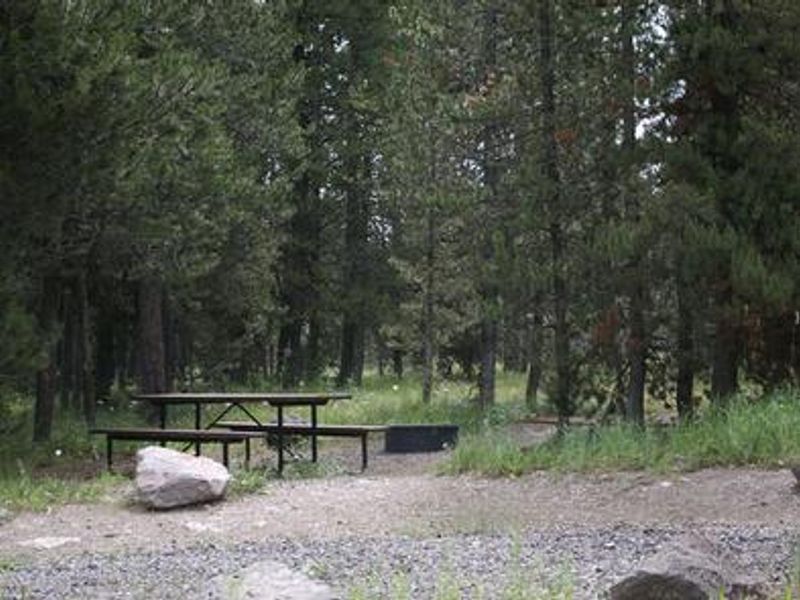
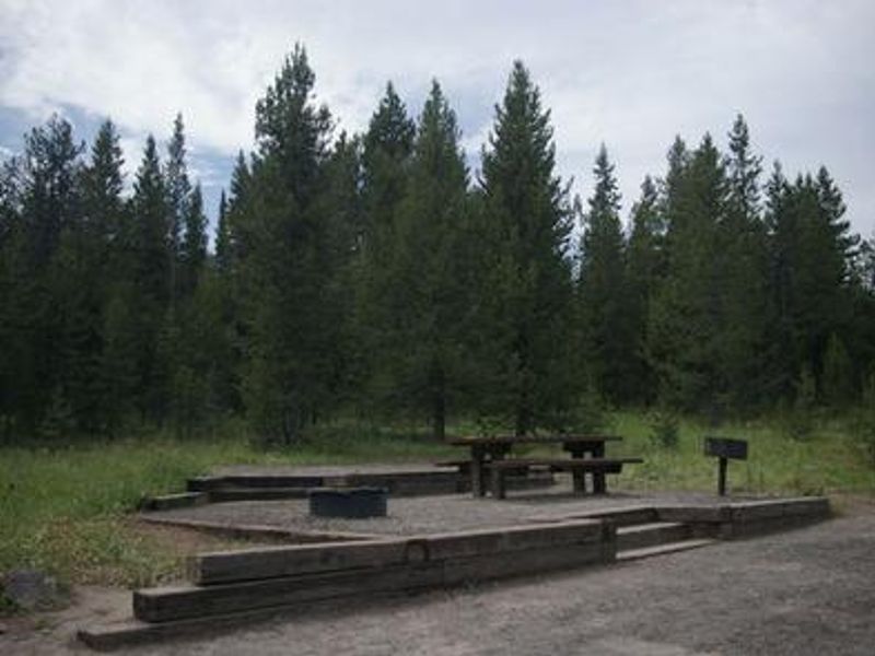
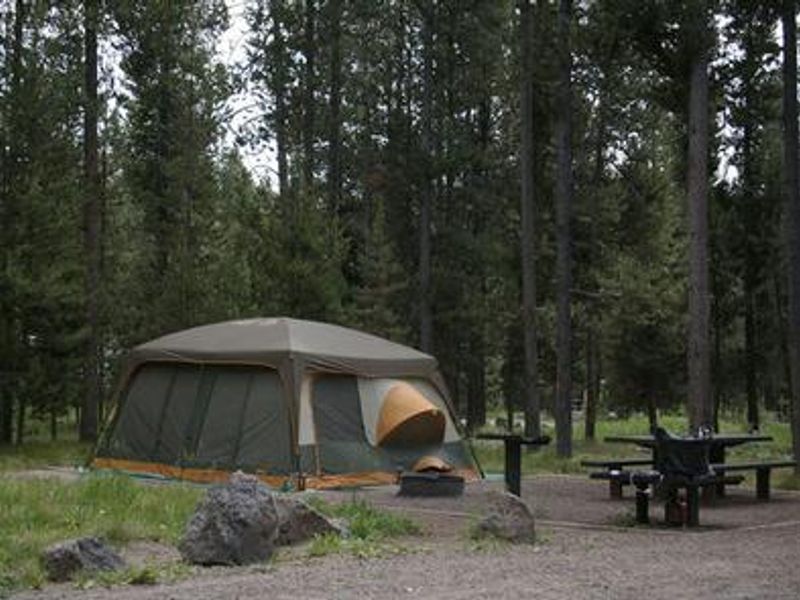
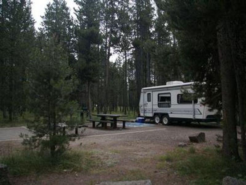
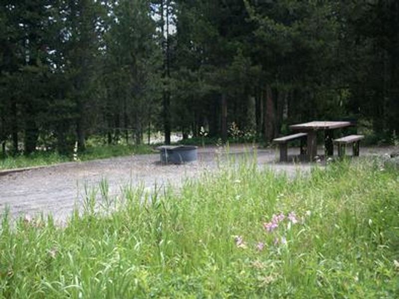
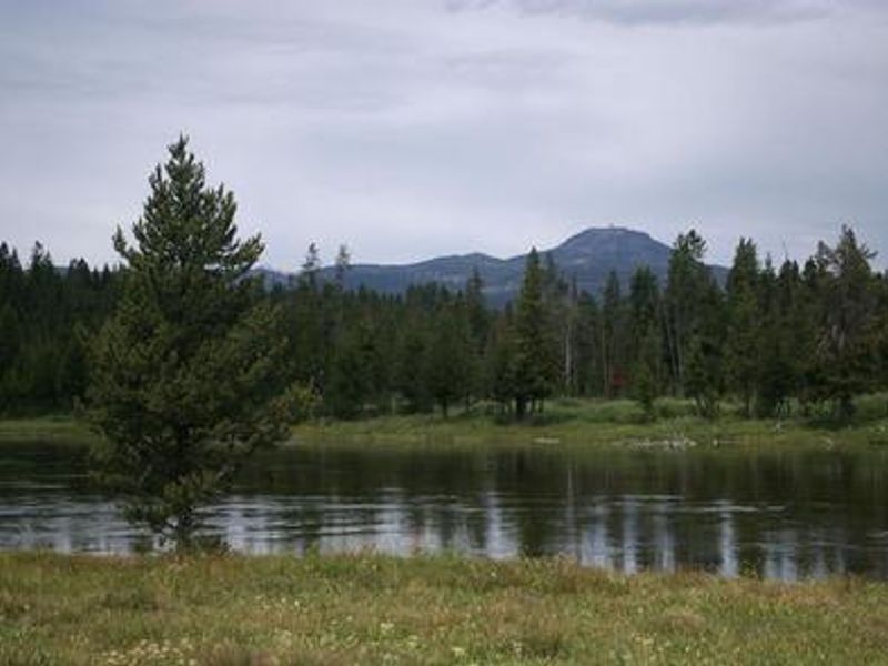
Flat Rock Campground is located in the Caribou-Targhee National Forest, 22 miles south of West Yellowstone, Montana and 30 miles north of Ashton, Idaho. Situated along the Henry's Fork of the Snake River at 6,400 feet elevation, the campground provides a mix of lodgepole pine shade and river access. Some sites offer views of the river. The campground has 37 single-family sites and 1 double-family site. Six sites feature 50-amp electric hookups. All sites include a picnic table, campfire ring, and tent pad. The campground can accommodate RVs up to 65 feet. Vault toilets, potable drinking water, and trash collection are provided. A campground host is on-site during the operating season. Showers and supplies are available across the highway at Macks Inn. The Henry's Fork provides excellent fly-fishing for rainbow and brook trout. The Big Springs National Recreation Water Trail offers a 3-hour float from Big Springs to Macks Inn through scenic wildlife habitat. Yellowstone National Park's west entrance is 22 miles north. Mesa Falls Scenic Byway is 11 miles south, and Harriman State Park is 13 miles south.
Directions
From West Yellowstone, Montana, take U.S. Highway 20 south for 22 miles. From Ashton, Idaho, take U.S. Highway 20 north for 30 miles. The campground entrance is 1/4 mile south of Macks Inn on the west side of the highway.
Amenities
| Water | Yes |
| Fires Allowed | Yes |
| Toilets | Yes |
| Dump Station | — |
| Wifi | — |
| Pets Allowed | — |
| Showers | No |
| Electric Hookups | Yes |
| Water Hookups | No |
| Sewer Hookups | No |
| Camp Store | No |
| Price | $25 - $62 |
Vehicle
| Max RV Length | 65ft |
| Max Trailer Length | 65ft |
| Big Rig Friendly | Yes |
| Pull Through Sites | No |
Contact
| Phone | +1 (208) 652-7442 |
Cell Service
| AT&T | Yes |
| Verizon | Yes |
| T-Mobile | Yes |
Availability
Photos
Community Posts
No posts yet. Be the first to share your experience!