Black Bear Group Area
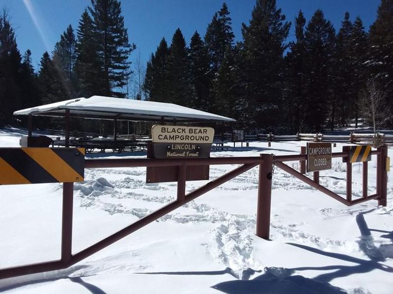
Closed for the winter season. Reopens May 15, 2026. Reservations required via Recreation.gov. Fire restrictions may be imposed during hot, dry conditions.
Flood Warning issued September 29 at 10:32PM MDT until September 30 at 1:00AM MDT by NWS El Paso Tx/Santa Teresa NM
* WHAT...Flooding caused by excessive rainfall continues. * WHERE...Otero County in south central New Mexico... * WHEN...Until 100 AM MDT. * IMPACTS...While rains have diminished, flooding of rivers, creeks, streams, and other low-lying and flood-prone locations is imminent or occurring. Numerous roads remain closed due to flooding. Streams continue to rise due to excess runoff from earlier rainfall. It will take several hours for all the water from these storms to work through local drainage systems in urban areas. * ADDITIONAL DETAILS... - At 1030 PM MDT, Moderate to occasionally heavy rainfall continues to move across Otero County. Flooding is likely in poor drainage areas across the county. Minor flooding is also likely in all arroyos and low water crossings. - This warning replaces several Flash Flood Warnings in the Tularosa Basin area as rainfall rates have subsided. Flash Flood Warnings will be issued for more localized areas of serious flash flooding as needed. - Some locations that will experience flooding include... Alamogordo, Tularosa, Mescalero, Cloudcroft, Orogrande, White Sands National Park, Mayhill, Pinon and Burro Flats. - http://www.weather.gov/safety/flood
Flood Watch issued September 29 at 2:47PM MDT until September 30 at 6:00AM MDT by NWS El Paso Tx/Santa Teresa NM
* WHAT...Flooding caused by excessive rainfall continues to be possible. * WHERE...Southwest New Mexico including Dona Ana, Otero, Luna, Sierra, Grant, and Hidalgo Counties. Far West Texas, including El Paso and Hudspeth Counties. * WHEN...Through late tonight. * IMPACTS...Excessive runoff may result in flooding of rivers, creeks, streams, and other low-lying and flood-prone locations. Flooding may occur in poor drainage and urban areas. Low-water crossings may be flooded. * ADDITIONAL DETAILS... - Tropical moisture will be transported northward ahead of decaying Tropical Cyclone Polo today, bringing widespread showers and thunderstorms to the region. High rainfall rates and repeated rounds of rain up to 4 inches may result in instances of flash flooding. Heavy rainfall from last week has saturated soils and will elevate the flood threat further into Wednesday morning. - http://www.weather.gov/safety/flood
Wind Advisory issued September 29 at 3:00PM MDT until September 30 at 12:00AM MDT by NWS El Paso Tx/Santa Teresa NM
* WHAT...Southwest winds 30 to 40 mph with gusts up to 55 mph expected. * WHERE...Portions of south central New Mexico and southwest Texas. * WHEN...From 3 PM this afternoon to midnight MDT tonight. * IMPACTS...Gusty winds will blow around unsecured objects. Tree limbs could be blown down and a few power outages may result.
About
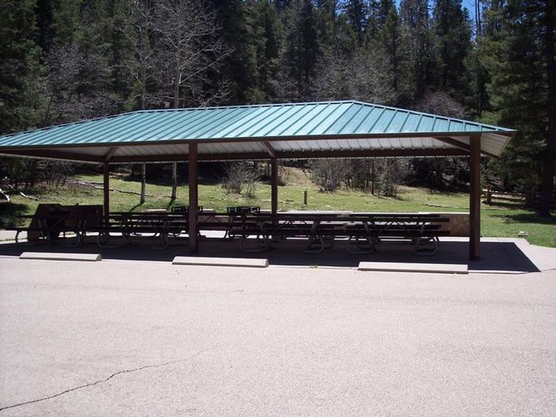
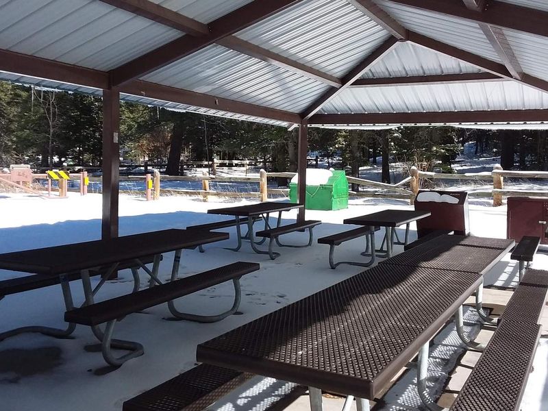
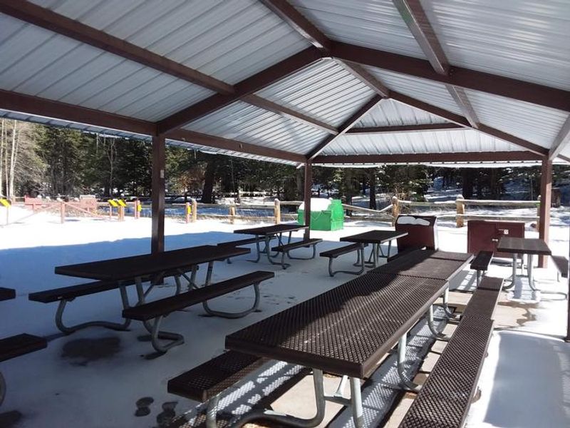
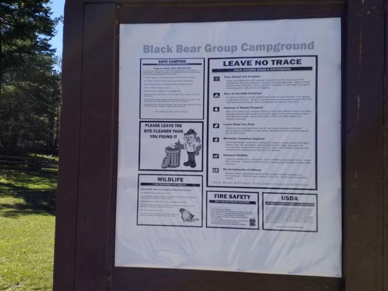
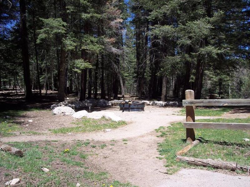
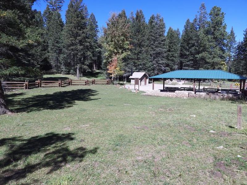
Black Bear Group Area sits at 9,000 feet elevation in the Sacramento Mountains of south-central New Mexico, surrounded by aromatic ponderosa pines and aspen groves of Lincoln National Forest. The site overlooks the Tularosa Basin, a 6,500-square-mile desert valley stretching between the Sacramento and San Andres mountain ranges. Evening skies here are remarkably clear, making it an excellent location for stargazing. The campground accommodates groups up to 70 people and includes a covered pavilion, vault toilets, picnic tables, campfire pits, and grills. No potable water is available on-site; water can be obtained at Sleepy Grass Campground through Labor Day. The area connects to hiking and biking trails, including the nearby Rim Trail and the 2.5-mile Osha Trail loop. This area holds historical significance as the birthplace of the Smokey Bear legend. In 1950, firefighters rescued a burned bear cub clinging to a scorched tree during a fire in Lincoln National Forest. The cub was adopted by the US Forest Service and became the real-life mascot for fire prevention.
Directions
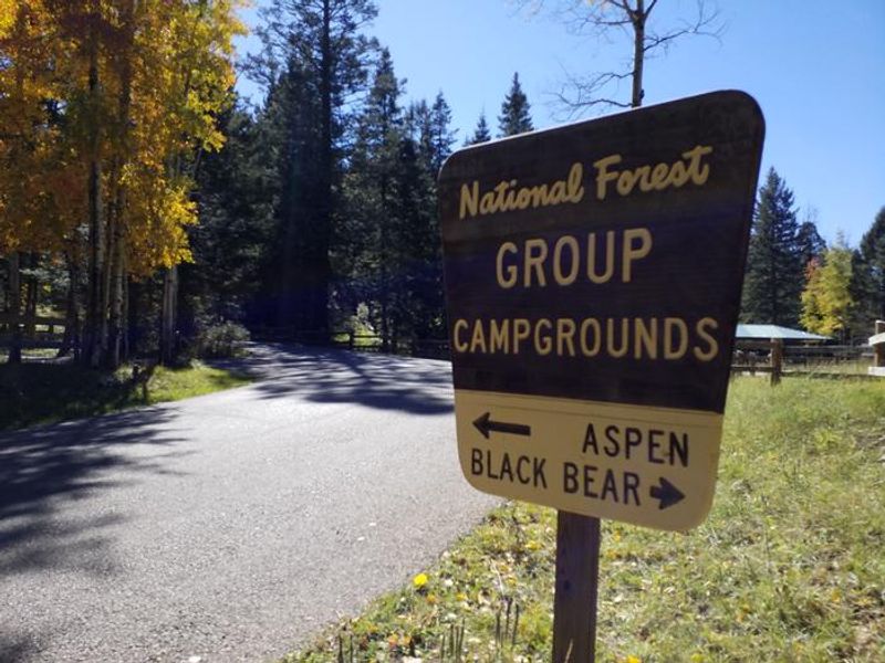
From Alamogordo, take US 82 east for 16 miles. Just before Cloudcroft, turn right (south) on NM 130 and go 1.4 miles. Turn left (east) on Forest Road 24B and go 0.5 miles. Black Bear Group Area is on the right (south) side of the road, across from Aspen Group Area.
Amenities
| Water | No |
| Fires Allowed | Yes |
| Toilets | Yes |
| Dump Station | No |
| Wifi | — |
| Pets Allowed | — |
| Showers | No |
| Electric Hookups | — |
| Water Hookups | — |
| Sewer Hookups | — |
| Camp Store | — |
| Price | $123 - $154 |
Vehicle
| Max RV Length | 35ft |
| Max Trailer Length | 35ft |
| Big Rig Friendly | No |
| Pull Through Sites | No |
Contact
| Phone | +1 (575) 434-7200 |
Cell Service
| AT&T | None |
| Verizon | None |
| T-Mobile | None |
Availability
Photos
Community Posts
No posts yet. Be the first to share your experience!