Green Ridge
Open for the season. There is a temporary water outage; bring all drinking water needed for your visit. Reservation holders receive a 25% discount while water is unavailable. Loop A typically closes mid-October; Loop B closes mid-September.
From Recreation.gov
Our facility is experiencing a temporary water outage. Please bring all the water you’ll need for your visit, including drinking water. Reservation holders will receive a 25% use fee discount while the water is off.
Wheeled Vehicles in Wilderness
This order describes the prohibition of wheeled vehicles in all National Forest Wilderness Areas of the Rocky Mountain Region and any exceptions thereof.
Weed Free Forage Products
The purpose of this Order is to prevent the introduction or spread of noxious weeds.
About
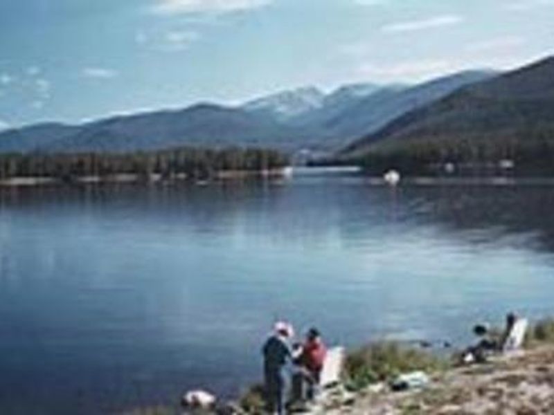
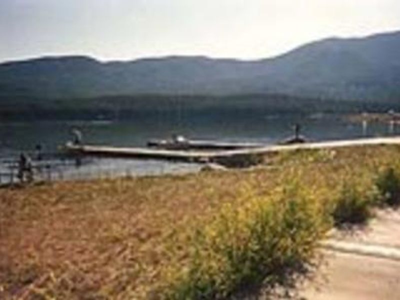
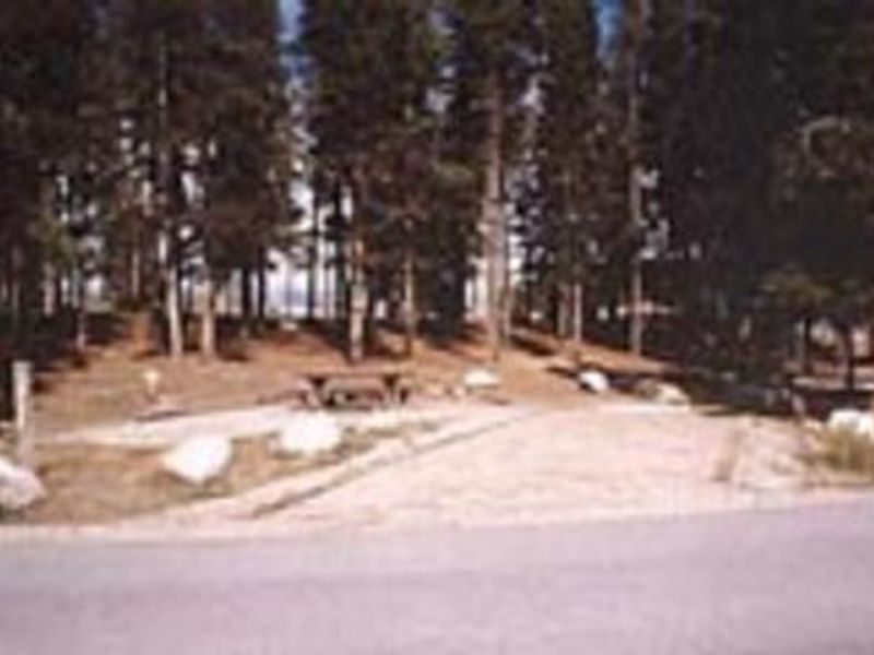
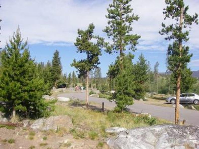
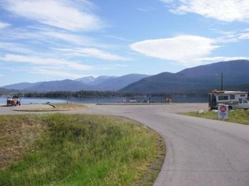
Green Ridge Campground is situated between Shadow Mountain Reservoir and the Colorado River in the Arapaho National Recreation Area, 12 miles northwest of Granby. At 8,300 feet elevation, the campground provides direct reservoir access via an on-site boat ramp and dock. Anglers target kokanee salmon, rainbow, brown, mackinaw, and cutthroat trout in the reservoir and nearby Colorado River. The campground offers 79 non-electric single-family sites plus one double and one triple capacity site. Each site includes a picnic table, fire ring, and tent pad, with parking spurs ranging from 25 to 35 feet. Flush and vault toilets serve the campground. Due to pine beetle infestation and subsequent hazard tree removal, shade is minimal, though thousands of seedlings have been planted since 2008. Numerous hiking and horseback riding trails are accessible from the area, including the East Shore Trail (part of the Continental Divide National Scenic Trail), Roaring Fork Trail, and Monarch Lake Trail. Rocky Mountain National Park's west entrance is just north of Grand Lake, offering additional recreation opportunities.
Directions
From Granby, travel north 12 miles on U.S. Highway 34 to County Road 66, then east 2 miles to Forest Road 274 on Shadow Mountain Lake.
Amenities
| Water | Yes |
| Fires Allowed | Yes |
| Toilets | Yes |
| Dump Station | No |
| Wifi | — |
| Pets Allowed | Yes |
| Showers | No |
| Electric Hookups | — |
| Water Hookups | — |
| Sewer Hookups | — |
| Camp Store | — |
| Price | $29 |
Vehicle
| Max RV Length | 47ft |
| Max Trailer Length | 47ft |
| Big Rig Friendly | No |
| Pull Through Sites | No |
Contact
| Phone | +1 (530) 529-0578 |
Cell Service
| AT&T | Yes |
| Verizon | Yes |
| T-Mobile | None |
Availability
Photos


Community Posts
No posts yet. Be the first to share your experience!