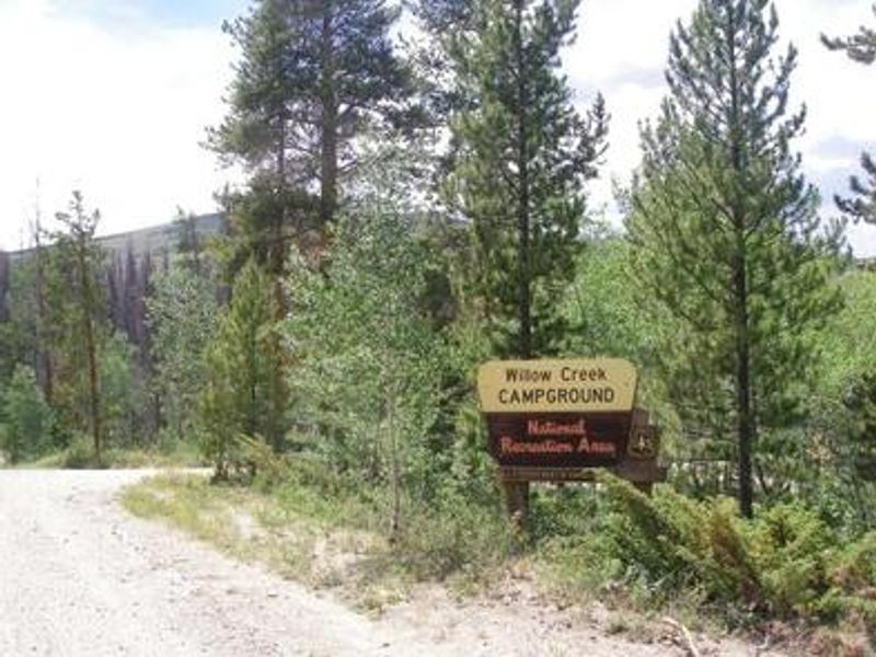
Willow Creek Group
Currently closed for the season. Opens May 15, 2026. Water system is not operational due to fire damage; campers must bring their own drinking water. Reservations available through Recreation.gov. Maximum consecutive stay is 7 days.
Wheeled Vehicles in Wilderness
This order describes the prohibition of wheeled vehicles in all National Forest Wilderness Areas of the Rocky Mountain Region and any exceptions thereof.
Weed Free Forage Products
The purpose of this Order is to prevent the introduction or spread of noxious weeds.
Cave Closure and Restrictions
The purpose of this Order is to reduce the spread of the fungus that causes White nose syndrome and to protect bat species during critical biological periods.
About
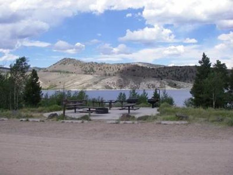
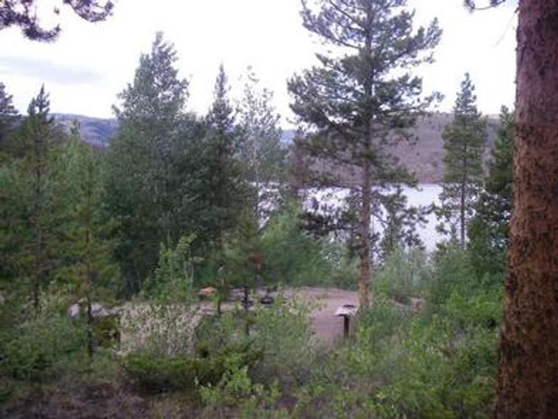
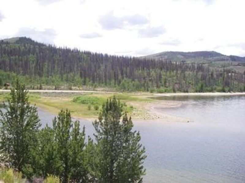
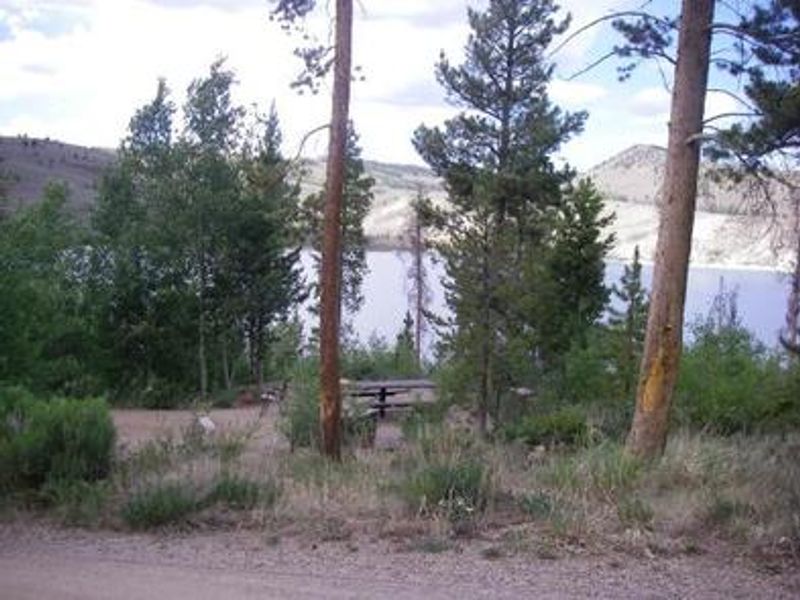
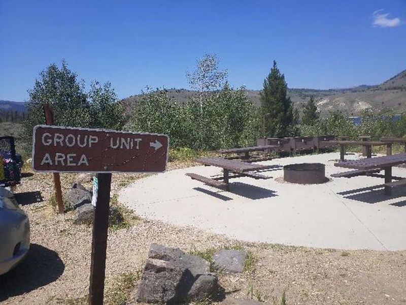
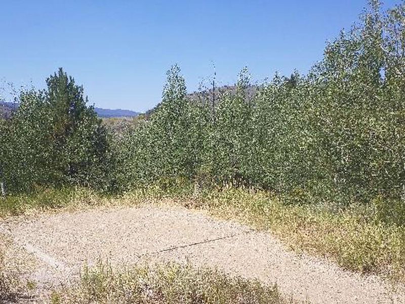
Willow Creek Group Campground offers a single reservable group site on the southern shore of Willow Creek Reservoir within the Arapaho National Recreation Area. Situated at 8,130 feet elevation approximately six miles northwest of Granby, the site can accommodate up to 20 people with tent camping only. Each site features tent pads, picnic tables, and fire grates, with vault toilets available. Willow Creek Reservoir is a 300-acre no-wake lake open to canoes, kayaks, and non-motorized boats. Anglers can fish for rainbow, brown, and brook trout. A boat ramp is located nearby. Numerous hiking and horseback riding trails are accessible within the recreation area, including the East Shore Trail (part of the Continental Divide National Scenic Trail), Roaring Fork Trail, and Monarch Lake Trail. The campground has limited shade due to hazardous tree removal following mountain pine beetle infestation. Bear lockers are available at some sites. The west entrance to Rocky Mountain National Park is just north of Grand Lake, offering additional recreation opportunities.
Directions
From the intersection of US Highways 40 and 34 in Granby, head north on Highway 34 for approximately 5 miles to the junction with County Road 40. Turn west and travel approximately 3 miles to the campground.
Amenities
| Water | No |
| Fires Allowed | Yes |
| Toilets | Yes |
| Dump Station | — |
| Wifi | — |
| Pets Allowed | Yes |
| Showers | No |
| Electric Hookups | — |
| Water Hookups | — |
| Sewer Hookups | — |
| Camp Store | — |
| Price | $116 |
Vehicle
| Max RV Length | — |
| Max Trailer Length | — |
| Big Rig Friendly | No |
| Pull Through Sites | No |
Contact
| VisitARP@usda.gov | |
| Phone | +1 (970) 295-6600 |
Cell Service
| AT&T | None |
| Verizon | Yes |
| T-Mobile | None |
Availability
Photos

Community Posts
No posts yet. Be the first to share your experience!