Lower Piedra
Closed for the entire 2026 season due to flooding damage from October 2025 storms. The access road (Forest Road 621) was washed away and complete road reconstruction is planned for 2026.
From Recreation.gov
**ALERT: Campground will be closed for the 2026 season due to flooding damage.**
Wheeled Vehicles in Wilderness
This order describes the prohibition of wheeled vehicles in all National Forest Wilderness Areas of the Rocky Mountain Region and any exceptions thereof.
Weed Free Forage Products
The purpose of this Order is to prevent the introduction or spread of noxious weeds.
Cave Closure and Restrictions
The purpose of this Order is to reduce the spread of the fungus that causes White nose syndrome and to protect bat species during critical biological periods.
Cottonwood Road Reconstruction Area Closure Order
The Cottonwood Road (NFSR 532) on the Dolores Ranger District will be closed from mile marker 3.7 to 4.6 and the Mavreeso Trailhead will be closed at the Cottonwood Road (southern terminus of the trail)
STAGE 1 FIRE PROHIBITIONS
Stage 1 Fire Restrictions are in effect as of 5/22/2026 for the San Juan National Forest. Areas affected are shown in the attached maps.
Falls Creek Closure Area, Camping, and Motor Vehicle Travel Restrictions
This San Juan National Forest forest order describes closure areas, as well as camping and motor vehicle travel restrictions in the Falls Creek.
West Fork Road and Bridge Closure Order
The Pagosa Ranger District's West Fork Bridge is closed by Forest Order due to damage during the October 2025 flood events. Forest Road 648 (West Fork) is closed at location identified by this order.
Multiple roads and trails damaged by flooding on SJNF
In early October, severe flooding events created ongoing safety and access concerns for Forest users on the Columbine and Pagosa Ranger Districts of the San Juan National Forest. Available forest employees are assessing the many roads, trails, bridges, and other infrastructure that was damaged or…
Lemon Reservoir Restrictions
The following act is prohibited on the National Forest System (NFS) lands and waters on the Columbine Ranger District of the San Juan National Forest:
Cascade Flume Safety Closure
Area closure: The purpose of this Order is for public health and safety during the Cascade Tacoma Flume repair. The recent failure of the flume resulted in infrastructure damage and a landslide that has destabilized the Described Area. Concerns for public safety include loose debris, continuing…
McPhee Reservoir Prohibitions
The purpose of this Order is to prevent the infestation of aquatic nuisance species.
Mancos/Dolores Camping Restrictions
The purpose of this Order is to protect public safety and natural resources.
Purgatory Ski Resort Area Vehicle Use Restrictions
From November 15 through April 30 annually, it is prohibited to use an over-snow vehicle (snowmobiles, timber sleds, and ski bikes) or mechanized vehicle that lacks a motor, such as a non-electric bicycle, on the Described Roads and Described Trails and OFF NFS roads in the Described Area. (See map…
Chicken Creek Ski Area Dog Restrictions
Dogs are not allowed in the Chicken Creek Ski Area from December 15 to March 15, annually in order to protect public safety.
McPhee Overlook Trail Seasonal Closure
The purpose of the seasonal closure of the McPhee Over Trail is to protect critical winter wildlife habitat.
La Plata Canyon Camping and Fire Restrictions
La Plata Canyon Camping and Fire Restrictions are in place to protect the natural resources in this beautiful, very popular area. Camping is prohibited outside of Forest Service designated camping areas (Darby, La Plata City, Bay City, Miners Cabin, and Madden Creek) and developed campgrounds…
Andrews Lake Camping Restrictions
Andrews Lake area is closed to camping in order to protect natural resources.
Hermosa Creek Wilderness Occupancy and Use Restrictions
In order to protect the National Forest System (NFS) lands and trails in the Hermosa Creek Wilderness, the following are prohibited:Entering or being upon a trail, campsite, or other area by a group larger than 15 people, with a maximum combination of people and stock not to exceed 25 in one…
Forest Wide Camping Stay Limits
In order to protect natural resources and to provide for public health and safety, the following are prohibited on National Forest System (NFS) lands in the San Juan National Forest:Camping, or leaving camping equipment at any location or within three (3) miles of any prior…
Chimney Rock National Monument Occupancy and Use Restrictions
The purpose of this Order is to protect the objects of the monument through implementing restrictions prescribed in the Chimney Rock National Monument (CRNM) Final Management Plan and Environmental Impact Statement (EIS).
Grizzly Peak Research Natural Area Special Closure Order
This order implements prohibitions necessary to provide protection of natural conditions and processes in order to facilitate research and education and maintain biological diversity – the purposes for which RNAs are established on National Forest System lands – within the Grizzly Peak RNA.
Lizard Head Wilderness Area Occupancy & Use
This Order is necessary to protect physical and biological resources of the Lizard Head Wilderness, and to protect the human experience of Wilderness character, solitude, and the untrammeled condition of the landscape.
Forest Orders
Visit our Forest Order page for a list of all the current Forest Orders: Closures, Fire Restrictions, and Camping, Occupancy, and Use Restrictions.Forest and Regional orders are generally temporary in nature and are designed to protect public safety and our natural resource. After review, Regional…
About
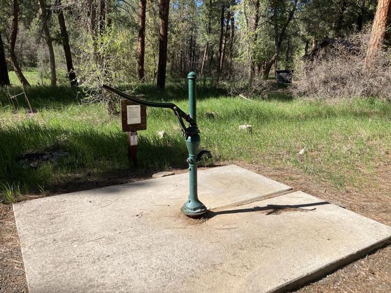
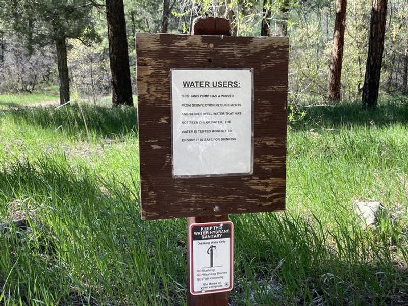
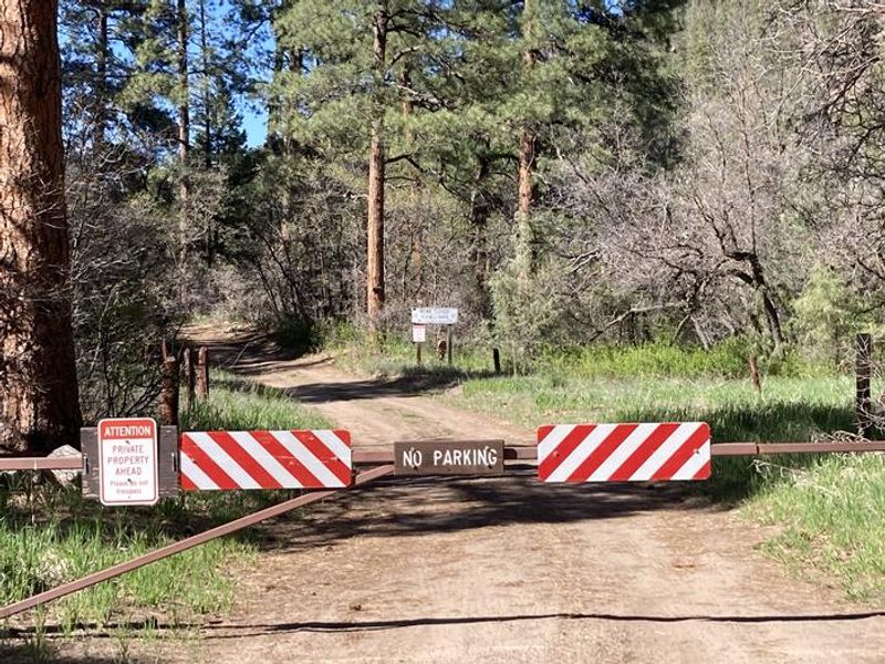
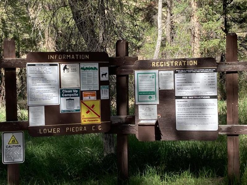
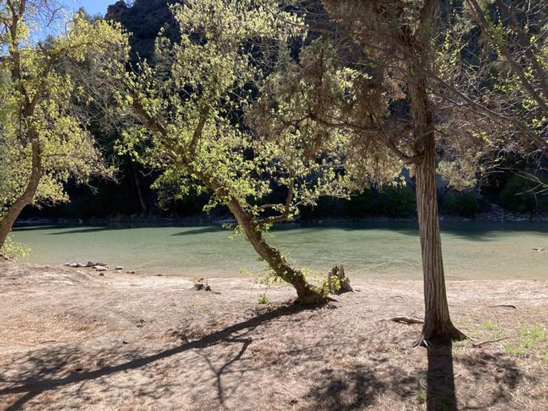
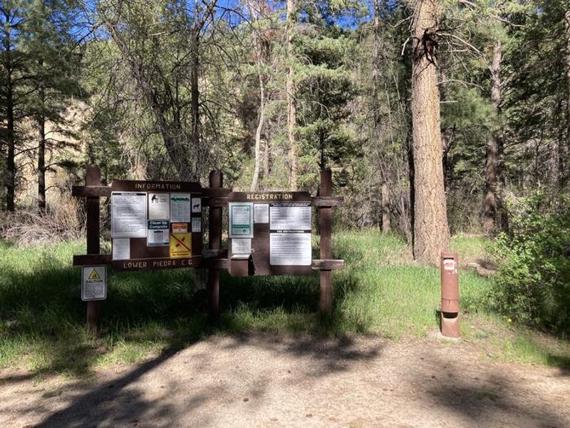
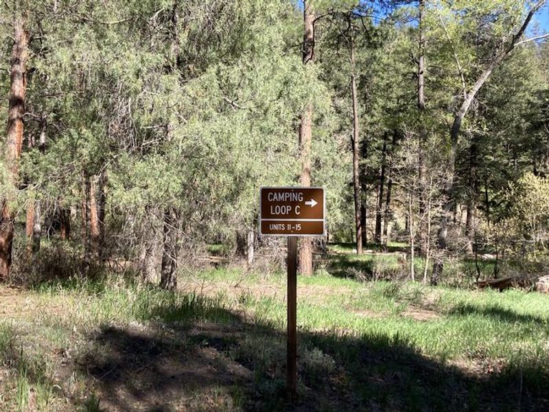
Lower Piedra Campground occupies a scenic stretch along the west bank of the Piedra River within San Juan National Forest. The campground features 17 large, level campsites tucked beneath generous shade trees. The Piedra River remains a productive fishery despite regular angling pressure, making this a popular destination for fishing enthusiasts. The campground provides essential services including potable water, trash pickup, and two vault toilets. Each site comes equipped with a picnic table and fire grate. Standard occupancy is 8 people per site with check-in at 2:00 PM and check-out at noon. Quiet hours run from 10 PM to 6 AM, and generator use should be limited to one hour at a time. Access is via Forest Road 621, approximately 23 miles west of Pagosa Springs or 18 miles east of Bayfield off US Highway 160. The campground accommodates RVs up to 35 feet, though all equipment must fit within the designated parking spur as no overflow parking exists. Dispersed camping is prohibited within 100 yards of FR 621 from the cattle guard to the campground boundary.
Directions
From Pagosa Springs: Travel west on US Highway 160 for about 23 miles. Turn north on Forest Road 621 (west side of the Piedra River) and continue about 1 mile to the campground. From Bayfield: Travel east on US Highway 160 for about 18 miles, then turn north on FR 621 for 1 mile.
Amenities
| Water | Yes |
| Fires Allowed | Yes |
| Toilets | Yes |
| Dump Station | No |
| Wifi | — |
| Pets Allowed | Yes |
| Showers | No |
| Electric Hookups | — |
| Water Hookups | — |
| Sewer Hookups | — |
| Camp Store | — |
| Price | $28 |
Vehicle
| Max RV Length | 35ft |
| Max Trailer Length | — |
| Big Rig Friendly | No |
| Pull Through Sites | No |
Contact
| SM.FS.PagosaRD@usda.gov | |
| Phone | +1 (970) 264-2268 |
Cell Service
| AT&T | None |
| Verizon | None |
| T-Mobile | None |
Useful Links
| View on Recreation.gov | |
| USFS - Lower Piedra Campground |
Availability
Photos


Community Posts
No posts yet. Be the first to share your experience!