Graham Creek Campground
Open for the 2026 season. The campground operates May through September with 15 sites available through Recreation.gov and 10 sites first-come, first-served. The old boat ramp is permanently closed; lake access is by foot only for registered campers.
Wheeled Vehicles in Wilderness
This order describes the prohibition of wheeled vehicles in all National Forest Wilderness Areas of the Rocky Mountain Region and any exceptions thereof.
Weed Free Forage Products
The purpose of this Order is to prevent the introduction or spread of noxious weeds.
Cave Closure and Restrictions
The purpose of this Order is to reduce the spread of the fungus that causes White nose syndrome and to protect bat species during critical biological periods.
About
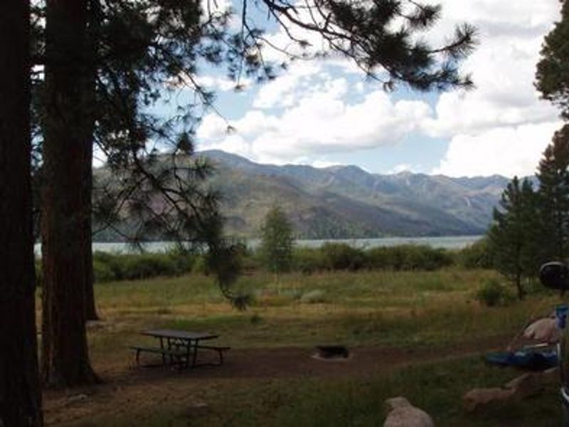
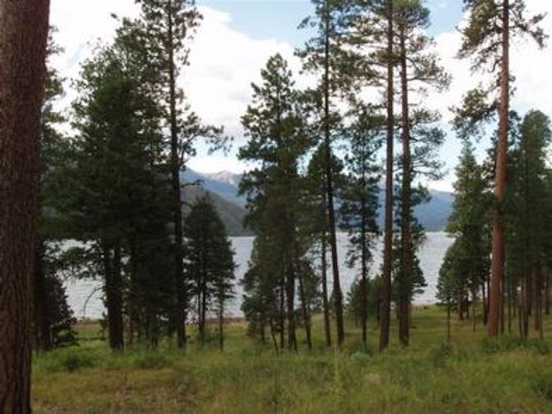
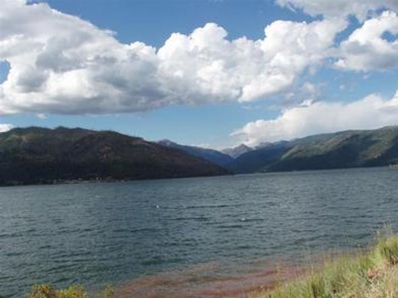
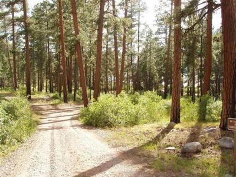
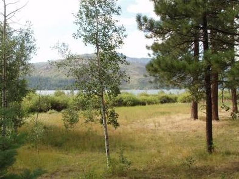
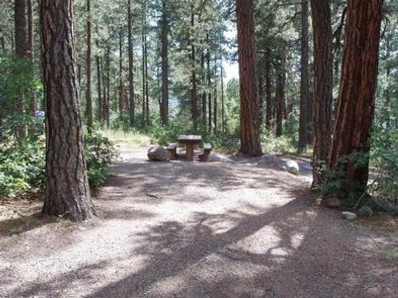
Graham Creek Campground is situated on the east side of Vallecito Reservoir in the San Juan National Forest, offering 25 campsites split between 15 reservable and 10 first-come, first-served. The hillside sites sit about 100 yards from the high-water line at 7,900 feet elevation, with scattered ponderosa pines providing partial shade and thick understory vegetation ensuring privacy between sites. Willow thickets separate the camping area from the lakeshore, with short trails providing foot access to the water. Vallecito Lake is a premier fishing destination for German brown, cutthroat, and rainbow trout, kokanee salmon, and northern pike. The lake also supports boating, water skiing, and canoeing, with boat rentals available at nearby resorts. Trailered boats must use the boat ramp on the west side of the lake after a Colorado Parks and Wildlife inspection, as the old boat ramp at the campground is permanently closed. North Canyon Trail begins directly across from the campground, leading through ponderosa pine and aspen forests with a shorter spur to a scenic lake overlook. East Creek Trail starts a quarter-mile up Forest Road 852 and accesses a lightly used drainage popular with fly fishermen pursuing brook trout. Both trails accommodate horseback riders, though horses are not permitted in the campground itself.
Directions
From Bayfield, travel 14 miles north on County Road 501. Turn right on County Road 501A at the fire station, travel over the dam and continue just over 3 miles to the campground on the east side of Vallecito Reservoir. From Durango, travel 17 miles on Florida Road (County Road 240), turn left onto County Road 501 for 4 miles, then slight right onto Forest Road 603 for about 2.2 miles to the campground entrance.
Amenities
| Water | Yes |
| Fires Allowed | Yes |
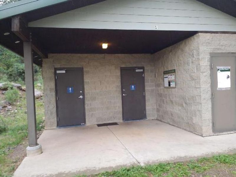
| Toilets | Yes |
| Dump Station | — |
| Wifi | No |
| Pets Allowed | Yes |
| Showers | No |
| Electric Hookups | — |
| Water Hookups | — |
| Sewer Hookups | — |
| Camp Store | No |
| Price | $32 |
Vehicle
| Max RV Length | 60ft |
| Max Trailer Length | 60ft |
| Big Rig Friendly | No |
| Pull Through Sites | No |
Contact
| Trevor@rockymountainrec.com | |
| Phone | +1 (970) 884-2512 |
Cell Service
| AT&T | Yes |
| Verizon | Yes |
| T-Mobile | None |
Availability
Photos
Community Posts
No posts yet. Be the first to share your experience!