Pine Point
Open for the 2026 season with both reservable and first-come, first-served sites available. The campground operates May through September. Fifteen sites are reservable via Recreation.gov; 13 sites are first-come, first-served only.
Special Weather Statement issued July 20 at 6:03PM MDT by NWS Grand Junction CO
At 602 PM MDT, Doppler radar was tracking a strong thunderstorm 7 miles southwest of Sawpit, or 39 miles south of Montrose, moving west at 20 mph. HAZARD...Wind gusts up to 40 mph and nickel size hail. SOURCE...Radar indicated. IMPACT...Gusty winds could knock down tree limbs and blow around unsecured objects. Minor hail damage to vegetation and outdoor objects is possible. This storm will remain over mainly rural areas of central San Miguel County.
Wheeled Vehicles in Wilderness
This order describes the prohibition of wheeled vehicles in all National Forest Wilderness Areas of the Rocky Mountain Region and any exceptions thereof.
Weed Free Forage Products
The purpose of this Order is to prevent the introduction or spread of noxious weeds.
About
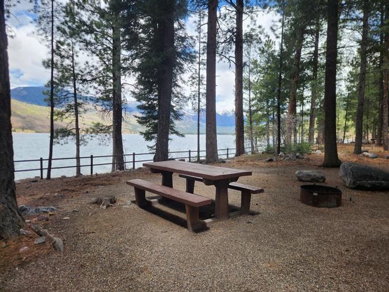
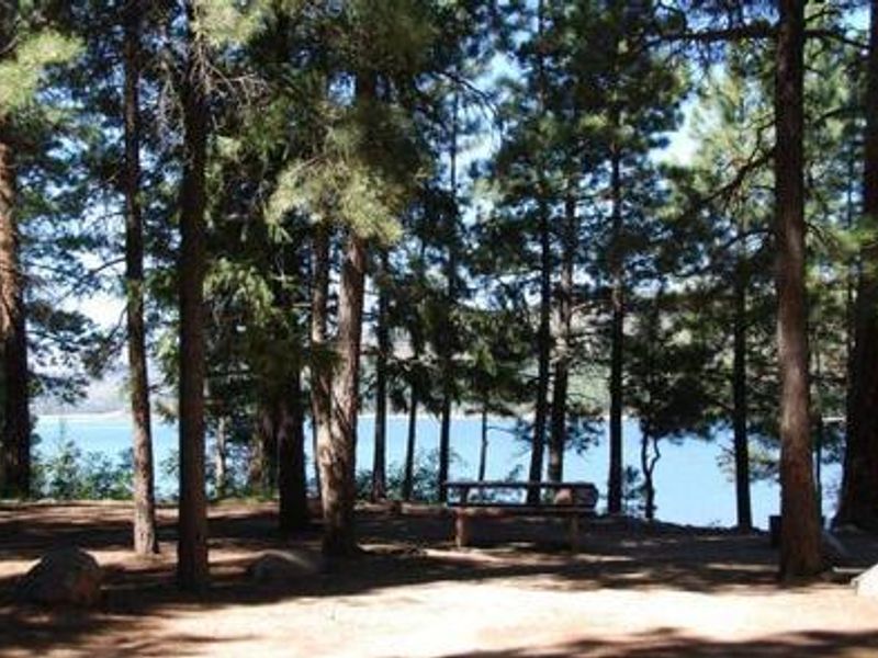
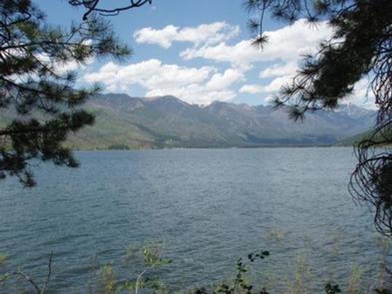
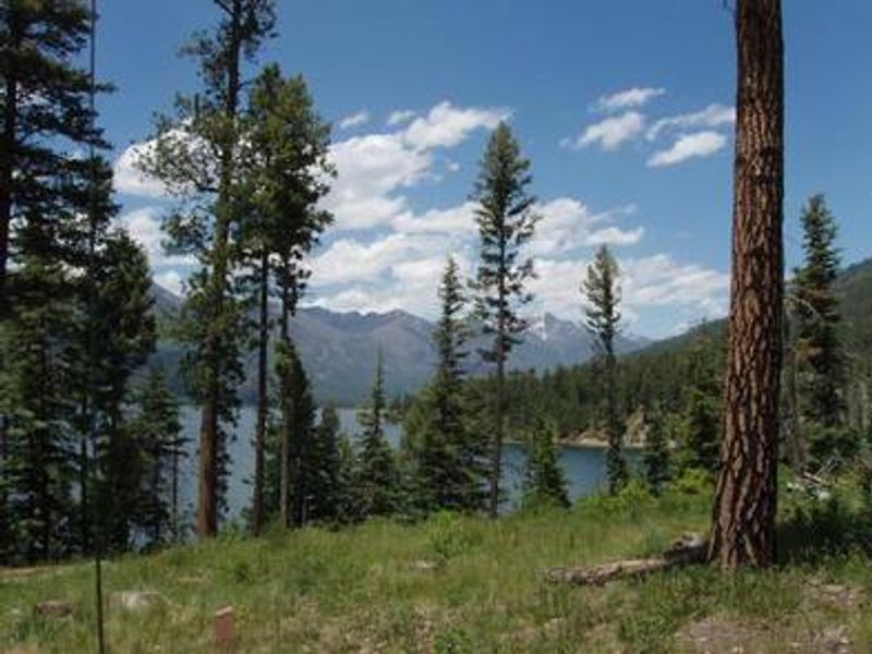
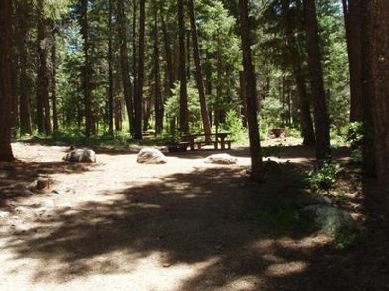
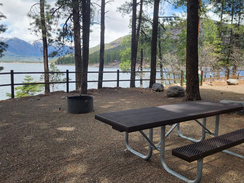
Pine Point Campground occupies a scenic stretch of shoreline on Vallecito Reservoir in southwestern Colorado's San Juan National Forest. At 7,900 feet elevation, the campground sits beneath a canopy of ponderosa pines with views of the San Juan Mountains' high peaks to the northwest. The 28 sites range from lakefront spots with easy water access to more secluded forest settings. Vallecito Reservoir is a premier fishing destination stocked with German brown trout, cutthroat trout, rainbow trout, kokanee salmon, and northern pike. Boating, water skiing, and canoeing are popular activities, though the campground's shoreline is not well-protected for mooring. A sheltered boat area and open play area are located just south of the campground. Hiking and horseback riding trails abound in the surrounding area. The North Canyon Trail climbs through ponderosa pine and aspen forests with a side trail to a scenic lake overlook. East Creek Trail provides access to a lightly used drainage where fly-fishers target brook trout. Bear-safe food storage is recommended throughout the area.
Directions
From Bayfield, CO: Travel 14 miles north on County Road 501, then about 3 miles northeast on Forest Road 603 to the campground entrance on the east side of Vallecito Reservoir. From Durango, CO: Travel 17 miles on Florida Road (County Road 240), turn left onto County Road 501 for 4 miles, then slight right onto Forest Road 603 for about 3 miles to the campground.
Amenities
| Water | Yes |
| Fires Allowed | Yes |
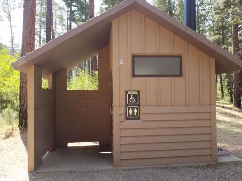
| Toilets | Yes |
| Dump Station | — |
| Wifi | No |
| Pets Allowed | Yes |
| Showers | No |
| Electric Hookups | — |
| Water Hookups | — |
| Sewer Hookups | — |
| Camp Store | No |
| Price | $31 |
Vehicle
| Max RV Length | 45ft |
| Max Trailer Length | 45ft |
| Big Rig Friendly | Yes |
| Pull Through Sites | No |
Contact
| Phone | +1 (970) 884-2512 |
Cell Service
| AT&T | Yes |
| Verizon | Yes |
| T-Mobile | None |
Availability
Photos
Community Posts
No posts yet. Be the first to share your experience!