Bridge
Open for the season on a first-come, first-served basis. Operating season runs May through September. Quiet hours 10pm to 6am. Generator use limited to one hour at a time.
Hydrologic Outlook issued October 9 at 10:53AM MDT by NWS Grand Junction CO
ESFGJT A strong low pressure system off the Pacific Coast will begin to draw in tropical moisture associated with Topical Storm Rachel this weekend. This strong southerly fetch will draw anomalously high moisture content across the Desert Southwest and into eastern Utah and western Colorado. The chance for widespread precipitation increases Saturday evening into Sunday. Total precipitation forecasts range from 1 to 3 inches across high terrain, with highest amounts favoring the Uintas, Tavaputs and the Southwest San Juan mountains. Embedded thunderstorms are also possible Sunday afternoon, increasing the threat for flash flooding across vulnerable terrain. While confidence in location and rainfall rates remain low at this time, the potential for rapidly rising rivers, streams, normally dry arroyos and slot canyons are possible Sunday through Monday. Please follow the evolving forecast, especially if your plans including recreating or commuting across eastern Utah and western Colorado Sunday onward. Also, keep in mind weather potential above your location and upstream, particularly for those who reside below sensitive terrain like recent burn scars.
Wheeled Vehicles in Wilderness
This order describes the prohibition of wheeled vehicles in all National Forest Wilderness Areas of the Rocky Mountain Region and any exceptions thereof.
Weed Free Forage Products
The purpose of this Order is to prevent the introduction or spread of noxious weeds.
About
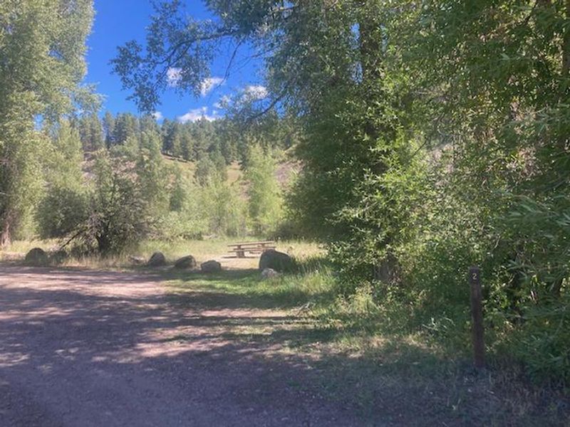
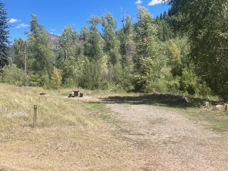
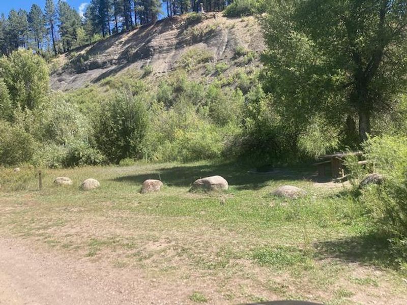
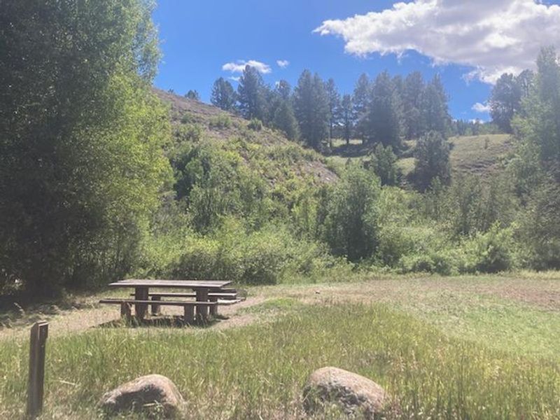
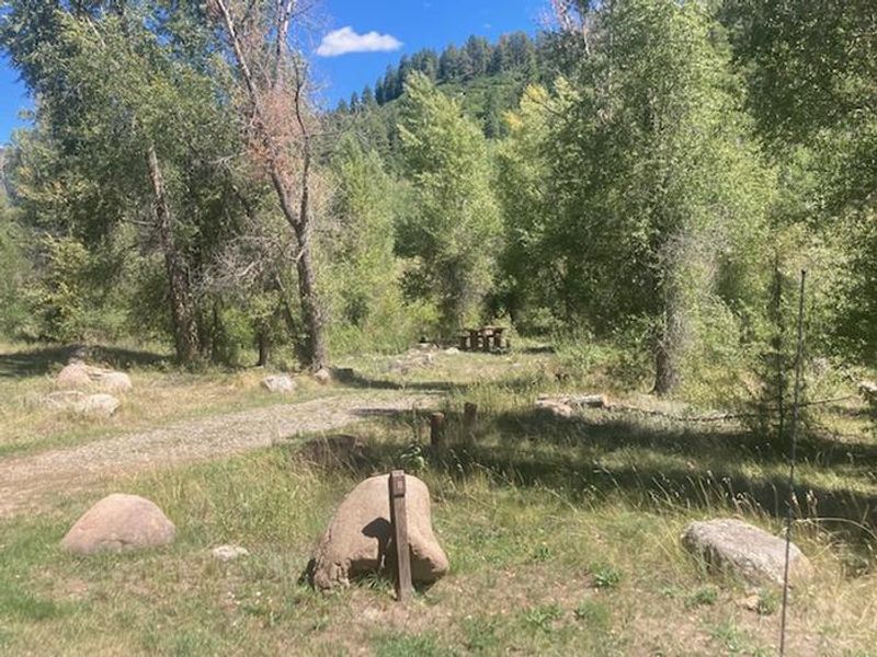
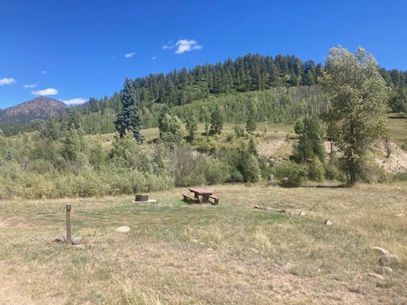
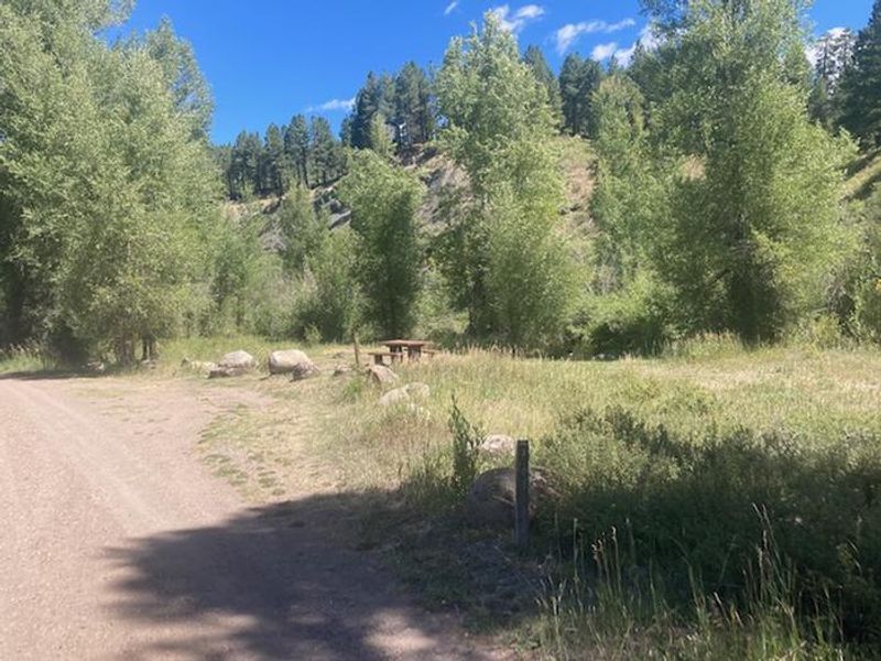
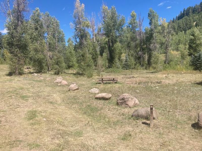
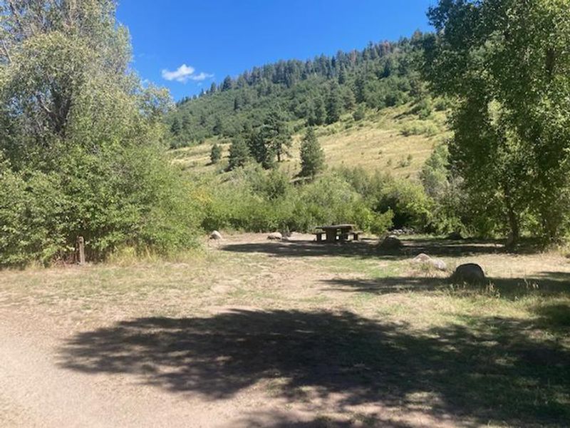
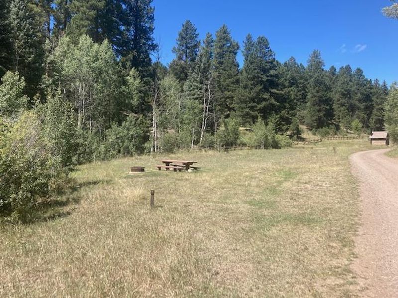
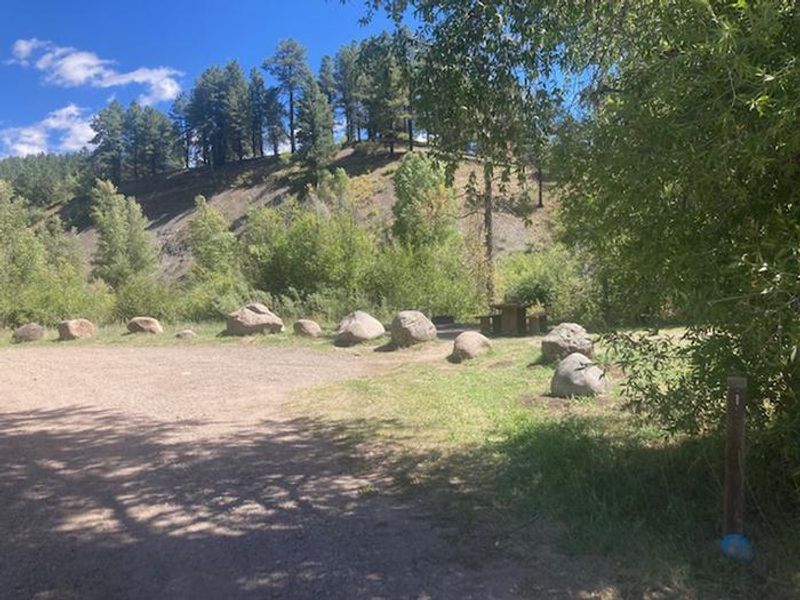
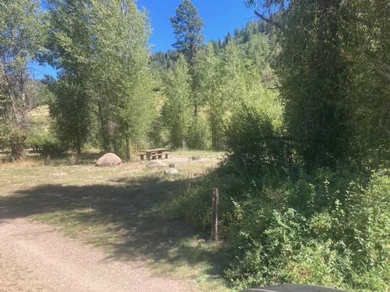
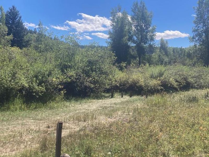
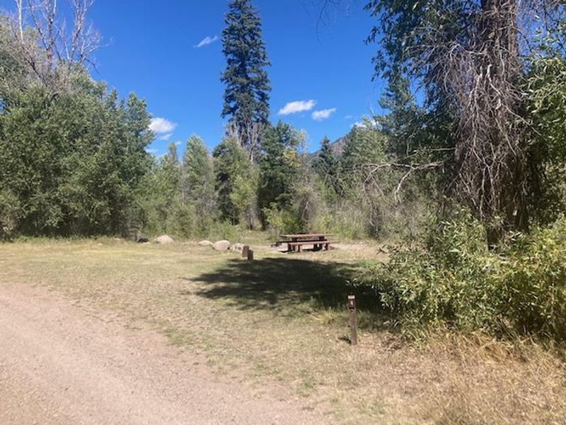
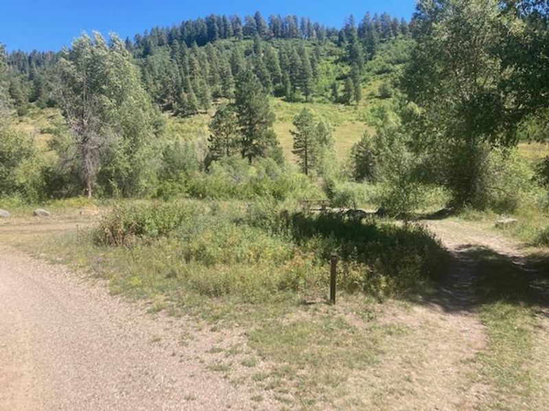
Bridge Campground is located in the San Juan National Forest, approximately 20 miles northwest of Pagosa Springs via Piedra Road (FR 631). The campground features 19 sites in a flat, open setting with many large sites offering views of the high peaks to the north. All sites are first-come, first-served with no advance reservations available. The campground provides basic amenities including potable water and three vault toilets. Dogs are allowed but must be leashed or physically restrained at all times. Horses and pack animals are prohibited inside the campground. Maximum occupancy is 8 people per site, and RVs up to 35 feet can be accommodated. All vehicles must fit within designated parking spurs as no overflow parking is available. The surrounding area offers excellent recreational opportunities. Nearby streams provide fishing, and the area is popular for hunting. Several trails located a few miles away access the Weminuche Wilderness and Piedra Area for hiking and backpacking.
Directions
From Pagosa Springs, CO: Travel 2.0 miles west on U.S. Hwy 160, then turn northwest on Piedra Road (FR 631) for 18.0 miles. Piedra Road is open year-round and suitable for most vehicles.
Location
Amenities
| Water | Yes |
| Fires Allowed | — |
| Toilets | Yes |
| Dump Station | — |
| Wifi | No |
| Pets Allowed | Yes |
| Showers | — |
| Electric Hookups | — |
| Water Hookups | — |
| Sewer Hookups | — |
| Camp Store | No |
| Price | $28 |
Vehicle
| Max RV Length | 35ft |
| Max Trailer Length | — |
| Big Rig Friendly | No |
| Pull Through Sites | No |
Contact
| SM.FS.PagosaRD@usda.gov | |
| Phone | +1 (970) 264-2268 |
Cell Service
| AT&T | None |
| Verizon | None |
| T-Mobile | None |
Useful Links
| View on Recreation.gov | |
| USFS - Bridge Campground |
Availability
Photos
Community Posts
No posts yet. Be the first to share your experience!