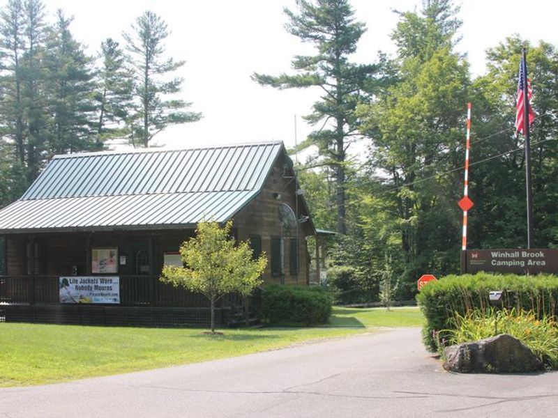
Winhall Brook
Currently closed due to ongoing construction following major flood damage in July 2023. Reservations for the 2026 season are unavailable. The campground is committed to reopening and will announce a date when determined.
From Recreation.gov
Due to ongoing construction, reservations for the 2026 recreation season are currently unavailable. We are committed to the reopening of the Winhall Brook Camping Area, and will open reservations when we determine an opening date. Thank you for your patience.
About
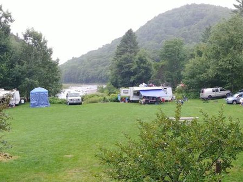
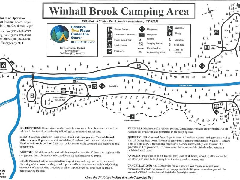
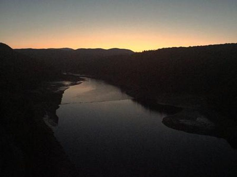
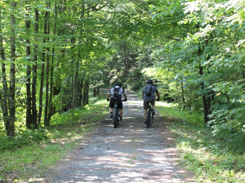
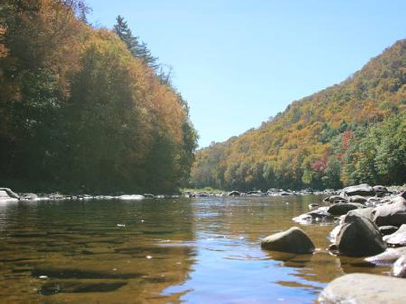
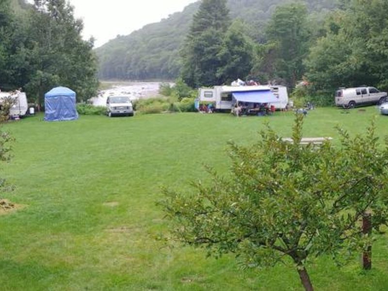
Winhall Brook Camping Area is nestled in the Green Mountains of Vermont along Winhall Brook and the West River, seven miles from Ball Mountain Lake. The campground sits among broad grassy meadows surrounded by heavily wooded northern hardwood forest, providing outstanding fall color and diverse wildlife habitat including moose, white-tailed deer, black bear, bald eagles, and various songbirds. The campground offers 111 campsites within North and South camping areas, separated by the Winhall River and connected by a one-lane bridge with a 42-foot length limit and 16-ton weight restriction. Site options include 74 standard non-electric sites, 14 sites with lean-to shelters, and 23 sites with water and 50-amp electric hookups. Three restroom facilities provide flush toilets, showers, drinking water, and dish washing stations. Dump stations are available on both sides of the campground. Recreation opportunities abound with fishing for brook, rainbow, and brown trout in the West River and Winhall Brook. The 16-mile West River Trail connects to nearby villages and offers hiking, biking, and cross-country skiing. Ball Mountain Lake provides boating, fishing, and scenic overlooks. Whitewater releases from the dam create rafting and kayaking opportunities the first weekend of May and last weekend of September.
Directions
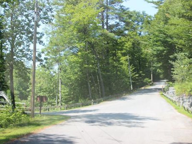
From Brattleboro, Vermont, travel 30 miles north on Route 30. Turn north onto Route 100 and continue for 2.5 miles. Turn onto Winhall Station Road and follow for a mile to the campground. From Manchester, Vermont, travel 5 miles east on Route 11. Turn right onto Route 30 S and continue for 9 miles. Turn left onto Route 100 N and continue for 2.5 miles. Turn right onto Winhall Station Road and follow for a mile to the campground.
Amenities
| Water | Yes |
| Fires Allowed | Yes |
| Toilets | Yes |
| Dump Station | Yes |
| Wifi | — |
| Pets Allowed | Yes |
| Showers | Yes |
| Electric Hookups | Yes |
| Water Hookups | Yes |
| Sewer Hookups | No |
| Camp Store | — |
| Price | $24 - $30 |
Vehicle
| Max RV Length | 60ft |
| Max Trailer Length | 60ft |
| Big Rig Friendly | No |
| Pull Through Sites | No |
Contact
| Phone | +1 (802) 824-4570 |
Cell Service
| AT&T | Yes |
| Verizon | Yes |
| T-Mobile | Yes |
Availability
Photos
Community Posts
No posts yet. Be the first to share your experience!