Willow Beach
Open year-round. Park gates open 6:00 AM to 10:00 PM daily. Reservations available through Recreation.gov.
Extreme Heat Warning issued July 21 at 1:28PM CDT until July 21 at 9:00PM CDT by NWS Little Rock AR
* WHAT...Dangerously hot conditions with heat index values up to 116. * WHERE...Portions of central, eastern, north central, southeast, southwest, and western Arkansas. * WHEN...Until 9 PM CDT this evening. * IMPACTS...Heat related illnesses increase significantly during extreme heat and high humidity events.
About
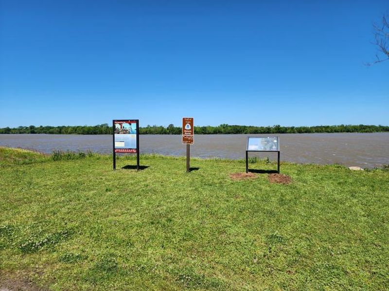
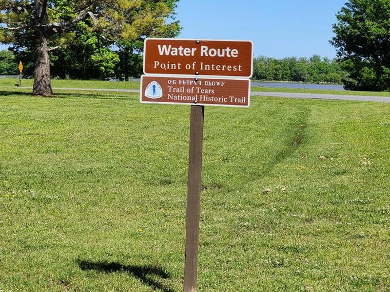
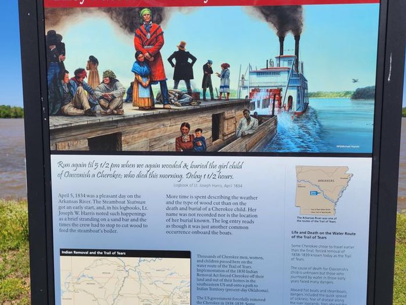
Willow Beach Campground is a US Army Corps of Engineers recreation area located along the Arkansas River near the David D. Terry Lock and Dam in Pulaski County, Arkansas. The campground occupies a scenic position on a narrow peninsula between the river and Willow Lake, with water views from most of the 21 sites. The forested setting provides shade and opportunities to spot wildlife including red fox, deer, and armadillo. All campsites feature paved surfaces that can accommodate RVs up to 60+ feet, with electric service (20, 30, and 50 amp) and water hookups at every site. Each site includes a covered picnic table and fire ring. Campground amenities include hot showers, a dump station, boat ramp, and playground. Three group picnic shelters are also available for day-use reservations. The location near the lock and dam creates excellent fishing opportunities in the tailwaters and old river cutoffs, with bass, crappie, bream, and catfish commonly caught. Little Rock is just minutes away for supplies, groceries, and restaurants.
Directions
From Little Rock, Arkansas, take U.S. Highway 165 east for 2.5 miles. Turn right on Colonel Manard Road and continue for three miles. Turn right again onto Blue Heron Parkway and follow signs to Willow Beach Park.
Amenities
| Water | Yes |
| Fires Allowed | Yes |
| Toilets | Yes |
| Dump Station | Yes |
| Wifi | — |
| Pets Allowed | Yes |
| Showers | Yes |
| Electric Hookups | Yes |
| Water Hookups | Yes |
| Sewer Hookups | No |
| Camp Store | — |
| Price | $26 - $75 |
Vehicle
| Max RV Length | 84ft |
| Max Trailer Length | 84ft |
| Big Rig Friendly | Yes |
| Pull Through Sites | No |
Contact
| Phone | +1 (501) 961-1332 |
Cell Service
| AT&T | Yes |
| Verizon | Yes |
| T-Mobile | Yes |
Availability
Photos
Community Posts
No posts yet. Be the first to share your experience!