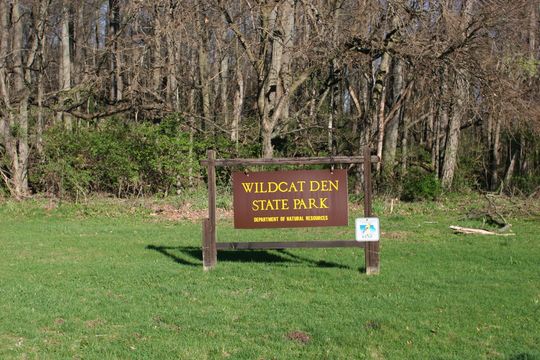
Wildcat Den State Park
Open for the 2026 camping season from April 1 through October 31. All campsites are reservable; no walk-up sites available. The Cave Trail from the Lower Picnic Area to State Park Road remains closed for repairs. Peak season rates apply May 1 through October 15.
About
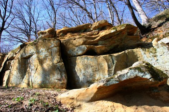
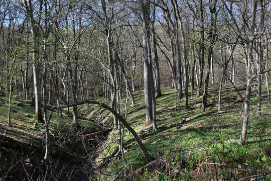
Wildcat Den State Park campground provides a rustic camping experience in one of Iowa's most geologically interesting parks. Located 12 miles east of Muscatine along the bluffs above the Mississippi River valley, the campground features 20 standard non-electric sites with 32-foot back-in driveways, plus a youth group site accommodating up to 25 people. The primitive setting means no electrical hookups or showers, but vault toilets and water hydrants are available throughout the season. The park's real draw is its striking landscape of weathered sandstone formations, deep ravines, and dense forest. Trails wind through varied terrain to geological features including Steamboat Rock, Fat Man's Squeeze, and the Devil's Punch Bowl. The historic Pine Creek Grist Mill, dating to 1848 and still operational, offers tours from May through early October. The combination of natural beauty and historical significance makes this an excellent destination for campers seeking more than just a place to pitch a tent.
Directions
From Muscatine, travel 12 miles east on Highway 22 to Wildcat Den Road. Turn north and follow signs to the park entrance at 1884 Wildcat Den Road.
Amenities
| Water | Yes |
| Fires Allowed | Yes |
| Toilets | Yes |
| Dump Station | No |
| Wifi | — |
| Pets Allowed | Yes |
| Showers | No |
| Electric Hookups | — |
| Water Hookups | — |
| Sewer Hookups | — |
| Camp Store | — |
| Price | $14 - $35 |
Vehicle
| Max RV Length | 32ft |
| Max Trailer Length | 32ft |
| Big Rig Friendly | No |
| Pull Through Sites | No |
Contact
| Wildcat_Den@dnr.iowa.gov | |
| Phone | +1 (563) 263-4337 |
Cell Service
| AT&T | None |
| Verizon | None |
| T-Mobile | None |
Availability
Photos
Community Posts
No posts yet. Be the first to share your experience!