Clarks Ferry
Open for the 2026 season. Operates May 1 through the third Sunday in October. Reservations required via Recreation.gov.
Flood Watch issued June 11 at 10:10AM CDT until June 11 at 7:00PM CDT by NWS Quad Cities IA IL
Several rounds of heavy rain producing thunderstorms will be seen across the watch area. Storms may redevelop over the same areas resulting torrential rainfall and possibly several inches of rain. Flash flooding will be possible through this evening. * WHAT...Flooding caused by excessive rainfall continues to be possible. * WHERE...Portions of Illinois, including the following areas, Bureau, Carroll, Hancock, Henderson, Henry IL, Jo Daviess, McDonough, Mercer, Putnam, Rock Island, Stephenson, Warren and Whiteside, Iowa, including the following areas, Benton, Buchanan, Cedar, Clinton, Delaware, Des Moines, Dubuque, Henry IA, Iowa, Jackson, Jefferson, Johnson, Jones, Keokuk, Lee, Linn, Louisa, Muscatine, Scott, Van Buren and Washington, and northeast Missouri, including the following areas, Clark and Scotland. * WHEN...Until 7 PM CDT this evening. * IMPACTS...Excessive runoff may result in flooding of rivers, creeks, streams, and other low-lying and flood-prone locations. Creeks and streams may rise out of their banks.
Flood Warning issued June 11 at 9:52AM CDT until June 15 at 3:00AM CDT by NWS Quad Cities IA IL
...The Flood Warning continues for the following rivers in Iowa... Maquoketa River near Maquoketa affecting Jackson County. Cedar River near Conesville affecting Louisa and Muscatine Counties. Iowa River near Lone Tree affecting Louisa, Washington and Johnson Counties. English River at Kalona affecting Washington and Johnson Counties. Skunk River at Augusta affecting Henry IA, Des Moines and Lee Counties. Wapsipinicon River near De Witt 4S affecting Scott and Clinton Counties. ...The Flood Warning is extended for the following rivers in Illinois... Rock River near Joslin affecting Henry IL, Rock Island and Whiteside Counties. Rock River at Moline affecting Henry IL and Rock Island Counties. .Several rounds of heavy rainfall will produce flooding on several tributary rivers. * WHAT...Minor flooding is forecast. * WHERE...Cedar River near Conesville. * WHEN...From late Saturday night to early Monday morning. * IMPACTS...At 13.0 feet, Water affects Edgewater Road and 245th Street near Conesville. * ADDITIONAL DETAILS... - At 9:00 AM CDT Thursday the stage was 11.6 feet. - Forecast...The river will rise to 12.6 feet tomorrow morning. It will then fall to 12.4 feet early Saturday morning. It will rise above flood stage early Sunday morning to 13.2 feet early Sunday afternoon. It will then fall below flood stage Sunday evening. - Flood stage is 13.0 feet.
Tornado Watch issued June 11 at 7:33AM CDT until June 11 at 3:00PM CDT by NWS Quad Cities IA IL
THE NATIONAL WEATHER SERVICE HAS ISSUED TORNADO WATCH 311 IN EFFECT UNTIL 3 PM CDT THIS AFTERNOON FOR THE FOLLOWING AREAS IN ILLINOIS THIS WATCH INCLUDES 13 COUNTIES IN NORTH CENTRAL ILLINOIS BUREAU PUTNAM IN NORTHWEST ILLINOIS CARROLL HENRY IL JO DAVIESS MERCER ROCK ISLAND STEPHENSON WHITESIDE IN WEST CENTRAL ILLINOIS HANCOCK HENDERSON MCDONOUGH WARREN IN IOWA THIS WATCH INCLUDES 21 COUNTIES IN EAST CENTRAL IOWA BENTON CEDAR CLINTON IOWA JACKSON JOHNSON JONES LINN MUSCATINE SCOTT IN NORTHEAST IOWA BUCHANAN DELAWARE DUBUQUE IN SOUTHEAST IOWA DES MOINES HENRY IA JEFFERSON KEOKUK LEE LOUISA VAN BUREN WASHINGTON IN MISSOURI THIS WATCH INCLUDES 2 COUNTIES IN NORTHEAST MISSOURI CLARK SCOTLAND THIS INCLUDES THE CITIES OF ALEDO, ANAMOSA, BETTENDORF, BURLINGTON, CARTHAGE, CEDAR RAPIDS, CLINTON, CREDIT ISLAND, DAVENPORT, DUBUQUE, FAIRFIELD, FREEPORT, GALENA, GENESEO, HENNEPIN, INDEPENDENCE, IOWA CITY, KAHOKA, KEOKUK, KEOSAUQUA, MACOMB, MANCHESTER, MAQUOKETA, MARENGO, MEMPHIS, MOLINE, MONMOUTH, MOUNT CARROLL, MOUNT PLEASANT, MUSCATINE, OQUAWKA, PRINCETON, ROCK ISLAND, SIGOURNEY, STERLING, TIPTON, VINTON, WAPELLO, AND WASHINGTON.
About
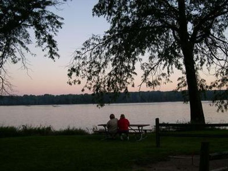
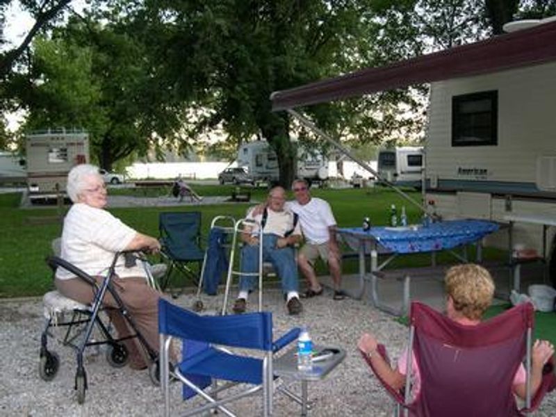
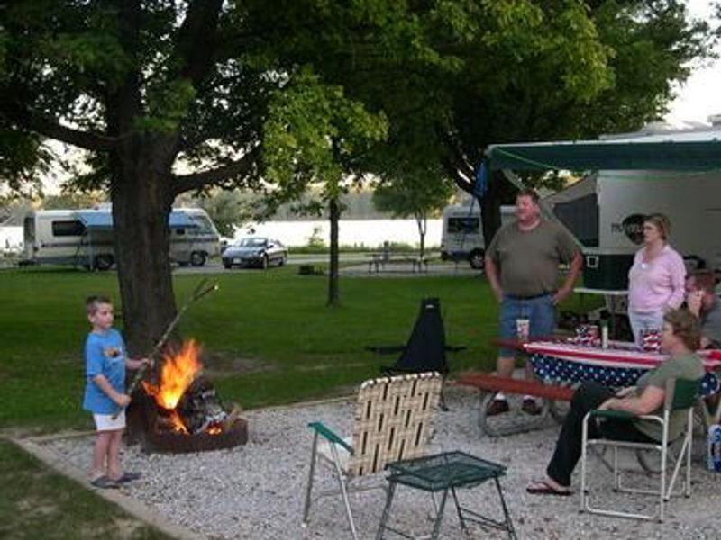
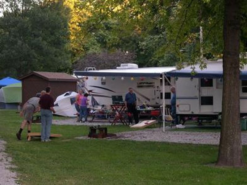
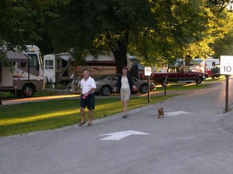
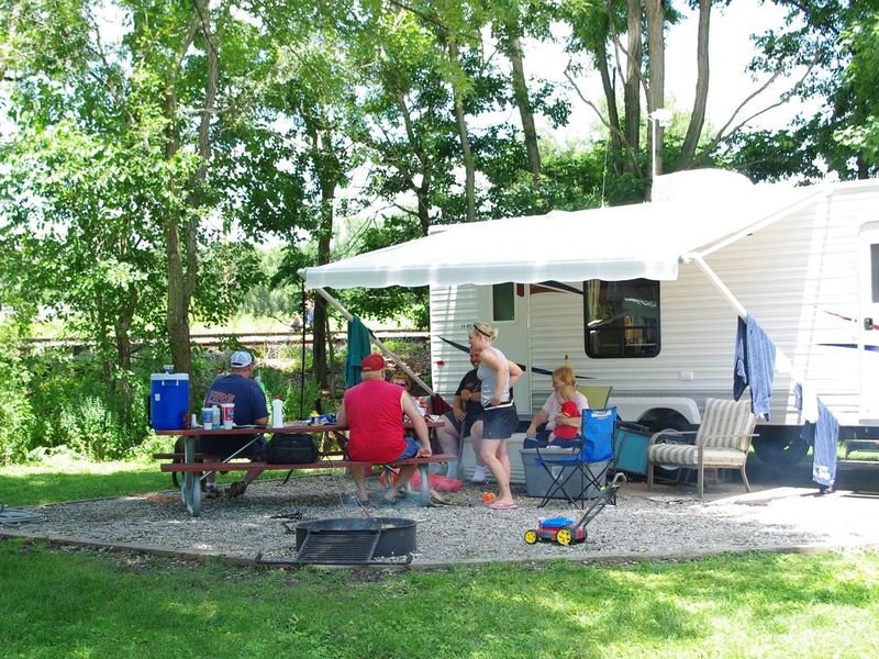
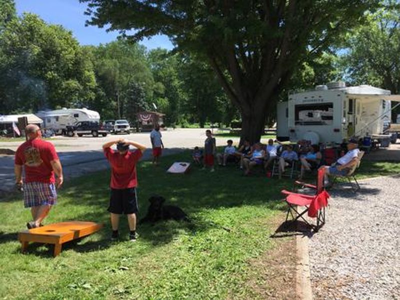
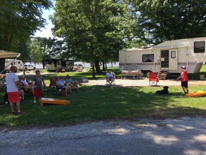
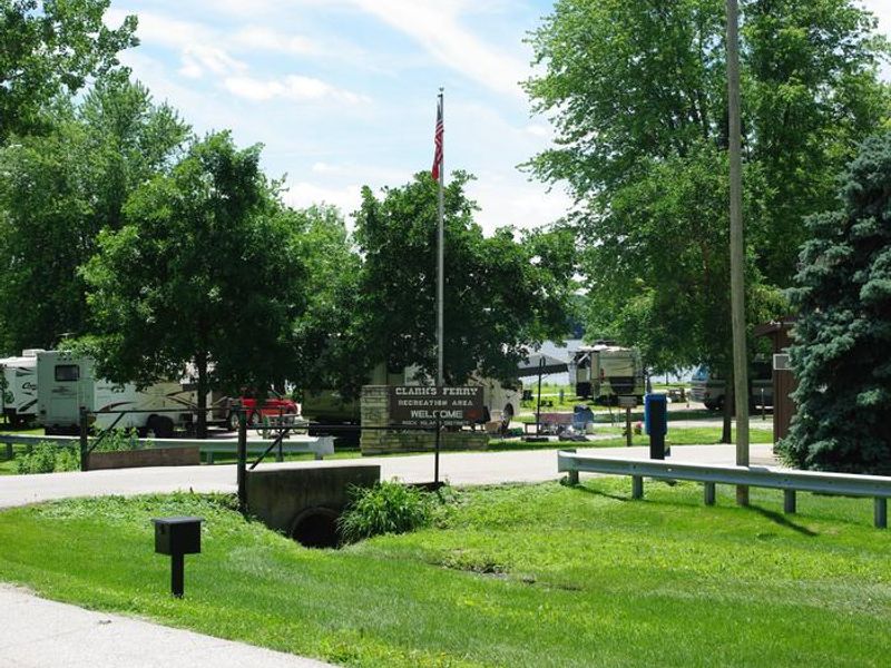
Clarks Ferry Recreation Area is a well-maintained campground operated by the U.S. Army Corps of Engineers along the scenic Iowa banks of the Upper Mississippi River. The 11-acre facility sits among large mature trees and provides direct access to one of the most productive fishing stretches of the river, drawing anglers seeking channel catfish, bluegill, walleye, crappie, and northern pike. All 45 campsites rest on concrete pads with 50-amp electrical service, picnic tables, and fire rings. The campground includes a boat ramp with day-use access, an accessible fishing dock, dump station, and picnic shelter available for reservation. Two playgrounds, horseshoe pits, and a volleyball court round out the recreational amenities. Located just east of Muscatine via Highway 22, the campground offers easy access to nearby attractions including Shady Creek Recreation Area and Wildcat Den State Park. Reservations are handled through Recreation.gov.
Directions
From Davenport, Iowa, drive west on Hwy 22 about 15 miles and turn at Clark's Ferry Sign in Montpelier.
Amenities
| Water | — |
| Fires Allowed | Yes |
| Toilets | Yes |
| Dump Station | Yes |
| Wifi | — |
| Pets Allowed | Yes |
| Showers | — |
| Electric Hookups | Yes |
| Water Hookups | No |
| Sewer Hookups | No |
| Camp Store | — |
| Price | $25 - $26 |
Vehicle
| Max RV Length | 43ft |
| Max Trailer Length | 43ft |
| Big Rig Friendly | Yes |
| Pull Through Sites | No |
Contact
| Phone | +1 (563) 419-7594 |
Cell Service
| AT&T | Yes |
| Verizon | Yes |
| T-Mobile | None |
Availability
Photos
Community Posts
No posts yet. Be the first to share your experience!