Shady Creek
Open for camping from May 1 through the third Sunday in October. Reservations available via Recreation.gov. Check-in is 2:00 PM and check-out is 12:00 PM. Fee booth hours are 5-8 PM daily, with additional hours 9-11 AM on Fridays through Sundays and holiday weekends.
Flash Flood Warning issued September 20 at 2:40AM CDT until September 20 at 7:30AM CDT by NWS Quad Cities IA IL
At 240 AM CDT, Doppler radar indicated thunderstorms producing heavy rain moving back across the warned area. Between 1 and 2 inches of rain has already fallen from earlier activity. Additional rainfall amounts of 1 to 3 inches are possible in the warned area over the next few hours. Flash flooding is ongoing or expected to begin shortly. HAZARD...Flash flooding caused by thunderstorms. SOURCE...Radar indicated. IMPACT...Flash flooding of small creeks and streams, urban areas, highways, streets and underpasses as well as other poor drainage and low-lying areas. Some locations that will experience flash flooding include... Davenport, Moline, Rock Island, Bettendorf, Muscatine, East Moline, Kewanee, Aledo, Cambridge, Silvis, Geneseo, Eldridge, Colona, Milan, Le Claire, Coal Valley and Galva. This includes the following State Parks... Big Bend Fish and Wildlife Area, Johnson-Sauk Trail State Recreation Area and Prophetstown State Park. This includes the following highways... Interstate 74 in Iowa between mile markers 1 and 5. Interstate 280 between mile markers 1 and 18. Interstate 80 in Iowa between mile markers 279 and 306. Interstate 80 in Illinois between mile markers 1 and 43. Interstate 74 in Illinois between mile markers 1 and 33. Interstate 88 between mile markers 1 and 32...and between mile markers 36 and 43.
Flash Flood Warning issued September 20 at 1:45AM CDT until September 20 at 6:15AM CDT by NWS Quad Cities IA IL
At 145 AM CDT, Trained weather spotters reported the creek in Kalona, Iowa is out of its banks and still rising. Between 1 and 2 inches of rain have fallen. Additional rainfall amounts of 1 to 3 inches are possible in the warned area as additional storms move through the area. HAZARD...Flash flooding caused by thunderstorms. SOURCE...Trained spotters reported. IMPACT...Flash flooding of small creeks and streams, urban areas, highways, streets and underpasses as well as other poor drainage and low-lying areas. Some locations that will experience flash flooding include... Iowa City, Muscatine, Washington, Tipton, Marengo, West Branch, Sigourney, Columbus Junction, Durant, Coralville, North Liberty, West Liberty, Williamsburg, Wilton, Kalona, Tiffin, Wellman, Lone Tree and University Heights. This includes the following highways... Interstate 80 in Iowa between mile markers 205 and 277. Interstate 380 between mile markers 1 and 7.
Flood Watch issued September 20 at 1:44AM CDT until September 20 at 1:00PM CDT by NWS Quad Cities IA IL
* WHAT...Flooding and flash flooding caused by excessive rainfall is possible. * WHERE...Portions of Illinois, including the following areas, Bureau, Carroll, Henry IL, Jo Daviess, Mercer, Putnam, Rock Island, Stephenson and Whiteside and Iowa, including the following areas, Benton, Buchanan, Cedar, Clinton, Delaware, Dubuque, Iowa, Jackson, Johnson, Jones, Keokuk, Linn, Louisa, Muscatine, Scott and Washington. * WHEN...Until 1 PM CDT this afternoon. * IMPACTS...Excessive runoff may result in flooding of rivers, creeks, streams, and other low-lying and flood-prone locations. Flooding may occur in poor drainage and urban areas. * ADDITIONAL DETAILS... - Widespread showers and storms will continue to move across the watch area through at least late Sunday morning. These storms will be capable of rainfall rates between 1 to 2 inches per hour. Rainfall totals of 1 to 3 inches are likely in the hardest hit areas, with the potential for localized areas of 4 to 5 inches.
About
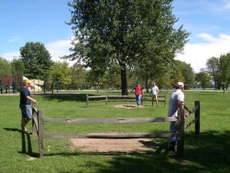
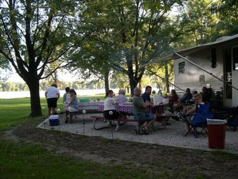
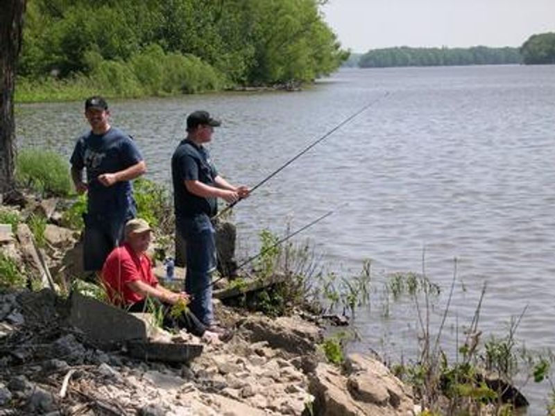
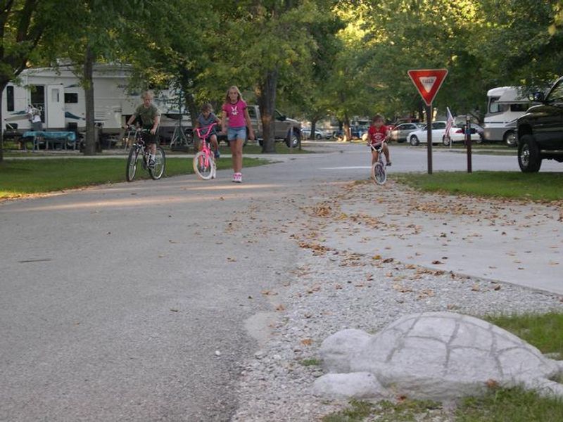
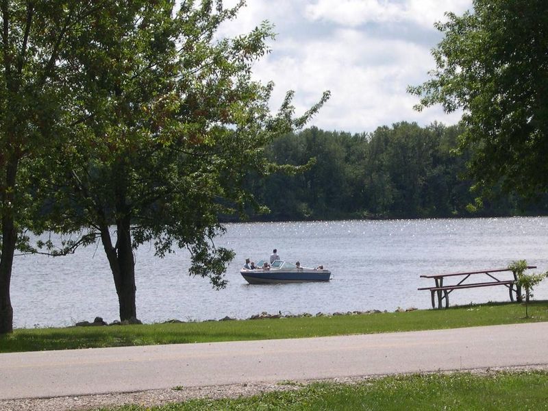
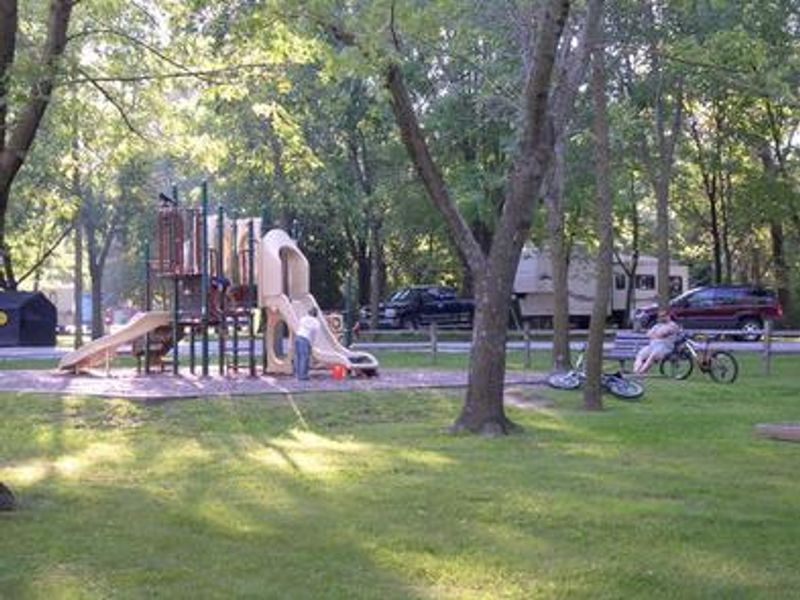
Shady Creek Campground occupies a scenic 22-acre setting along the Mississippi River near Muscatine, Iowa, managed by the U.S. Army Corps of Engineers. The campground provides 55 total sites: 51 standard electric sites featuring level concrete pads with 30/50-amp electrical and water hookups, 2 tent-only primitive sites in the Downriver Loop, and a group shelter. Each campsite includes a picnic table and campfire ring. Modern facilities include flush toilets, hot showers, and an on-site dump station. Recreation opportunities abound at Shady Creek. The Mississippi River offers excellent shore fishing for channel catfish, bluegill, walleye, and northern pike, with a boat ramp providing main channel access. A nature trail beginning near campsite #23 winds through restored prairie habitat, making this an ideal spot for bird watching along the globally significant Mississippi Flyway. A playground and horseshoe pits round out the amenities. The campground features mature shade trees throughout and offers interpretive campfire programs during the recreation season. Firewood is available for purchase in the park. Wildcat Den State Park lies just north, offering additional hiking trails and the historic Pine Creek Grist Mill built in 1848.
Directions
From Davenport, Iowa, drive west on Highway 22 (Great River Road) about 17 miles and turn at the Shady Creek sign. The main entrance is across railroad tracks just off Highway 22.
Amenities
| Water | Yes |
| Fires Allowed | Yes |
| Toilets | Yes |
| Dump Station | Yes |
| Wifi | — |
| Pets Allowed | Yes |
| Showers | Yes |
| Electric Hookups | Yes |
| Water Hookups | Yes |
| Sewer Hookups | No |
| Camp Store | No |
| Price | $14 - $26 |
Vehicle
| Max RV Length | 92ft |
| Max Trailer Length | — |
| Big Rig Friendly | Yes |
| Pull Through Sites | No |
Contact
| mvrodmn16@usace.army.mil | |
| Phone | +1 (563) 263-7913 |
Cell Service
| AT&T | Yes |
| Verizon | Yes |
| T-Mobile | None |
Availability
Photos
Community Posts
No posts yet. Be the first to share your experience!