West Fork Madison Campground
Open for the 2026 season. Operates late May through mid-September, weather dependent. First-come, first-served only. A food storage order is in effect requiring bear-proof storage of all food and attractants when unattended. 16-day stay limit.
Winter Weather Advisory issued October 10 at 10:40PM MDT until October 12 at 6:00AM MDT by NWS Great Falls MT
* WHAT...Snow expected. Total snow accumulations of between 2 to 5 inches across lower elevations, with 5 to 8 inches in the mountains. Locally higher amounts possible. Winds gusting as high as 45 mph. * WHERE...Portions of central and southwest Montana. * WHEN...Until 6 AM MDT Monday. * IMPACTS...Travel could be difficult. Gusty winds combined with the wet and heavy nature of the snow could bring down tree branches. Isolated power outages are possible. * ADDITIONAL DETAILS...Snowfall amounts will vary drastically from grassy surfaces to roadways, most notably at lower elevations, with accumulations on non-grassy surfaces being confined mainly to between the evening through late morning hours.
Northern Region Camping & Target Restrictions, Pallet Prohibition
This order defines the maximum length of occupation at a single location or cumulatively at any number of locations within a calendar year, within the states of Montana, North Dakota, South Dakota, and Idaho
Weed Free Forage & Mulch Products Order for the Northern Region
It is illegal to possess, store or transport straw, hay, grain, seed or other forage or mulch products on Forest Service lands without documentation that the product is certified as “weed free” by a state certification process that meets or exceeds the North American Weed Free Forage standards.
About
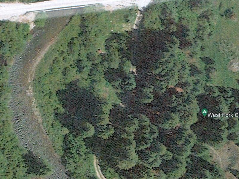
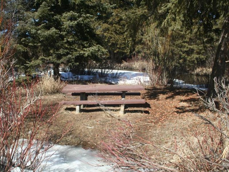
West Fork Madison Campground sits at 6,400 feet elevation along the banks of the West Fork of the Madison River, near its confluence with the main Madison. The campground occupies a shaded grove of old-growth spruce and Douglas fir, creating a cool, densely vegetated setting. The access road divides the seven sites: two lie north of the road while a five-site loop occupies the south side. This is strictly a tent-camping destination. Trailers are not permitted due to the tight, narrow turns and small camp spaces. Each campsite includes a fire ring and picnic table. Potable drinking water is available from a hand pump in the loop, and two vault toilets serve the campground. There is no cell phone coverage. Fishing is the primary draw, with access to both the West Fork and Madison Rivers. The West Fork Road provides access to OHV trails and scenic drives in the Gravelly Mountains, while hiking trails in the Lee Metcalf Wilderness are nearby. Yellowstone National Park's west entrance is less than 40 miles away.
Directions
Located about 34 miles south of Ennis on Highway 287, approximately 9 miles west of the Madison River Canyon Earthquake slide area.
Amenities
| Water | Yes |
| Fires Allowed | Yes |
| Toilets | Yes |
| Dump Station | No |
| Wifi | No |
| Pets Allowed | — |
| Showers | No |
| Electric Hookups | — |
| Water Hookups | — |
| Sewer Hookups | — |
| Camp Store | No |
| Price | $12 |
Vehicle
| Max RV Length | — |
| Max Trailer Length | — |
| Big Rig Friendly | No |
| Pull Through Sites | No |
Contact
| Phone | +1 (406) 682-4253 |
Cell Service
| AT&T | Yes |
| Verizon | Yes |
| T-Mobile | Yes |
Useful Links
| View on Recreation.gov | |
| USFS West Fork Madison Campground |
Availability
Photos

Community Posts
No posts yet. Be the first to share your experience!