Wartrace Ck Rec Area
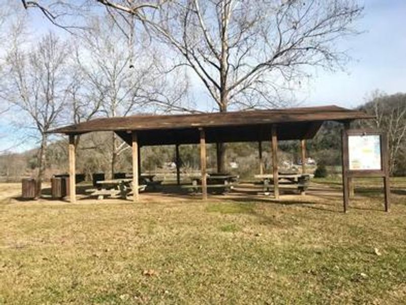
Open for day use only. The group shelter is usable from dawn to dusk; overnight camping is not permitted. $5 per vehicle day-use fee.
Severe Thunderstorm Watch issued July 21 at 8:19PM CDT until July 22 at 12:00AM CDT by NWS Nashville TN
SEVERE THUNDERSTORM WATCH 510 REMAINS VALID UNTIL MIDNIGHT CDT TONIGHT FOR THE FOLLOWING AREAS IN TENNESSEE THIS WATCH INCLUDES 27 COUNTIES IN MIDDLE TENNESSEE CANNON CHEATHAM CLAY CUMBERLAND DAVIDSON DE KALB DICKSON FENTRESS HICKMAN HOUSTON HUMPHREYS JACKSON MACON MONTGOMERY OVERTON PERRY PICKETT PUTNAM ROBERTSON RUTHERFORD SMITH STEWART SUMNER TROUSDALE WHITE WILLIAMSON WILSON THIS INCLUDES THE CITIES OF ALLARDT, ASHLAND CITY, BRENTWOOD, BYRDSTOWN, CARTHAGE, CELINA, CENTERVILLE, CLARKSVILLE, COOKEVILLE, CROSSVILLE, DICKSON, DOVER, ERIN, FRANKLIN, GAINESBORO, GALLATIN, GOODLETTSVILLE, GORDONSVILLE, HARTSVILLE, HENDERSONVILLE, JAMESTOWN, KINGSTON SPRINGS, LA VERGNE, LAFAYETTE, LEBANON, LINDEN, LIVINGSTON, LOBELVILLE, MCEWEN, MOUNT JULIET, MURFREESBORO, NASHVILLE, NEW JOHNSONVILLE, PEGRAM, SMITHVILLE, SMYRNA, SOUTH CARTHAGE, SPARTA, SPRINGFIELD, TENNESSEE RIDGE, WAVERLY, AND WOODBURY.
Severe Thunderstorm Warning issued July 21 at 8:17PM CDT until July 21 at 9:00PM CDT by NWS Nashville TN
SVROHX The National Weather Service in Nashville has issued a * Severe Thunderstorm Warning for... Smith County in Middle Tennessee... Southern Jackson County in Middle Tennessee... Southeastern Macon County in Middle Tennessee... Central Trousdale County in Middle Tennessee... West central Putnam County in Middle Tennessee... * Until 900 PM CDT. * At 817 PM CDT, a severe thunderstorm was located near Hartsville, moving east at 40 mph. HAZARD...70 mph wind gusts. SOURCE...Radar indicated. IMPACT...Expect considerable tree damage. Damage is likely to mobile homes, roofs, and outbuildings. * Locations impacted include... Lafayette, Carthage, Gainesboro, Hartsville, Gordonsville, South Carthage, Dixon Springs, Pleasant Shade, and Granville. This includes Interstate 40 between mile markers 257 and 272.
Flash Flood Warning issued July 21 at 7:14PM CDT until July 21 at 10:15PM CDT by NWS Nashville TN
FFWOHX The National Weather Service in Nashville has issued a * Flash Flood Warning for... Clay County in middle Tennessee... Northern Fentress County in middle Tennessee... Northern Jackson County in middle Tennessee... Northern Overton County in middle Tennessee... Pickett County in middle Tennessee... * Until 1015 PM CDT. * At 714 PM CDT, Doppler radar indicated thunderstorms producing heavy rain across the warned area. Rainfall amounts of 1 to 3 inches are possible in the warned area. Flash flooding is ongoing or expected to begin shortly. HAZARD...Flash flooding caused by thunderstorms. SOURCE...Radar. IMPACT...Flash flooding of small creeks and streams, urban areas, highways, streets and underpasses as well as other poor drainage and low-lying areas. * Some locations that will experience flash flooding include... Livingston, Jamestown, Celina, Byrdstown, Allardt, Dale Hollow Lake, Standing Stone State Park, Pall Mall, Moss, Whitleyville and Pickett State Park.
About
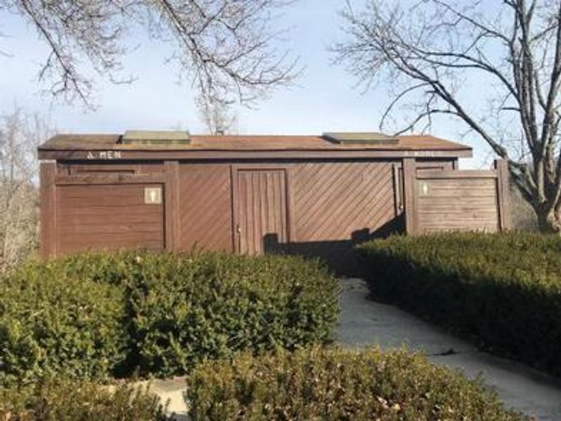
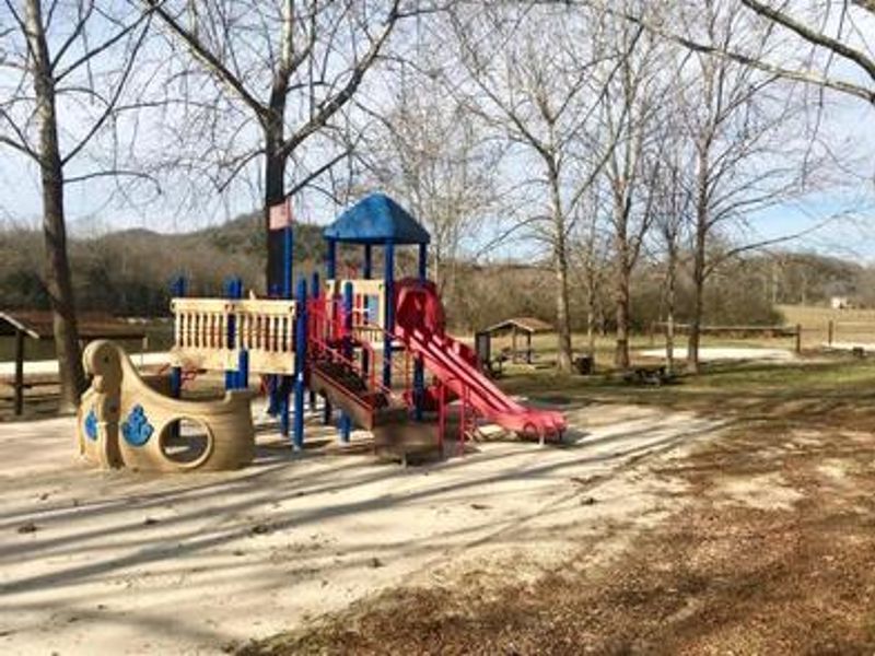
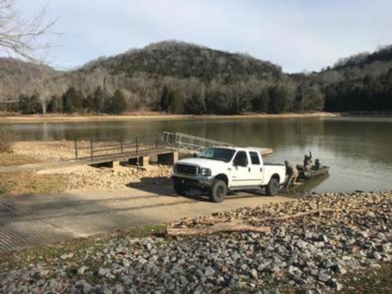
Wartrace Creek Recreation Area is a day-use facility operated by the U.S. Army Corps of Engineers on Cordell Hull Lake, part of the Cumberland River System in Jackson County, Tennessee. Located nine miles from Gainesboro, the area sits among rolling hills wooded with maple, hickory, oak, beech, and chestnut trees. The recreation area features a large group shelter that can be reserved through Recreation.gov, though overnight stays are explicitly prohibited. Amenities include flush toilets, drinking water, a swimming beach, boat ramp, playground, volleyball court, and a fish cleaning station. A $5 per vehicle fee is charged upon arrival. The 12,000-acre Cordell Hull Lake stretches 72 miles upstream with 381 miles of shoreline. Visitors enjoy fishing for white bass, rockfish, largemouth bass, catfish, and crappie. For overnight camping at Cordell Hull Lake, campers should look to nearby facilities such as Defeated Creek Park or Salt Lick Creek Campground.
Directions
From Carthage, go 4 miles west on SR-25, then north on 80, and east on 85 past Gladice; park is on the right.
Amenities
| Water | Yes |
| Fires Allowed | — |
| Toilets | Yes |
| Dump Station | No |
| Wifi | — |
| Pets Allowed | No |
| Showers | No |
| Electric Hookups | — |
| Water Hookups | — |
| Sewer Hookups | — |
| Camp Store | No |
| Price | $50 |
Vehicle
| Max RV Length | — |
| Max Trailer Length | — |
| Big Rig Friendly | — |
| Pull Through Sites | No |
Contact
| Phone | +1 (931) 678-4801 |
Cell Service
| AT&T | None |
| Verizon | None |
| T-Mobile | None |
Availability
Photos
Community Posts
No posts yet. Be the first to share your experience!