Upper Manistee River Backcountry Campsites
Open year-round but not plowed in winter. Reservations required through Recreation.gov from Memorial Day weekend through Labor Day weekend, limited to 3-day maximum per reservation. First-come, first-served the rest of the year.
Beach Hazards Statement issued July 21 at 10:40PM EDT until July 22 at 8:00PM EDT by NWS Gaylord MI
* WHAT...Dangerous swimming conditions due to 3-7 ft waves and rip currents. * WHERE...Emmet, Benzie and Manistee Counties, and Beaver Island and surrounding islands. * WHEN...From 8 AM EDT this morning through Wednesday evening. * IMPACTS...Strong currents can pull swimmers into deeper water and high waves can sweep people off piers.
About
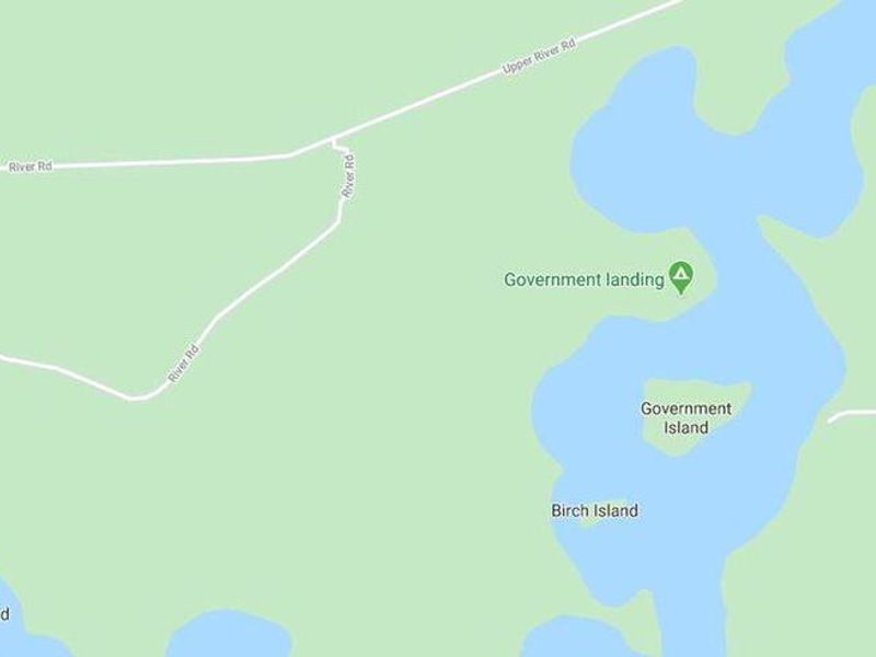
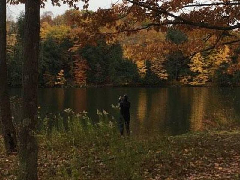
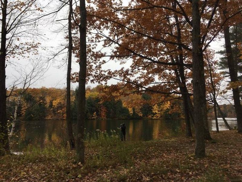
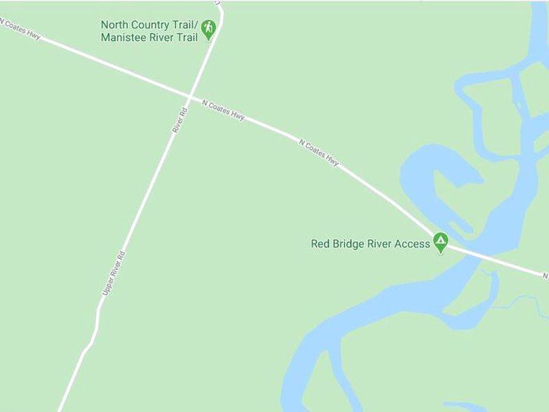
The Upper Manistee River Backcountry Campsites are primitive dispersed sites situated on the Manistee River backwaters of Tippy Dam Pond, between Tippy Dam and Hodenpyl Dam. The area is divided into two access points: Government Landing features 7 sites (5 waterfront, 2 on higher ground), while Red Bridge River Access offers 4 walk-in only sites with easy river access. Both locations have boat ramps for motorized and non-motorized watercraft. This is one of the more scenic areas in Manistee National Forest, where the Manistee River meanders through native hardwoods and pines with steep slopes and sharp turns. Wildlife viewing opportunities include bald eagles, loons, trumpeter swans, black bears, white-tailed deer, river otters, and turtles. Fishing is excellent on the Manistee River, known for its trout and salmon runs. Hiking opportunities abound with the North Country Trail and Manistee River Trail nearby, both offering excellent views of the forested terrain and river. Sites are limited to a maximum of 8 people and 2 vehicles (20 ft max length each). Visitors may occupy the same location for up to 16 days before relocating.
Directions
From the intersection of M-55 and M-37, head west on M-55 for 2.7 miles. Turn right onto N Warfield Rd and travel north for 5.1 miles. Turn left onto N Coates Hwy and travel west until you cross the bridge over the Manistee River. Red Bridge campsites are on the left. For Government Landing, continue west on N Coates Hwy toward Upper River Rd for 0.6 miles, turn left onto River Rd/Upper River Rd and head south for 1.3 miles; Government Landing campsites are on the left.
Amenities
| Water | Yes |
| Fires Allowed | Yes |
| Toilets | Yes |
| Dump Station | No |
| Wifi | No |
| Pets Allowed | — |
| Showers | No |
| Electric Hookups | — |
| Water Hookups | — |
| Sewer Hookups | — |
| Camp Store | No |
| Price | $0 |
Vehicle
| Max RV Length | 20ft |
| Max Trailer Length | 20ft |
| Big Rig Friendly | No |
| Pull Through Sites | No |
Contact
| sm.fs.hmnf@usda.gov | |
| Phone | +1 (231) 723-2211 |
Cell Service
| AT&T | None |
| Verizon | Yes |
| T-Mobile | None |
Useful Links
| View on Recreation.gov | |
| Huron-Manistee NF Recreation Site |
Availability
Photos

Community Posts
No posts yet. Be the first to share your experience!