2:39 PM
— 10:45 PM
* WHAT...Hot conditions with high temperatures up to 96 degrees
expected and low temperatures 60 to 65 degrees. This will pose a
moderate to major risk of heat-related illness.
* WHERE...Foothills of the Western and Southern Olympic Peninsula,
Middle Chehalis River Valley, Southern Hood Canal, Foothills and
Valleys of Thurston and Lewis Counties, Lowlands of Lewis and
Southern Thurston Counties, and Olympia and Southern Puget Sound.
* WHEN...From 10 AM Tuesday to 11 PM PDT Wednesday.
* IMPACTS...Heat will significantly increase the risk of
heat-related illnesses for those who are sensitive to heat,
especially those without effective cooling or adequate hydration.
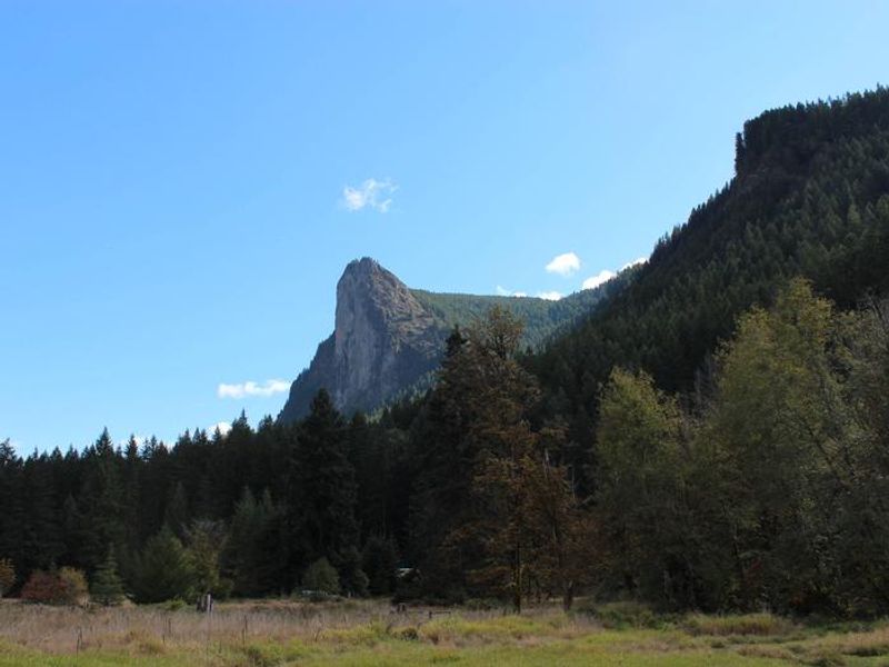
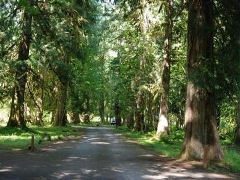
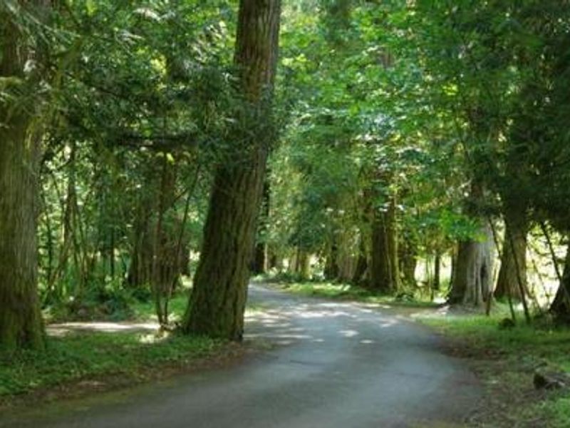
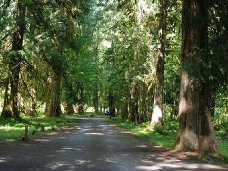
Gifford Pinchot National Forest
This Order describes acts that are prohibited upon lands, roads and trails within the National Forest System administered by the Forest Service Pacific Northwest Region in regards to alcoholic beverages.
Gifford Pinchot National Forest
This Order prohibits 1) possessing, storing, or transporting any aquatic invasive animal species AND 2) prohibits possessing, storing, or transporting any aquatic or riparian invasive plant species - on National Forest System lands in the Pacific Northwest Region as specified in the Order.
Gifford Pinchot National Forest
This Order prohibits unloading, storing, or using any straw, hay, grain, seed, or other forage or mulch products that are not state-certified weed free on the National Forest System lands, roads or trails in any Closure Area as specific in the Order. Some examples of these include hay bales, hay…
Gifford Pinchot National Forest
Fireworks and explosives (including explosive targets) are always prohibited on national forest lands. The prohibition of fireworks and exploding targets on national forest system lands is part of a set of permanent fire safety regulations in the Code of Federal Regulations (CFR), listed below.…
Gifford Pinchot National Forest
To protect visitors from increased heavy equipment operations and falling trees along Forest Road 64 this Forest Order has been enacted while instream habitat work in the adjacent Dry Creek is underway. Forest Road 64 also known as Dry Creek Road will be closed from it's intersection with Highway…
Gifford Pinchot National Forest
To protect the Ape Cave Interpretive Site on the Gifford Pinchot National Forest a Forest Order has been created to reduce the risk of spread of white-nose syndrome to bats on the Gifford Pinchot National Forest; and avoid adverse impacts to cultural resources, geologic features, wildlife, mosses,…
Gifford Pinchot National Forest
The Iron Creek Area was heavily impacted by the the December 2025 high wind and flood events causing downed trees across the area and standing hazard trees. Due to a risk to public safety from downed trees, standing hazard trees, damaged infrastructure, and hazard mitigation efforts this forest…
Gifford Pinchot National Forest
Pursuant to 16 USC § 551 and 36 CFR § 261.50(a) and (b), the following acts are prohibited on the area and trail described in this order and depicted on Exhibit A, within and/or administered by the Gifford Pinchot National Forest, Cowlitz Valley Ranger District. These prohibitions will be…
Gifford Pinchot National Forest
Due to persistent high fire danger, drought, and hot/dry weather conditions, and to minimize/eliminate the unnecessary risk of an escaped campfire or other human caused ignition to our local communities, the public, and responding fire fighters, we are implementing public fire prevention…
Gifford Pinchot National Forest
The gates along the following roads are still closed for the season. This annual seasonal gate closure is important for public safety as these roads are not maintained and become hazardous in the winter and spring spring. Forest Road 99Forest Road 26Get a free Motor Vehicle Use Map, listing all…
Gifford Pinchot National Forest
Repair work is scheduled to replace the Chinook Trail Bridge that was damaged in the 2020 Big Hollow Fire. Trailhead and road closure area (6/1/26 - 7/2/26):Observation Peak Trailhead & Forest Road 58 will be closed from the junction with Forest Road 57/58 to the junction of Forest Road…
Gifford Pinchot National Forest
There are several road closures and repair projects taking place on the Gifford Pinchot National Forest during the spring and summer of 2026. Repairs include asphalt road repairs and patches, grading, culvert replacements, drainage maintenance, aggregate placement, and bridge guardrail…
Gifford Pinchot National Forest
The Gifford Pinchot National Forest issued an emergency closure of Forest Service Road 6808 from mile marker 3.9 to mile marker 4.2 due to a sinkhole that has developed in the travel way. Closure timeframe is currently unknown, and travel will resume when roads are repaired.
Gifford Pinchot National Forest
Rd 2810-041 will close Thursday, Oct. 9, 2025, and will remain closed until mid-November for redriving piles at Yellowjacket.
Gifford Pinchot National Forest
The replacement of the Spirit Lake Tunnel Intake Gate and Geotechnical Drilling project to support safe operations and maintenance of the Spirit Lake infrastructure will continue in 2025. Construction will require weekday recreation trail closures within the Mount St. Helens National Volcanic…
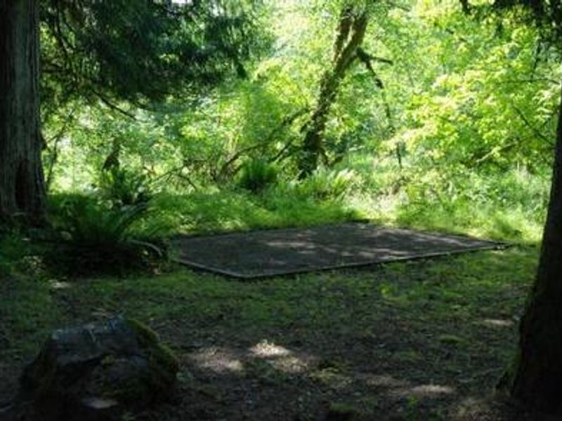
Gifford Pinchot National Forest
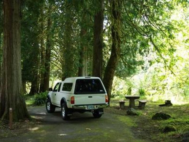
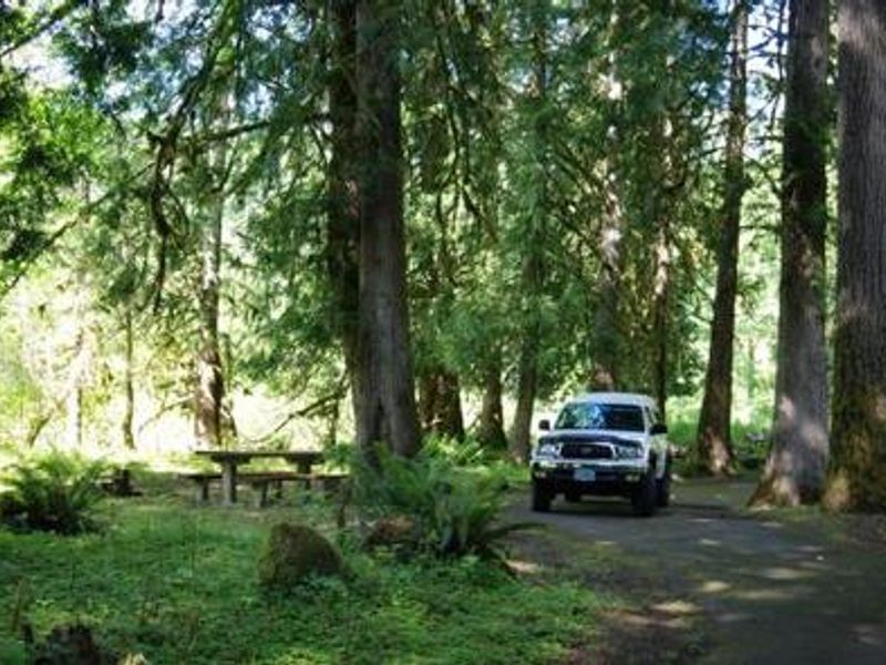
Camping in the Gifford Pinchot National Forest is limited to no more than 14 consecutive days in one spot and no more than 28 total days per calendar year across all locations.
Gifford Pinchot National Forest
Forest Road 93 is closed at milepost 6.95 due to a severe washout. Road signs are posted at the beginning of each side of Forest Road 93 to alert drivers of the inability to drive the entire length of road. Barricades may be present for public safety and block the section of road located by the…
Gifford Pinchot National Forest
Closure Upper State Route 504/Spirit Lake Memorial Highway is closed between mileposts (MP) 45.2 and 51 until further notice with a possible re-opening date sometime in 2026. The road is blocked just outside the Hummocks Trailhead at the normal winter closure gate. *Johnston Ridge…
Gifford Pinchot National Forest
Building, maintaining, attending, or using a fire, campfire, or stove fire, is prohibited on National Forest System lands identified as Drift Creek Cove in Exhibit A.
Gifford Pinchot National Forest
Camping is prohibited on National Forest Lands in Drift Creek Cove on the south side of Swift Reservoir as described in the Forest Order and shown in the map (Exhibit A below).
Gifford Pinchot National Forest
The Adams Fork Bridge on Forest Road 5601 at MP 2.0 on the Cowlitz Valley Ranger District is CLOSED. The bridge is beyond its service life, was damaged in flooding in 2015, and has suffered ongoing scouring of the foundation since that time. Recent inspections have shown that the bridge can only…
Gifford Pinchot National Forest
It is prohibited to land helicopters or other aircraft, or to use any motorized or mechanical devices to power a watercraft at Packwood Lake.
Gifford Pinchot National Forest
Using or having a vehicle is not allowed in the area from the nearby parking lot near the junction of Trail #271 and Trail #271A to high waterline of Blue Lake and land surrounding the lake for a distance of 150 feet.
Gifford Pinchot National Forest
Wilderness permits are required when entering Glacier View, Indian Heaven, Mt. Adams, Tatoosh, Trapper Creek, Goat Rocks, and William 0. Douglas Wildernesses. Required Wilderness permits are free and self issued at trailheads.
Gifford Pinchot National Forest
This forest order outlines restrictions in place in designated Wilderness areas to protect the vegetation around lakes, streams, and meadows, to reduce soil compaction and erosion in heavily used areas and to enhance the Wilderness character.