Thompson Creek Campground
Open and accessible. Seasonal road closure to motorized and mechanized use runs December 1 through April 15 annually. Stay limits are 7 days from April through August, 14 days from September through March. Access not recommended during wet or snowy conditions.
About
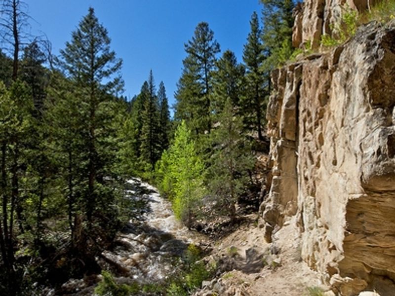
Thompson Creek Campground sits within the Thompson Creek Recreation Management Area, a remote area a few miles southwest of Carbondale, Colorado. The campground provides 4 shaded campsites positioned along Thompson Creek, each equipped with a metal fire ring. This is a truly primitive camping experience with no developed facilities. The campground has no restrooms, picnic tables, potable water, or trash collection. Campers must pack out all trash and human waste to protect the creek from contamination. Access roads are not recommended during wet or snowy conditions, and the Thompson Creek area is closed to motorized and mechanized use from December 1 through April 15 annually. The Thompson Creek trail winds along the creek and offers views of rare geologic fin formations. The nearby Lorax trail on the north end of the recreation management area provides additional non-motorized recreation opportunities.
Directions
From Carbondale, go west on State Highway 133 to the roundabout. Take Main Street (County Road 108) which becomes North Thompson Creek Road. Pass the Lorax trailhead parking on the left after approximately 4 miles. Continue 3.2 additional miles and turn left onto South Thompson Creek Road (unmarked turn). The campsites are approximately 2.1 miles from the turn.
Amenities
| Water | No |
| Fires Allowed | Yes |
| Toilets | No |
| Dump Station | No |
| Wifi | No |
| Pets Allowed | — |
| Showers | No |
| Electric Hookups | — |
| Water Hookups | — |
| Sewer Hookups | — |
| Camp Store | No |
| Price | $0 |
Vehicle
| Max RV Length | — |
| Max Trailer Length | — |
| Big Rig Friendly | No |
| Pull Through Sites | — |
Contact
| BLM_CO_SI_CRVFO_Webmail@blm.gov | |
| Phone | +1 (970) 876-9000 |
Cell Service
| AT&T | None |
| Verizon | Yes |
| T-Mobile | None |
Photos

Community Posts
No posts yet. Be the first to share your experience!