Tetilla Peak
Open for the 2026 season. Reservations required through Recreation.gov. No alcohol permitted. Ground fires and tree cutting prohibited. Check-in 3:00 PM, check-out 2:00 PM.
Hydrologic Outlook issued October 29 at 2:39PM MDT by NWS Albuquerque NM
ESFABQ * IMPACTS...River, creek, washes and arroyos may reach out of banks. Rock, mud and debris may flow into roadways and flash flooding can not be ruled out, especially in urban areas. * CONFIDENCE...High confidence in widespread rainfall, with low confidence in river and flash flooding. * WHAT...A strong Pacific storm system will interact with a atmospheric river streaming into the Desert Southwest and Four Corners region, producing widespread rain which will focus in the mountains. * WHERE...Four Corners and surrounding region, including Aztec, Bloomfield, Farmington and Shiprock. * WHEN...Sunday into Monday. * ADDITIONAL DETAILS...River basins are already saturated from last week's rainfall and flooding, making additional runoff more efficient and can more easily cause flooding problems. The greatest precipitation amounts are forecast in the San Juan Mountains of Colorado, which will create high flows in the Animas and La Plata Rivers. These rivers feed the San Juan River, which saw record flooding last week. Continue to monitor forecasts for the updates as this situation unfolds. Follow NWS Albuquerque on Facebook at: www.facebook.com/NWSAlbuquerque and on X at: www.x.com/NWSAlbuquerque
About
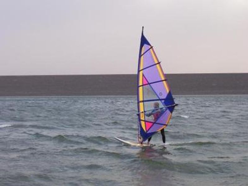
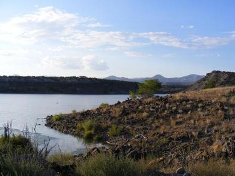
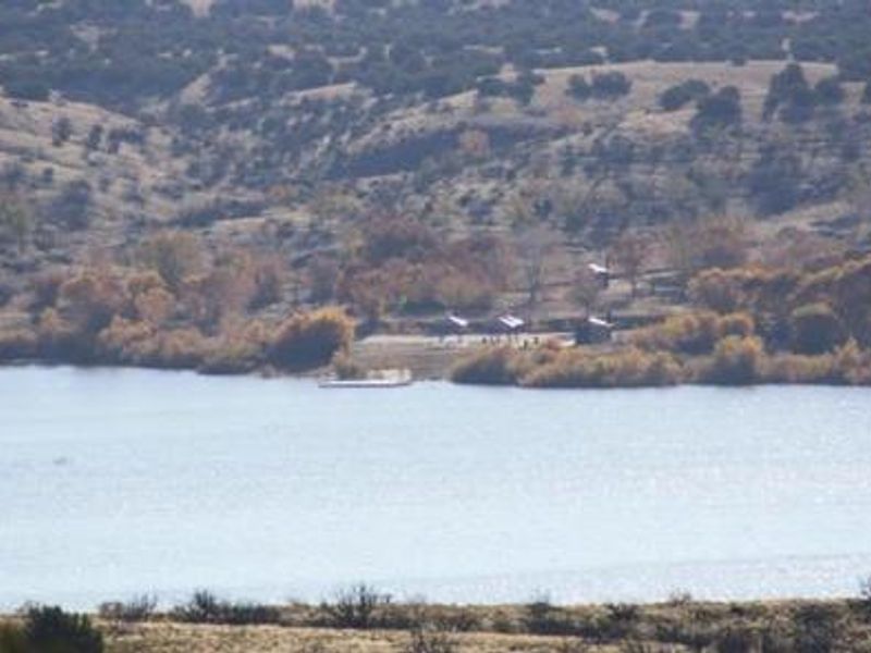
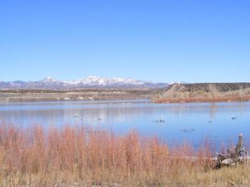
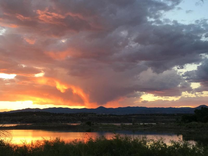
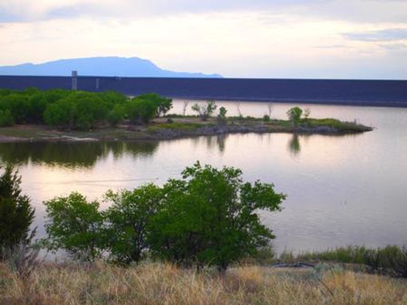
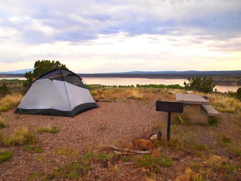
Tetilla Peak Recreation Area is located on the east shore of Cochiti Lake, one of ten largest earth-fill dams in the United States, nestled in the foothills of the Jemez Mountains in Sandoval County, New Mexico. The high desert environment at 5,343 feet elevation features juniper, piñon trees, and mixed grasslands with dramatic views of the water and surrounding mountains. The campground consists of two loops. Cholla Loop offers 36 individual campsites with 20/30 amp electric hookups, covered shelters, picnic tables, and grills. Water spigots are located throughout the loop, and the area includes a dump station and restroom/shower building. Coyote Loop provides 10 non-electric sites with tables and grills along a partially paved road. The quiet no-wake lake is ideal for paddle craft, kayaking, and wind sailing. Anglers target bass, crappie, walleye, catfish, sunfish, and pike. Four osprey nesting platforms around the lake provide wildlife viewing, and deer, coyote, river otters, rabbits, beavers, and bears are frequently spotted on the east side. Kasha-Katuwe Tent Rocks National Monument lies 23 miles away.
Directions
From Albuquerque, take I-25 north to exit 264. Travel west on State Road 16 to the Tetilla Peak Recreation Area/La Bajada Village turnoff and follow the paved road into the recreation area.
Amenities
| Water | Yes |
| Fires Allowed | No |
| Toilets | Yes |
| Dump Station | Yes |
| Wifi | — |
| Pets Allowed | Yes |
| Showers | Yes |
| Electric Hookups | Yes |
| Water Hookups | Yes |
| Sewer Hookups | No |
| Camp Store | — |
| Price | $15 - $20 |
Vehicle
| Max RV Length | 50ft |
| Max Trailer Length | 50ft |
| Big Rig Friendly | Yes |
| Pull Through Sites | No |
Contact
| Phone | +1 (505) 465-0274 |
Cell Service
| AT&T | Yes |
| Verizon | Yes |
| T-Mobile | Yes |
Availability
Photos
Community Posts
No posts yet. Be the first to share your experience!