Jemez Falls Picnic Area
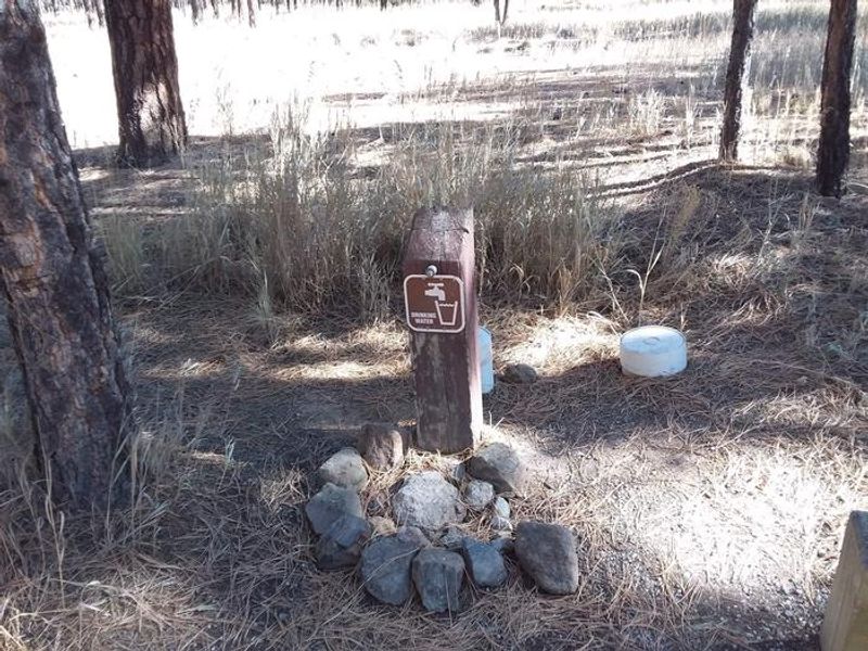
Open for day-use reservations. Water systems are not yet operational due to freezing overnight temperatures. Bring your own drinking water. Day use only; no overnight camping permitted.
Flood Watch issued October 30 at 12:31AM MDT until November 2 at 11:00AM MST by NWS Albuquerque NM
* WHAT...Flooding caused by excessive rainfall is possible. * WHERE...Portions of north central, northwest, and west central New Mexico, including the following areas, in north central New Mexico, Far Northwest Highlands, Jemez Mountains, Northwest Highlands and Tusas Mountains Including Chama. In northwest New Mexico, Chuska Mountains and Northwest Plateau. In west central New Mexico, San Francisco River Valley, Southwest Mountains, West Central Highlands, West Central Mountains and West Central Plateau. * WHEN...From early Sunday morning through Monday morning. * IMPACTS...Excessive runoff may result in flooding of rivers, creeks, streams, and other low-lying and flood-prone locations. Creeks and streams may rise out of their banks. Flooding may occur in poor drainage and urban areas. Low-water crossings may be flooded. * ADDITIONAL DETAILS... - Another round of widespread rainfall is expected Sunday into Monday with rainfall amounts between 1 and 2 inches near and west of the Continental Divide. This rainfall will occur over very saturated soils which will increase runoff. These are also areas that are still recovering from the last flood event. River rises are likely, but rises are not expected to be as high as the last flood event. - http://www.weather.gov/safety/flood
Hydrologic Outlook issued October 29 at 2:39PM MDT by NWS Albuquerque NM
ESFABQ * IMPACTS...River, creek, washes and arroyos may reach out of banks. Rock, mud and debris may flow into roadways and flash flooding can not be ruled out, especially in urban areas. * CONFIDENCE...High confidence in widespread rainfall, with low confidence in river and flash flooding. * WHAT...A strong Pacific storm system will interact with a atmospheric river streaming into the Desert Southwest and Four Corners region, producing widespread rain which will focus in the mountains. * WHERE...Four Corners and surrounding region, including Aztec, Bloomfield, Farmington and Shiprock. * WHEN...Sunday into Monday. * ADDITIONAL DETAILS...River basins are already saturated from last week's rainfall and flooding, making additional runoff more efficient and can more easily cause flooding problems. The greatest precipitation amounts are forecast in the San Juan Mountains of Colorado, which will create high flows in the Animas and La Plata Rivers. These rivers feed the San Juan River, which saw record flooding last week. Continue to monitor forecasts for the updates as this situation unfolds. Follow NWS Albuquerque on Facebook at: www.facebook.com/NWSAlbuquerque and on X at: www.x.com/NWSAlbuquerque
From Recreation.gov
Be advised: Due to our freezing temps at night our water systems have not been turned on yet. Please ensure you bring enough water for your stay. We are hoping to get them turned on for the season as soon as weather permits. Thank you
About
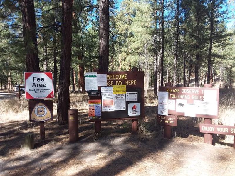
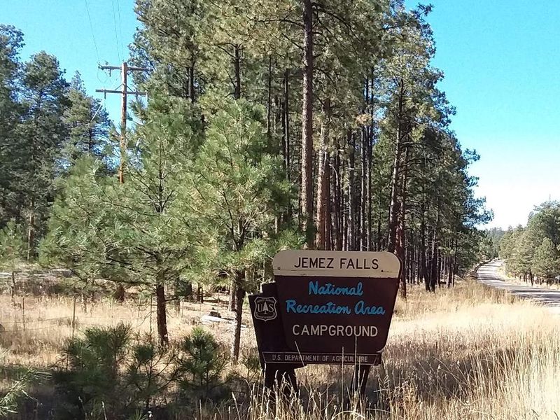
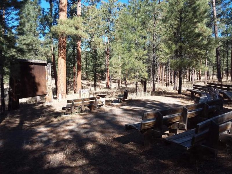
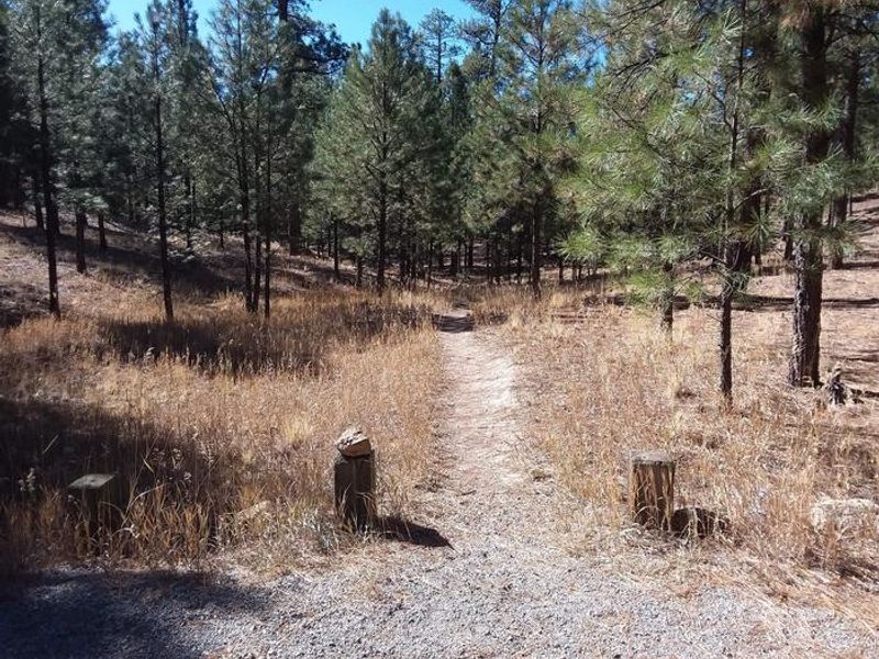
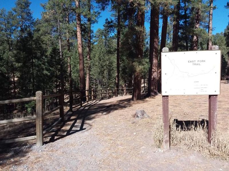
Jemez Falls Group Picnic Site sits at 7,880 feet elevation in a forested setting on the Jemez District of the Santa Fe National Forest, approximately 15 miles northeast of Jemez Springs, New Mexico. The site is a reservable group day-use area that can accommodate up to 100 people, making it ideal for family reunions, group outings, and special events. The picnic area features a group pavilion with picnic tables, accessible vault toilets, cooking grills (charcoal only), and an open area suitable for volleyball. A trailhead within the area provides access to the scenic 70-foot Jemez Falls and McCauley Warm Springs. Nearby attractions include fishing on the trout-stocked Jemez River, San Diego Canyon overlook, Valles Caldera National Preserve, and Bandelier National Monument along the Jemez Mountain Trail National Scenic Byway. This is a day-use facility only. Overnight camping is not permitted at this site. For overnight stays, the adjacent Jemez Falls Campground offers 52 sites with camping amenities.
Directions
From Jemez Springs, New Mexico, travel 15 miles northeast on State Road 4 to Forest Road 133 South. Continue approximately 1.5 miles to the day-use area.
Amenities
| Water | No |
| Fires Allowed | No |
| Toilets | Yes |
| Dump Station | No |
| Wifi | No |
| Pets Allowed | — |
| Showers | No |
| Electric Hookups | — |
| Water Hookups | — |
| Sewer Hookups | — |
| Camp Store | No |
| Price | $75 |
Vehicle
| Max RV Length | — |
| Max Trailer Length | — |
| Big Rig Friendly | — |
| Pull Through Sites | No |
Contact
| Phone | +1 (575) 829-3535 |
Cell Service
| AT&T | None |
| Verizon | Yes |
| T-Mobile | None |
Availability
Photos
Community Posts
No posts yet. Be the first to share your experience!