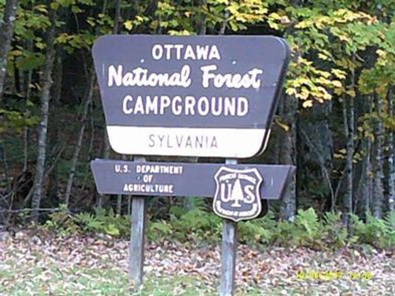
Sylvania Campground
The campground is currently closed for the season. Opening day is May 15, 2026, with full services beginning the Friday before Memorial Day. Some sites are reservable via Recreation.gov; others are first-come, first-served. Gates on loops 2, 3, and 4 close September 30 with reduced services through the October 15 closing date.
About
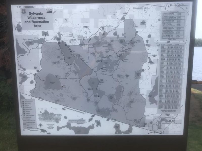
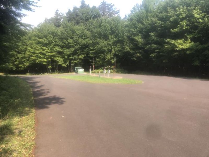
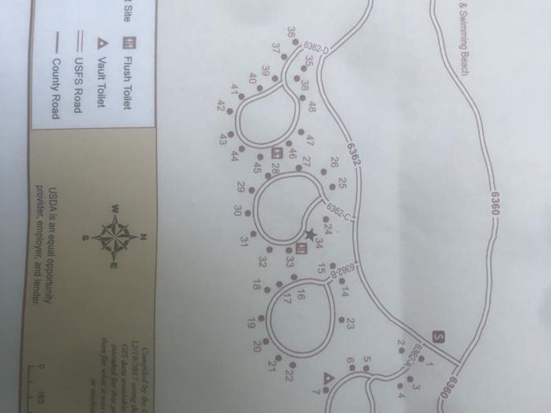
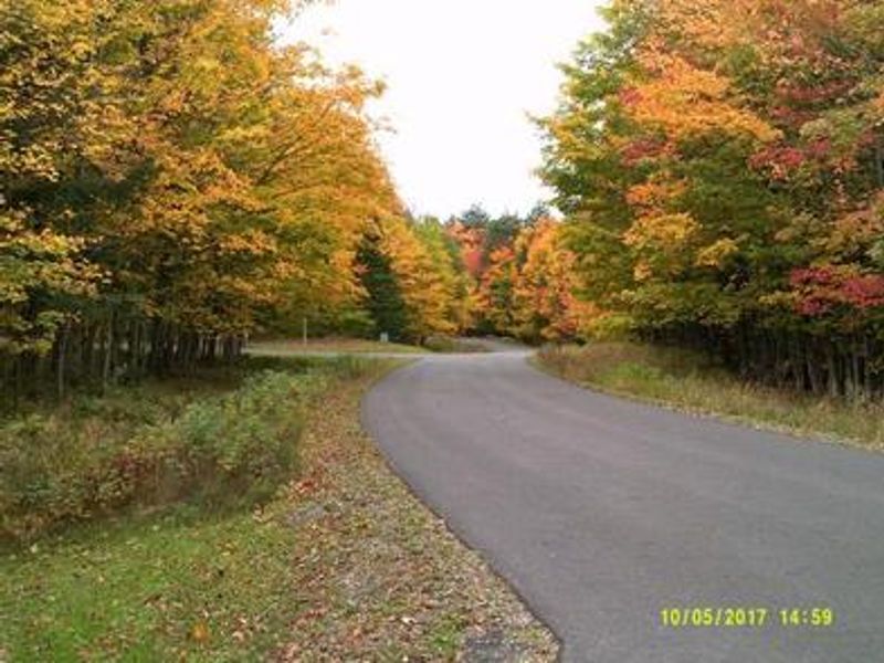
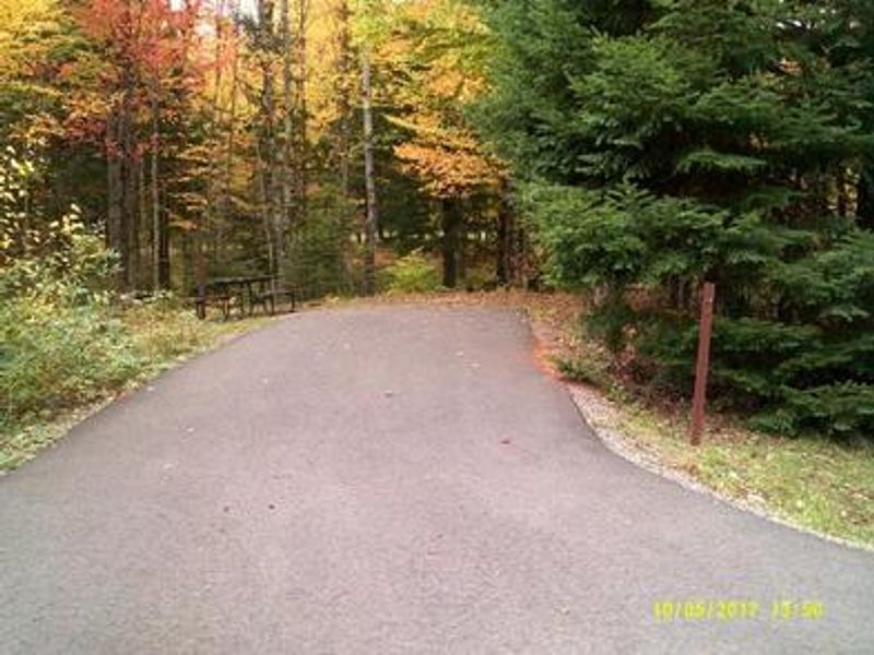
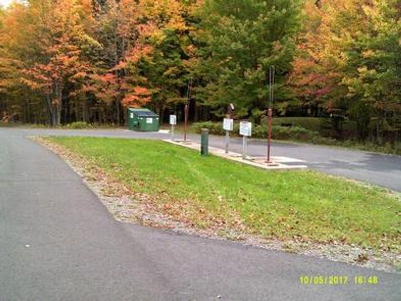
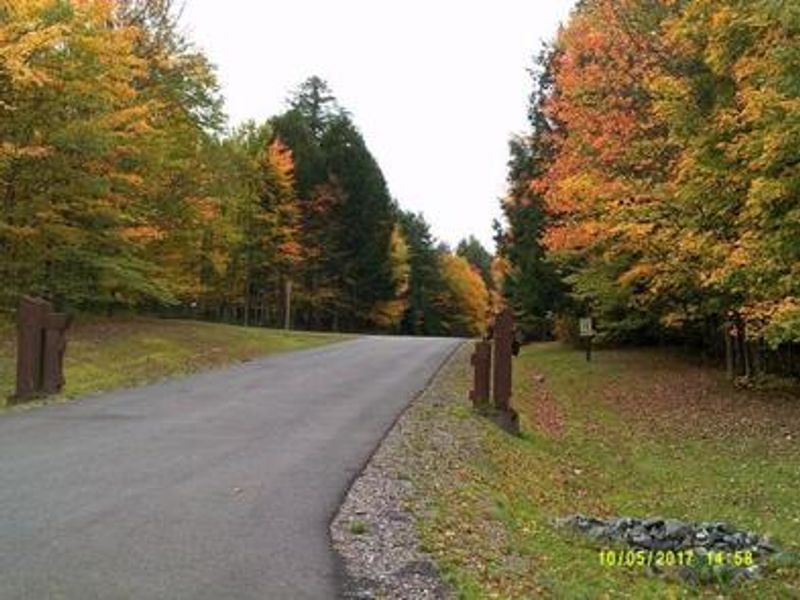
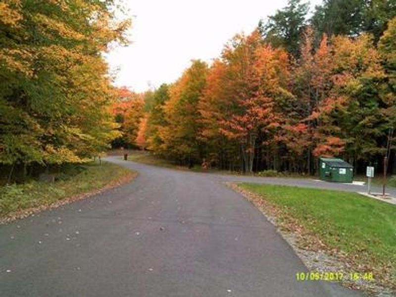
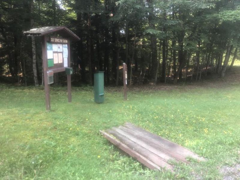
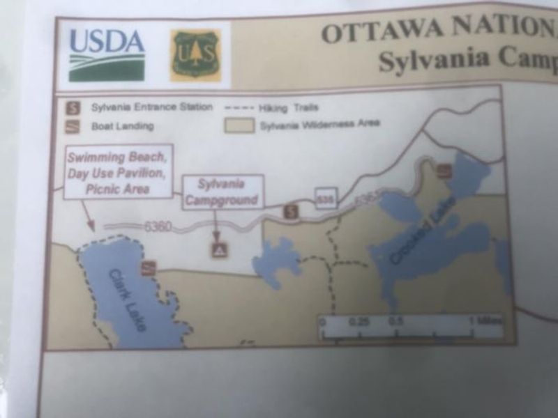
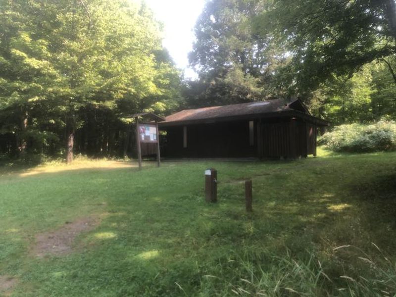
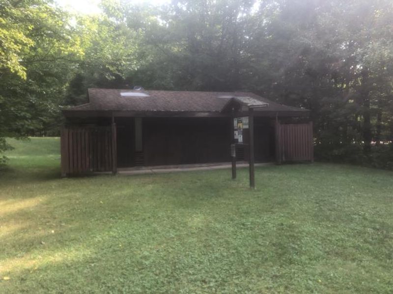
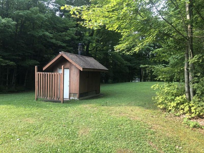
Sylvania (Clark Lake) Campground provides the primary front-country access point to the Sylvania Wilderness, one of the most intact old-growth forest ecosystems in the Great Lakes region. The campground's four loops contain 48 drive-in sites spread through mixed hardwood and conifer forest. Each site has a picnic table, fire ring, and lantern post. Loops 2, 3, and 4 have potable water faucets, while two flush toilet buildings and one accessible vault toilet serve the campground. Electric hookups are available at select sites. The adjacent Clark Lake day-use area includes a swimming beach, picnic pavilion, and boat launches providing access to the wilderness lakes. Sylvania's 34 named lakes offer exceptional non-motorized paddling and fishing for bass, walleye, and panfish. Over 26 miles of hiking trails wind through towering red and white pines, some reaching record sizes. The old-growth forest harbors bald eagles, ospreys, loons, and rare orchid species. The campground operates seasonally from May 15 through October 15. Reservations are available through Recreation.gov for select sites, while others remain first-come, first-served. An RV dump station operates through September 30. The maximum stay is 14 days, with a limit of eight people and two vehicles per site.
Directions
From Watersmeet, MI, take US-2 west approximately 3.5 miles to County Road 535. Turn left onto CR-535 and travel approximately 3.5 miles to the Sylvania Wilderness Recreation Area entrance on the left.
Location
Amenities
| Water | Yes |
| Fires Allowed | Yes |
| Toilets | Yes |
| Dump Station | Yes |
| Wifi | No |
| Pets Allowed | — |
| Showers | No |
| Electric Hookups | Yes |
| Water Hookups | No |
| Sewer Hookups | No |
| Camp Store | No |
| Price | $22 - $26 |
Vehicle
| Max RV Length | 88ft |
| Max Trailer Length | 88ft |
| Big Rig Friendly | — |
| Pull Through Sites | No |
Contact
| Phone | +1 (906) 358-4551 |
Cell Service
| AT&T | Yes |
| Verizon | Yes |
| T-Mobile | None |
Availability
Photos

Community Posts
No posts yet. Be the first to share your experience!