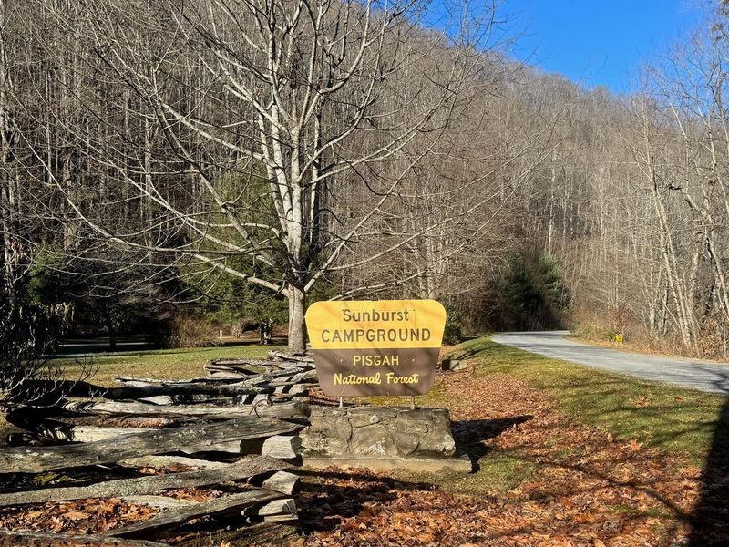
Sunburst
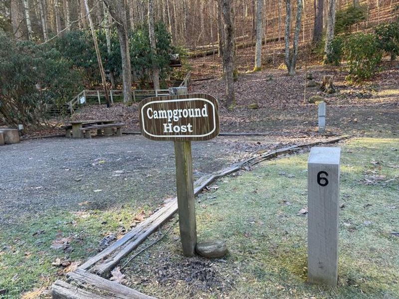
Open for the 2026 season from March 23 through November 15. Fire restrictions are in effect prohibiting wood-burning fires; charcoal and gas grills are permitted in designated areas only. Campground staff on-site during operating season. Check-in after 2pm, check-out by noon.
Flood Watch issued October 10 at 10:47PM EDT until October 11 at 2:00PM EDT by NWS Greenville-Spartanburg SC
* WHAT...Flash flooding caused by excessive rainfall continues to be possible. * WHERE...In Northeast Georgia, the following counties: Elbert, Franklin, Habersham, Hart, Rabun and Stephens. In western North Carolina, the following counties: Avery, Buncombe, Burke, Caldwell, McDowell, Polk, Rutherford, Haywood, Henderson, Macon, Mitchell, Jackson, Transylvania and Yancey. In Upstate South Carolina, the following counties: Abbeville, Anderson, Central Greenville, Greater Oconee, Greater Pickens, Greenville, Greenwood, Laurens, Spartanburg, and Oconee. * WHEN...Through Sunday afternoon. * IMPACTS...Excessive runoff may result in flooding of rivers, creeks, streams, and other low-lying and flood-prone locations. Creeks and streams may rise out of their banks. Low-water crossings may be flooded. * ADDITIONAL DETAILS... - As the remnants of Isaias move northward into the lower Ohio Valley, periods of rain will continue. High rainfall rates will continue in short bursts through the overnight hours. By Sunday morning, total accumulations of generally 5 to 8 inches are expected along the southeast-facing Blue Ridge Escarpment, with 2 to 5 inches elsewhere in the watch area. - http://www.weather.gov/safety/flood
Flood Advisory issued October 10 at 10:57AM EDT until October 12 at 2:00AM EDT by NWS Greenville-Spartanburg SC
...The Flood Advisory continues for the following rivers in North Carolina... Pigeon River At above Old River Rd (NC 215), 1 SW Canton affecting Haywood County. .Tropical rainfall will continue to overspread the mountains through tonight and become heavier. Storm-total rainfall of 4-8 inches is expected, with isolated higher amounts possible across the upper Pigeon River watershed upstream of Canton. The highest totals will occur along the Pisgah ridge and in the Shining Rock and Middle Prong Wilderness areas within the headwaters of the east and west forks of the Pigeon River. There remains enough confidence that out-of-bank conditions are likely for the Pigeon River. This rise above Action Stage will result in nuisance, relatively shallow flooding of low-lying areas adjacent to the Pigeon River, including farmland, woodlands, low-lying secondary roads, greenways, parks, and other flood-prone locations. More significant rises along the Pigeon River are possible, and those with interests along the river are encouraged to stay weather aware and up-to-date on the latest stream levels and forecasts at https://water.noaa.gov/wfo/GSP. Current reasonable worst-case scenarios are posted in the ADDITIONAL DETAILS sections below. Forecast crests above Minor Flood Stage may result in the River Flood Advisories being upgraded to River Flood Warnings. * WHAT...Flooding caused by excessive rainfall continues. * WHERE...Pigeon River at above Old River Rd (NC 215), 1 SW Canton. * WHEN...Until late Sunday night. * IMPACTS...At 8.0 feet, Action/Advisory Stage. Common, nuisance flooding of low-lying areas adjacent to the Pigeon River is beginning. Floodwaters are beginning to impact farmland, woodlands, nurseries, parks, athletic fields, golf courses, greenways, and boat-access areas with up to 2 feet of inundation. Low-water crossings may be inundated with up to 2 feet of floodwater and become impassable. Adjacent campgrounds, mobile home/RV parks, and secondary roads may experience floodwater inundation of up to 1 foot. * ADDITIONAL DETAILS... - At 10:45 AM EDT Saturday the stage was 1.4 feet. - Bankfull stage is 10.0 feet. - Forecast...The river is expected to rise to a crest of 8.5 feet tomorrow morning. The reasonable worst-case crest would be around the minor flood stage of 10 feet. - Action stage is 8.0 feet. - Flood stage is 10.0 feet. - http://www.weather.gov/safety/flood
About
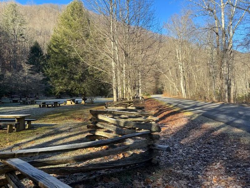
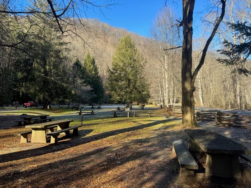
Sunburst Campground occupies the site of a historic logging camp along NC 215 in Pisgah National Forest. The small facility offers nine primitive campsites in a single-row configuration, providing a quieter camping experience compared to larger forest campgrounds. The West Fork and Pigeon Rivers flow nearby, offering opportunities for stream fishing. Each campsite is equipped with a picnic table, gravel tent pad, lantern hook, and fire ring with grill. A bathhouse with flush toilets serves the campground, and firewood is available for purchase on-site. The campground does not have potable water, showers, or RV hookups. Sunburst is located in black bear territory, and all food and scented items must be secured in vehicles or hard-sided campers when not in use. The campground operates from late March through mid-November and can be reserved through Recreation.gov, though some sites may be available first-come, first-served.
Directions
From Waynesville, take US 276 South for 7 miles, turn right onto NC 215 South, and continue 8 miles to the campground.
Nearby Campgrounds
Amenities
| Water | No |
| Fires Allowed | No |
| Toilets | Yes |
| Dump Station | No |
| Wifi | No |
| Pets Allowed | Yes |
| Showers | No |
| Electric Hookups | — |
| Water Hookups | — |
| Sewer Hookups | — |
| Camp Store | No |
| Price | $25 |
Vehicle
| Max RV Length | — |
| Max Trailer Length | — |
| Big Rig Friendly | No |
| Pull Through Sites | No |
Contact
| BrianJ@Naventure.com | |
| Phone | +1 (828) 577-4910 |
Cell Service
| AT&T | None |
| Verizon | None |
| T-Mobile | None |
Availability
Photos
Community Posts
No posts yet. Be the first to share your experience!