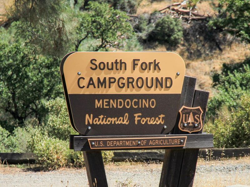
South Fork Campground - Mendocino National Forest
Open year-round on a first-come, first-served basis. No advance reservations. Pay $5/night via Scan & Pay at the kiosk using the Recreation.gov mobile app. Campers must pack out all trash.
National Forest System Roads
Follow California Vehicle Code on National Forest System Roads
Fireworks and Explosives are always Prohibited
Fireworks and explosives (including explosive targets) are always prohibited on national forest lands. The prohibition of fireworks and exploding targets on national forest system lands is part of a set of permanent fire safety regulations in the Code of Federal Regulations (CFR), listed below.…
Boil Water Advisory at Mill Valley Campground
Mill Valley Campground is under a boil water advisory, until further notice. Use bottled water or bring tap water to a full rolling boil for one minute before use.For more information on boil water advisories, visit https://www.cdc.gov/water-emergency/about/index.html.
About
South Fork Campground is a rustic first-come, first-served campground located on the South Fork of Stony Creek within Mendocino National Forest. The campground features two large camping areas with a total of 10 sites, each equipped with a picnic table and fire ring. Situated in an open grove of oak trees adjacent to a year-round stream, the setting offers a peaceful basecamp for outdoor recreation. The campground is a popular staging area for off-highway vehicle enthusiasts, with direct access to the Stonyford OHV trail system and nearby trailheads including Bathhouse. River and stream fishing is productive during winter and early spring when water levels are high. Davis Flat and Fouts campgrounds are located nearby for overflow. Facilities are basic but functional: vault toilets and potable water from faucets are available, but campers must pack out all trash. The campground accommodates trailers up to 30 feet. Payment is $5 per night via Scan & Pay using the Recreation.gov mobile app at the on-site kiosk.
Directions
Located 9.5 miles west of Stonyford on Road 18N03.
Amenities
| Water | Yes |
| Fires Allowed | Yes |
| Toilets | Yes |
| Dump Station | — |
| Wifi | No |
| Pets Allowed | — |
| Showers | No |
| Electric Hookups | — |
| Water Hookups | — |
| Sewer Hookups | — |
| Camp Store | No |
| Price | $5 |
Vehicle
| Max RV Length | — |
| Max Trailer Length | 30ft |
| Big Rig Friendly | No |
| Pull Through Sites | No |
Contact
| Phone | +1 (530) 963-3128 |
Cell Service
| AT&T | None |
| Verizon | None |
| T-Mobile | None |
Useful Links
| View on Recreation.gov | |
| USFS South Fork Campground Page |
Availability
Photos
Community Posts
No posts yet. Be the first to share your experience!