Silver Creek
Currently closed for the season. The campground typically opens in early June and closes in early September, depending on weather and conditions. Sites are first-come-first-served with no advance reservations.
About
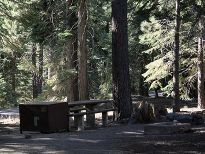
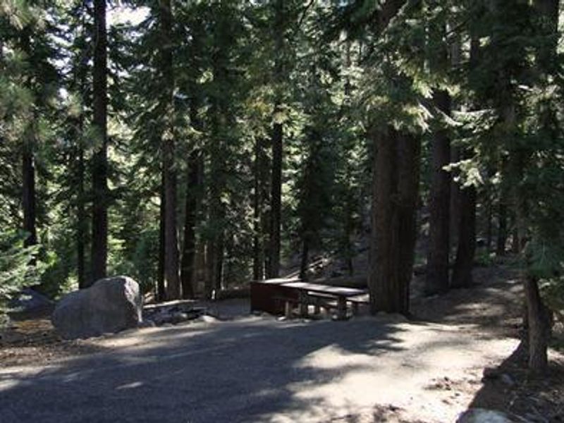
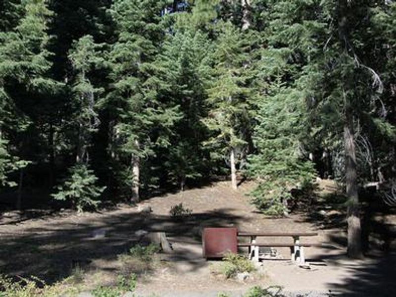
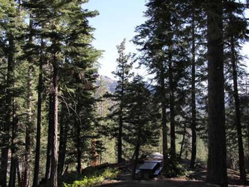
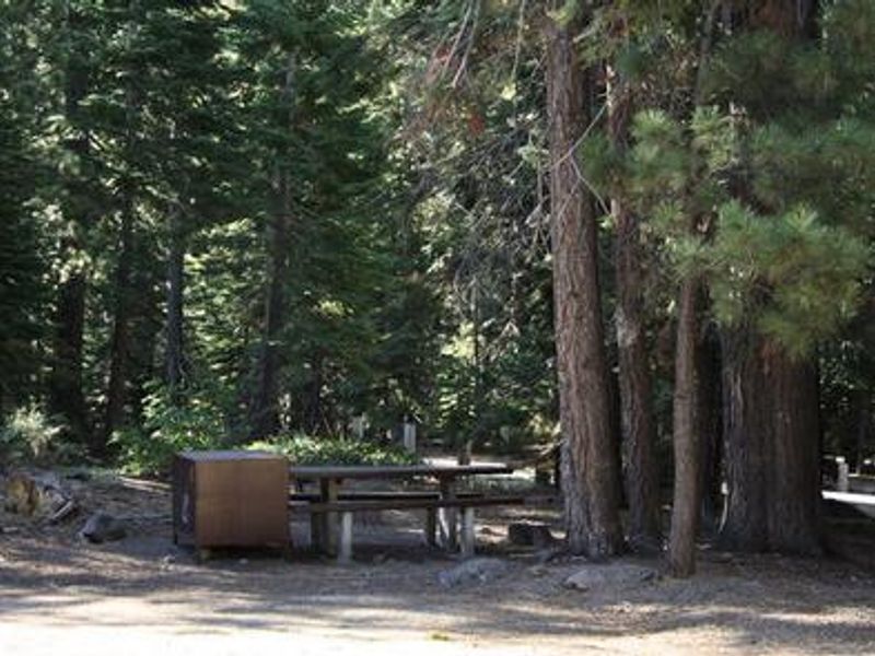
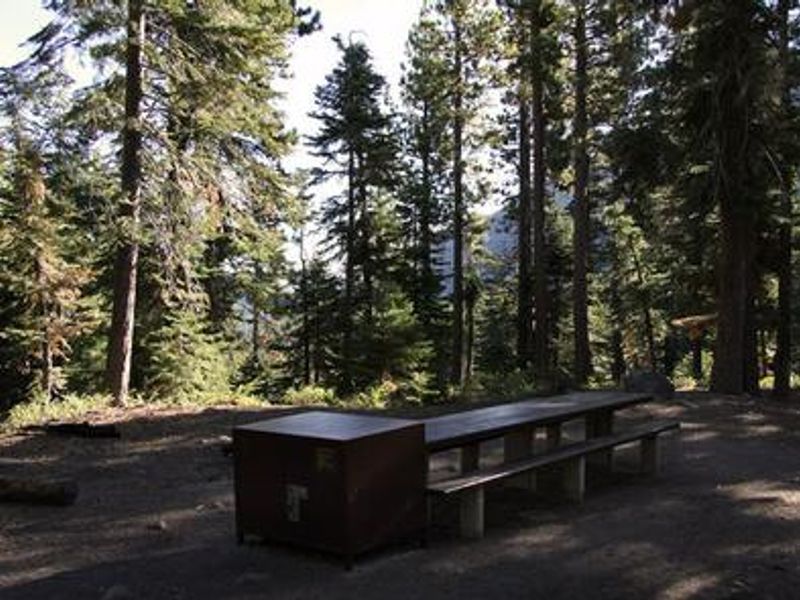
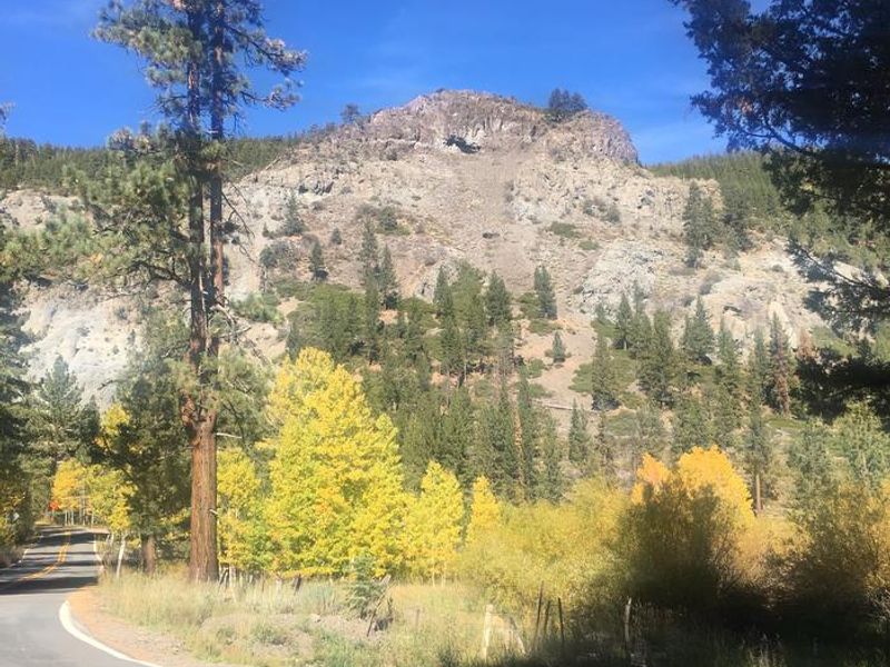
Silver Creek Campground lies in a scenic fir and pine forest on the mountainside above Noble Creek at 6,800 feet elevation in the Humboldt-Toiyabe National Forest. Located 11.7 miles south of Markleeville on Highway 4, just east of Ebbetts Pass, the campground provides a peaceful basecamp for exploring the eastern Sierra. The campground contains 22 sites split into two loops that straddle Highway 4. Each site includes a picnic table, fire ring with grill, and bear box for food storage. Vault toilets and trash collection are provided, but this is a dry campground with no potable water available. A campground host sells firewood on-site. Black bears frequent the area, making proper food storage essential. Popular activities include fishing the nearby East Fork Carson River and other local creeks, and hiking the Pacific Crest Trail, accessible about 3 miles west via the Noble Canyon Trailhead. The trailhead also provides access to the Carson-Iceberg and Mokelumne Wilderness areas. Note that Highway 4 becomes steep, narrow, and winding immediately past the campground.
Directions
From Markleeville, California: Head south on Highway 4 for approximately 11.7 miles. The campground entrance is on Highway 4, east of Ebbetts Pass. From Carson City or Minden, Nevada: Take Highway 88 approximately 14 miles to Woodfords, turn left at the junction of Highways 4/89, travel 5 miles south to Markleeville, continue through town for 3 miles to the Highway 89/Monitor Pass turnoff, then continue straight on Highway 4 uphill for 6 miles to the campground.
Amenities
| Water | No |
| Fires Allowed | Yes |
| Toilets | Yes |
| Dump Station | — |
| Wifi | No |
| Pets Allowed | Yes |
| Showers | No |
| Electric Hookups | — |
| Water Hookups | — |
| Sewer Hookups | — |
| Camp Store | No |
| Price | $27.36 |
Vehicle
| Max RV Length | 51ft |
| Max Trailer Length | 51ft |
| Big Rig Friendly | — |
| Pull Through Sites | No |
Contact
| Phone | +1 (775) 882-2766 |
Cell Service
| AT&T | None |
| Verizon | None |
| T-Mobile | None |
Availability
Photos

Community Posts
No posts yet. Be the first to share your experience!