11:23 AM
— 9:00 PM
The National Weather Service in Reno NV has issued a Red Flag Warning
in effect from 11 AM to 9 PM PDT Saturday.
* AFFECTED AREA...Fire Weather Zones 274 Southern Mono County, 420
Northern Sierra Front including Carson City, Douglas, Storey,
Southern Washoe, Western Lyon, and Far Southern Lassen Counties,
421 Southern Sierra Front including Alpine, Northern Mono, Southern
Lyon, and Western Mineral Counties, 423 West Humboldt Basin in
Pershing County, and 429 Lahontan Basin including Churchill and
Eastern Mineral Counties.
* TIMING...From 11 AM to 9 PM PDT Saturday.
* WINDS...Southwest winds 15 to 25 mph with gusts 35 to 45 mph.
* RELATIVE HUMIDITY...Minimum Humidity between 14 to 22 percent.
* DURATION...3 to 6 hours.
* IMPACTS...The combination of gusty winds and prolonged dry
conditions, even in areas where humidity may not be as low, can
cause fires to rapidly grow in size and intensity before first
responders can contain them.
12:47 PM
— October 10th, 11:00 PM
* WHAT...Southwest winds 15 to 25 mph with gusts up to 40 mph. Waves
2 to 3 feet on Lake Tahoe and Pyramid Lake.
* WHERE...Greater Lake Tahoe Area, Greater Reno-Carson City-Minden
Area, and Western Nevada Basin and Range including Pyramid Lake.
* WHEN...From 5 AM to 11 PM PDT Saturday.
* IMPACTS...Gusty winds and rough waves on area lakes will create
hazardous conditions for small craft.
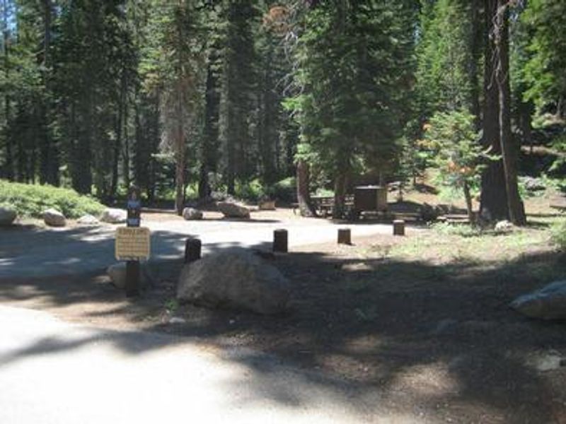
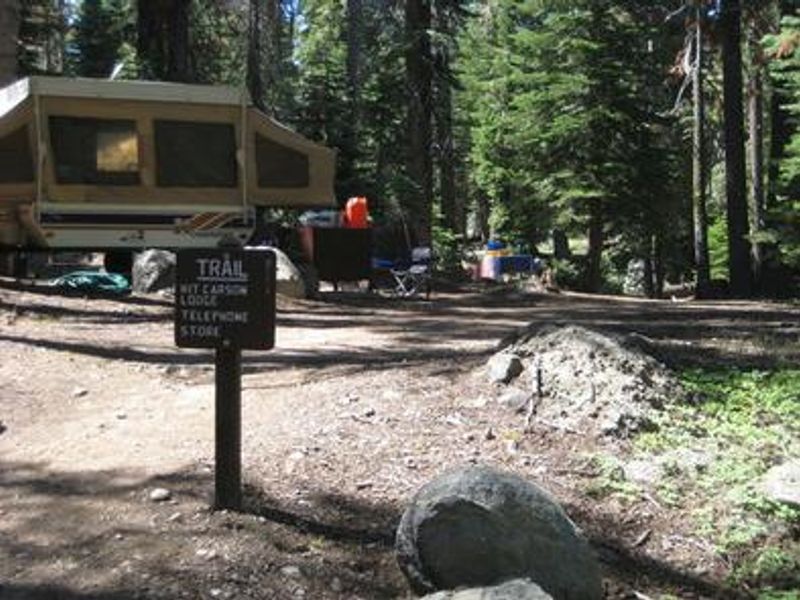
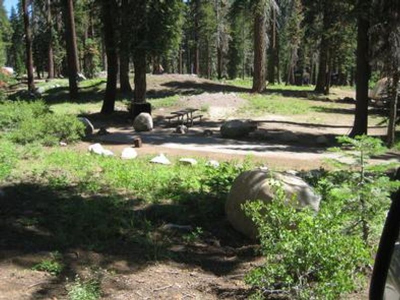
Renovations were recently completed at Silver Lake East. Site information has been updated, however please be aware that the interactive mapping system is incorrect. See Facility Information > Additional Information > 2025 Facility Map for the new map and site locations.
Humboldt-Toiyabe National Forest
Prohibited by this order: Possessing, storing, or transporting non-pelletized hay, straw, or mulch in the Intermountain Region, unless it is certified as weed free by the state where the product originated.
Humboldt-Toiyabe National Forest
Prohibited by this order: Possessing, discharging, or using any kind of firework or other pyrotechnic device. 36 CFR §261.52(t)Operating or using any internal or external combustion engine without a spark arresting device properly installed, maintained and in effective working order as described…
Humboldt-Toiyabe National Forest
This order prohibits the use of explosives and exploding targets on National Forest System lands within the Intermountain Region.
Humboldt-Toiyabe National Forest
Angel Lake Campground and Day Use Area will close for the season Tuesday, Sept. 8. The closure will allow crews to begin construction on the long-awaited new Angel Lake Dam.
Humboldt-Toiyabe National Forest
Area closure for the Hawk Fire burning in the Peavine area of Reno, Carson Ranger District. This is to protect public health and safety.
Humboldt-Toiyabe National Forest
Restrictions on using firearms during high fire danger. This is to provide for the public’s health and safety and to protect National Forest System Lands, resources, and facilities during the current period of highfire danger.
Humboldt-Toiyabe National Forest
This road closure includes the shoulder and adjacent lands extending 300 feet perpendicular from each side of Forest Service Road 57390 to protect public health and safety during project work.
Humboldt-Toiyabe National Forest
Area closure for the Ward Fire burning near Ward Mountain, Ely Ranger District. This is to protect public health and safety during active wildfire operations and to prevent other ignitions.
Humboldt-Toiyabe National Forest
Prohibits possessing, storing or transporting butterflies. The purpose of this order is to protect sensitive butterfly species within the Spring Mountains National Recreation Area.
Humboldt-Toiyabe National Forest
Recreation rules for the Mokelumne Wilderness Area, the Carson Pass Management Area, the Round Top Special Interest Area, and the Salt Springs Reservoir Area, to provide for public safety and protect natural resources.
Humboldt-Toiyabe National Forest
Construction is underway on a Liberty Utilities project to replace power lines in Alpine County, California. Work along SR 88 from Crystal Springs Campground to Sorenson's Resort will be ongoing through the end of the year.Temporary lane closures and traffic detours may occur on SR 88, Crystal…
Humboldt-Toiyabe National Forest
Stage 1 fire restrictions are in effect for the Spring Mountains National Recreation Area from May 29, 2026 to September 30, 2026
Humboldt-Toiyabe National Forest
Leash restrictions in the Thomas Creek and Whites Creek area of south Reno during livestock grazing there. This is to protect public health and safety of ongoing livestock operations.
Humboldt-Toiyabe National Forest
Day use, camping and fire restrictions for certain areas of the Carson Ranger District. This is for public health and safety and the protection of natural resources.
Humboldt-Toiyabe National Forest
Camping is prohibited on the on all NFS lands within 0.5 mile on either side of the segment of Twin Lakes Road and the portion of the Twin Lakes Recreation Area depicted in the attached maps. This is to protect natural resources.
Humboldt-Toiyabe National Forest
All NFS lands within Pine Grove Historic Site will be closed from sundown to sunrise; going into any historical structures is prohibited. This order aims to protect this area of cultural significance.
Humboldt-Toiyabe National Forest
Prohibits possessing or using over-snow vehicles on roads and trails identified in the attached map, in the interest of public safety.
Humboldt-Toiyabe National Forest
Prohibits individuals under 21 years old from possessing alcoholic beverages on the Humboldt-Toiyabe National Forest as defined by state law.
Humboldt-Toiyabe National Forest
A list of prohibited acts and activities on National Forest System lands, areas, roads, and trails within the Humboldt-Toiyabe National Forest. The purpose of this order is to protect natural resources, property, and ensure the safety of all forest users.
Humboldt-Toiyabe National Forest
Camping for more than fourteen (14) days within any thirty (30) day period is prohibited. This regulation is in place to protect natural resources and property, as well as to enhance recreational opportunities for all users of National Forest System lands.
Humboldt-Toiyabe National Forest
No campfires are allowed within one mile of homes in Kyle Canyon, Lee Canyons, Cold Creek, Mountain Springs, Trout Canyon, Lovell Canyon, and Coal Springs. The purpose of this order is to protect public safety and reduce damage caused by wildfire.
Humboldt-Toiyabe National Forest
Camping, campfire and transportation restrictions in the Hoover Wilderness and in the Red, Blue, and Big Virginia Lakes area. This is to protect public safety, natural resources, and wilderness characteristics.
Humboldt-Toiyabe National Forest
Food storage requirements for the Hoover Wilderness. This is to protect public safety and wildlife by minimizing the potential for human-bear interactions.
Humboldt-Toiyabe National Forest
Snow chain and four-wheel drive requirements for roads and trails with ice and snow. This is to ensure vehicles have the necessary winterized equipment to recreate safely in adverse road conditions.
Humboldt-Toiyabe National Forest
Prohibits site use during posted closures to promote public health and safety in areas that require extensive personnel to be available for successful management.
Humboldt-Toiyabe National Forest
Closure of the Rainbow Canyon Flood Diversion Structure area, as identified on the attached map. This is to protect public health and safety.
Humboldt-Toiyabe National Forest
Prohibits feeding wild horses and burros. The purpose of this order is to ensure public safety, provide protection of wild horses and burros, and protect natural resources and public properties on National Forest System land.
Humboldt-Toiyabe National Forest
Use restrictions for Lee Canyon Meadows, to conserve the health, diversity, integrity and beauty of the ecosystem and protect public health and safety.
Humboldt-Toiyabe National Forest
Road closure on a section of Forest Service Road 42026, also known as Powell Canyon Road, described in the attached map. This is for public health and safety.
Humboldt-Toiyabe National Forest
Dog leash requirements for specific areas of the Carson Ranger District. These are needed to help alleviate tension between user groups on the most heavily used sections of the trails and will help to reduce impacts to wildlife.
Humboldt-Toiyabe National Forest
Closure area, as identified on the attached map, for the U.S. Marine Corps Mountain Warfare Training Center Intensive Use Area. This is to allow the permittee to provide security and to facilitate public safety.
Humboldt-Toiyabe National Forest
Restricts cycling on sections of the Pacific Crest Trail in the Bridgeport and Carson Ranger Districts. This is to comply with the National Trails System Act and subsequent regulations designed to protect the experience of the trail's primary users.
Humboldt-Toiyabe National Forest
Occupancy and fire restrictions for the Whites, Thomas, Jones and Galena Creek areas. This is to protect public health, safety, and area resources.
Humboldt-Toiyabe National Forest
Food and refuse storage requirements at specific campgrounds on the Bridgeport Ranger District. The purpose of this order is for public health and safety, the protection of wildlife, and to reduce the numbers of bear incidents in the area.
Humboldt-Toiyabe National Forest
Possessing, storing, or transporting cannabis plants or any substance derived from the manufacture of a cannabis plant is prohibited on all National Forest System lands within the Humboldt-Toiyabe National Forest. This is to protect public health, well being and safety.