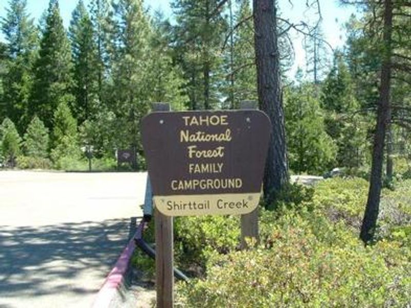
Shirttail Creek
The campground is currently closed. Normal operating season runs April 30 through October 31. Reservations are available through Recreation.gov.
National Forest System Roads
Follow California Vehicle Code on National Forest System Roads
Fireworks and Explosives are always Prohibited
Fireworks and explosives (including explosive targets) are always prohibited on national forest lands. The prohibition of fireworks and exploding targets on national forest system lands is part of a set of permanent fire safety regulations in the Code of Federal Regulations (CFR), listed below.…
Downieville Downhill Closure Order
Closure of identified forest roads and trails for Downieville Downhill.
About
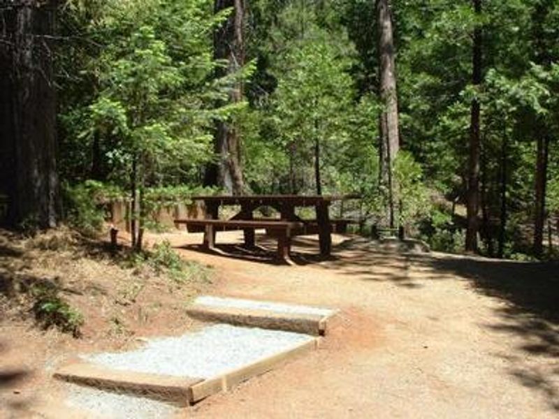
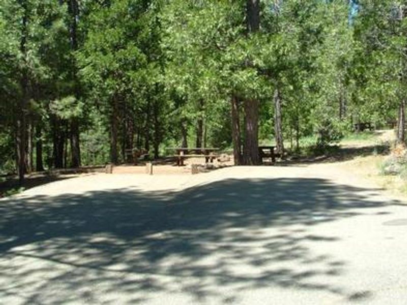
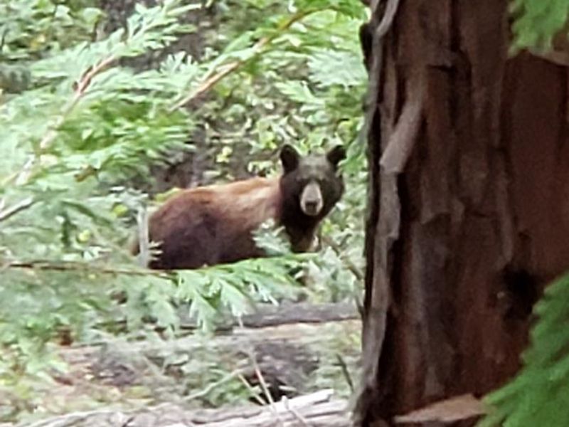
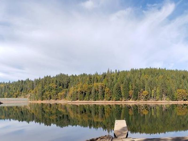
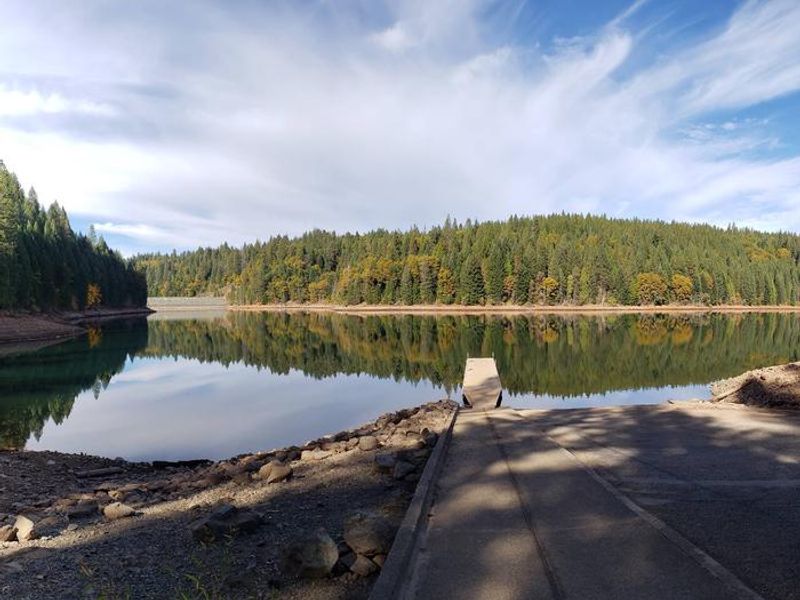
Shirttail Creek Campground occupies a forested hillside on the northwest shore of Sugar Pine Reservoir, a 160-acre lake in Tahoe National Forest about 15 miles from Foresthill. The 30 campsites are spread through a mixed cedar and pine forest along a small creek that feeds the reservoir. Single, double, and triple sites accommodate groups of varying sizes. Recreation centers on the reservoir, with fishing for stocked trout, swimming, and both motorized and non-motorized boating available. A paved accessible trail connects the north and south shores with interpretive signs and shaded benches. The nearby North Fork American Wild and Scenic River provides additional fishing and whitewater opportunities. OHV use is prohibited within the Sugar Pine Complex but a staging area provides access to surrounding trail systems. Summertime temperatures are warm during the day and cool at night at this 3,600-foot elevation. The campground is part of the larger Sugar Pine Recreation Area, which includes Giant Gap Campground, a group site, boat ramp, and day-use picnic area.
Directions
From I-80, take exit 121 (Auburn Ravine Road) to Foresthill and continue east 17 miles to the town of Foresthill. Travel through town about 9 miles to Forest Road 10/Sugar Pine Road. Turn left and continue 9 miles to the Sugar Pine Campgrounds road, approximately 1 mile after crossing Sugar Pine Reservoir dam. Turn right and continue about 1.5 miles, then turn left into the campground.
Location
Amenities
| Water | Yes |
| Fires Allowed | Yes |
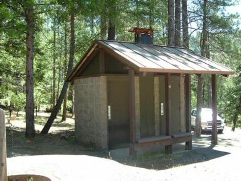
| Toilets | Yes |
| Dump Station | Yes |
| Wifi | No |
| Pets Allowed | Yes |
| Showers | No |
| Electric Hookups | — |
| Water Hookups | — |
| Sewer Hookups | — |
| Camp Store | No |
| Price | $24 - $72 |
Vehicle
| Max RV Length | 100ft |
| Max Trailer Length | — |
| Big Rig Friendly | No |
| Pull Through Sites | No |
Contact
| Phone | +1 (530) 492-5631 |
Cell Service
| AT&T | None |
| Verizon | None |
| T-Mobile | None |
Availability
Photos
Community Posts
No posts yet. Be the first to share your experience!