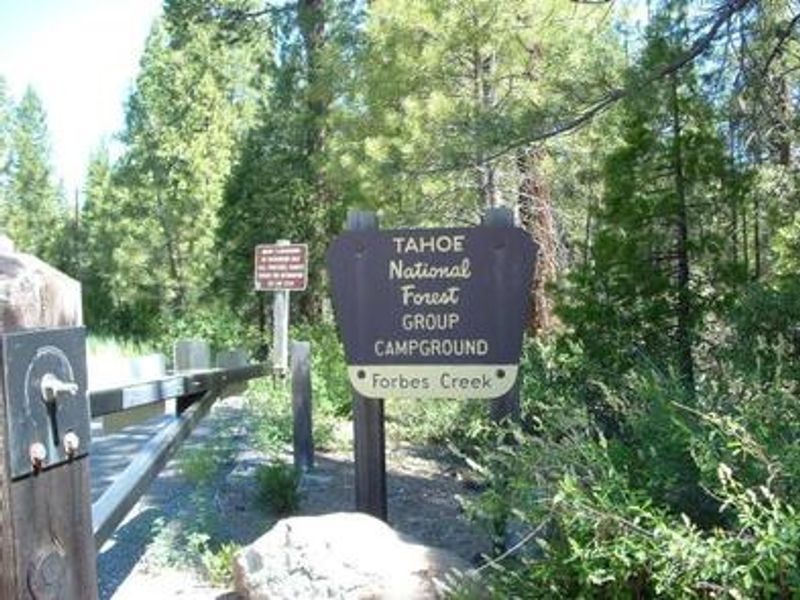
Forbes Creek
Open for the season May 14 through October 11. Reservations required via Recreation.gov. Check-in at 2:00 p.m., check-out at 12:00 p.m. Quiet hours 10:00 p.m. to 6:00 a.m.
National Forest System Roads
Follow California Vehicle Code on National Forest System Roads
Fireworks and Explosives are always Prohibited
Fireworks and explosives (including explosive targets) are always prohibited on national forest lands. The prohibition of fireworks and exploding targets on national forest system lands is part of a set of permanent fire safety regulations in the Code of Federal Regulations (CFR), listed below.…
Downieville Downhill Closure Order
Closure of identified forest roads and trails for Downieville Downhill.
About
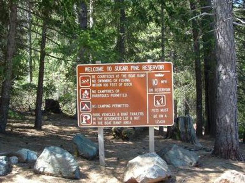
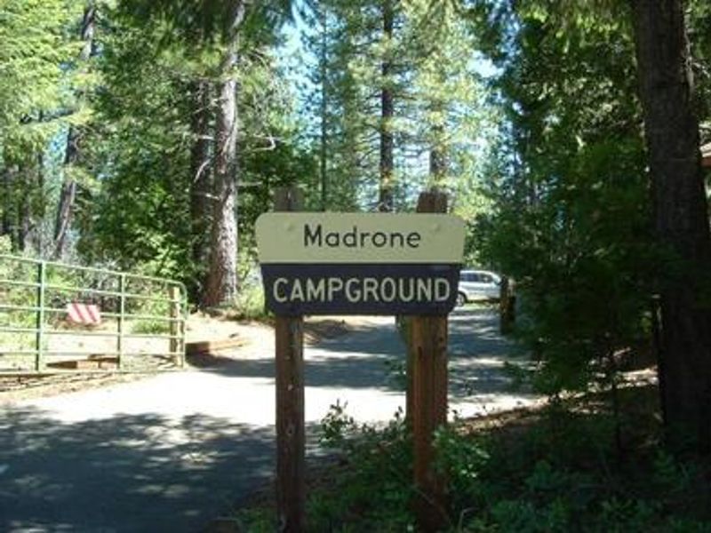
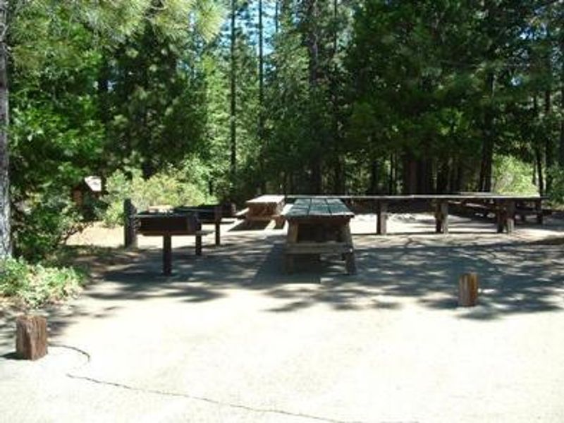
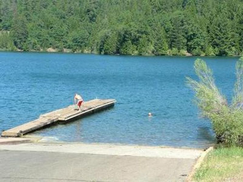
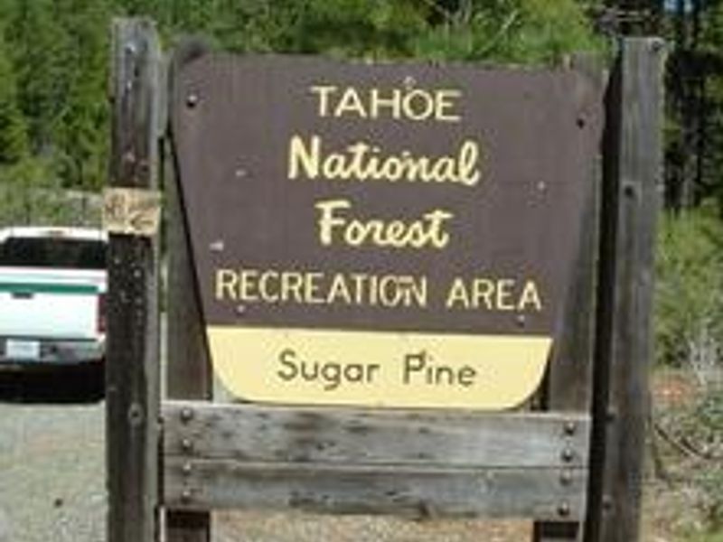
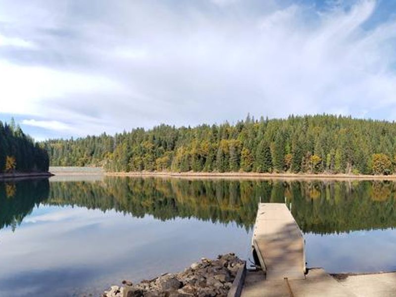
Forbes Creek Group Campground is nestled on the southeast shore of Sugar Pine Reservoir in the Tahoe National Forest, providing an excellent basecamp for group outings. The campground features two reservable group sites, Madrone and Rocky Ridge, each capable of hosting up to 50 people and 18 vehicles. Stands of cedar and ponderosa pine provide ample shade, with the reservoir visible from the campground. Recreational opportunities abound, including fishing, canoeing, swimming, and boating on the reservoir. A non-motorized trail system connects both group sites to the lake and nearby boat ramp. The North Fork of the American River is a short drive away, offering additional fishing and swimming. Kayak, canoe, and paddleboard rentals are available at Sugar Pine Reservoir. Each group site includes a central cooking and picnic area, large campfire circle, multiple picnic tables, and bear boxes for food storage. Vault toilets, potable water (note: high iron content), a dump station, and dumpsters are available. OHV use is prohibited within the Sugar Pine Complex except at designated staging areas.
Directions
Take Interstate 80 to the Foresthill/Auburn exit near Auburn. Continue east for 17 miles to Foresthill. Travel through town about 9 miles to Forest Road 10/Sugar Pine Road. Turn left and continue about 9 miles. Look for the Sugar Pine Recreation Area sign and turn right on the first road after the sign. Continue about a half-mile to the campground.
Location
Amenities
| Water | Yes |
| Fires Allowed | Yes |
| Toilets | Yes |
| Dump Station | Yes |
| Wifi | No |
| Pets Allowed | — |
| Showers | No |
| Electric Hookups | — |
| Water Hookups | — |
| Sewer Hookups | — |
| Camp Store | No |
| Price | $132 |
Vehicle
| Max RV Length | 45ft |
| Max Trailer Length | — |
| Big Rig Friendly | — |
| Pull Through Sites | No |
Contact
| Phone | +1 (530) 367-2224 |
Cell Service
| AT&T | None |
| Verizon | None |
| T-Mobile | None |
Availability
Photos
Community Posts
No posts yet. Be the first to share your experience!