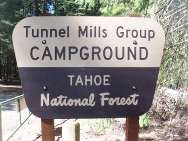
Tunnel Mills Ii
The campground is currently closed for early-season maintenance and reopens May 21, 2026. Reservations are available through Recreation.gov at $99 per night for group sites. Check-in is at 2:00 PM and check-out is at noon.
National Forest System Roads
Follow California Vehicle Code on National Forest System Roads
Fireworks and Explosives are always Prohibited
Fireworks and explosives (including explosive targets) are always prohibited on national forest lands. The prohibition of fireworks and exploding targets on national forest system lands is part of a set of permanent fire safety regulations in the Code of Federal Regulations (CFR), listed below.…
Downieville Downhill Closure Order
Closure of identified forest roads and trails for Downieville Downhill.
About
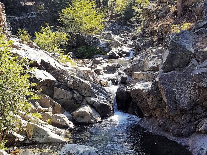
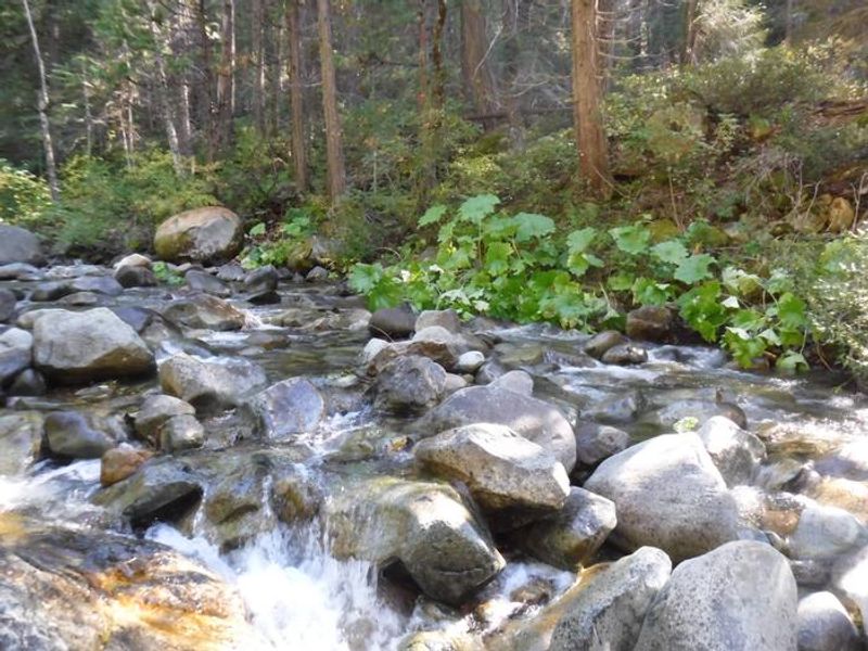
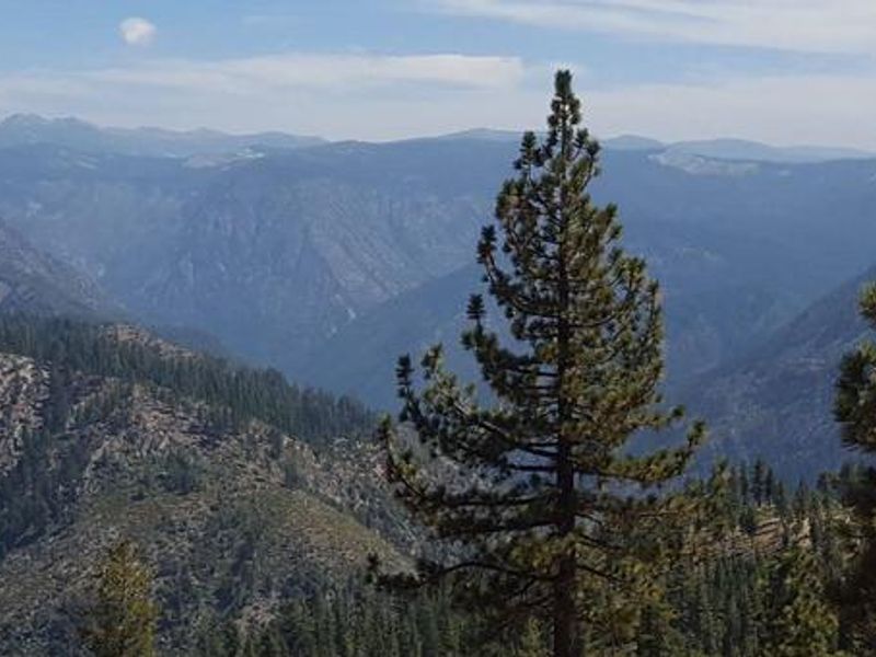
Tunnel Mills II is a secluded group campground nestled along the East Fork of the North Fork of the North Fork American River in the Tahoe National Forest. Shaded by a forest of cedar, pine, and fir trees, this creekside campground offers a quiet retreat for groups seeking a primitive camping experience in north-central California. The campground features two group sites, each accommodating up to 30 people and 6 vehicles. Site 1 permits tents, RVs, and trailers up to 30 feet in length with a 40-foot gravel driveway, while Site 2 is designated for tent camping only. Both sites include picnic tables and campfire rings. Vault toilets are provided, but there is no potable water on site; campers can obtain drinking water at North Fork Campground about one mile north, or purify water from the creek. Rainbow trout fishing in the river is a popular activity, and the surrounding area provides access to hiking trails, OHV trails, and hunting opportunities. The nearby North Fork American Wild and Scenic River canyon offers foot trail access, with additional trails available at Grouse Ridge Non-Motorized Area and Donner Summit a short distance east on I-80. Note that cell phone service is not available at this remote location.
Directions
From I-80, take the Emigrant Gap exit (exit 158A eastbound or 158B westbound). Turn right onto Texas Hill Road toward Emigrant Gap and continue approximately 8 miles. Turn right into the campground.
Amenities
| Water | No |
| Fires Allowed | Yes |
| Toilets | Yes |
| Dump Station | — |
| Wifi | No |
| Pets Allowed | Yes |
| Showers | No |
| Electric Hookups | — |
| Water Hookups | — |
| Sewer Hookups | — |
| Camp Store | No |
| Price | $99 |
Vehicle
| Max RV Length | 30ft |
| Max Trailer Length | 30ft |
| Big Rig Friendly | No |
| Pull Through Sites | No |
Contact
| Phone | +1 (530) 265-4531 |
Cell Service
| AT&T | None |
| Verizon | Yes |
| T-Mobile | None |
Availability
Photos
Community Posts
No posts yet. Be the first to share your experience!