Sex Peak. Lookout Rental
Closed for the season. The lookout typically opens late June and operates through mid-October, weather and road conditions permitting. Road 2222 is subject to seasonal closures. Reservations are available through Recreation.gov with a 5-night maximum stay and mandatory 7-day break between reservations.
Northern Region Camping & Target Restrictions, Pallet Prohibition
This order defines the maximum length of occupation at a single location or cumulatively at any number of locations within a calendar year, within the states of Montana, North Dakota, South Dakota, and Idaho
Weed Free Forage & Mulch Products Order for the Northern Region
It is illegal to possess, store or transport straw, hay, grain, seed or other forage or mulch products on Forest Service lands without documentation that the product is certified as “weed free” by a state certification process that meets or exceeds the North American Weed Free Forage standards.
R1-2023-02 - NCDE Food and Wildlife Attractant Storage Order
Northern Continental Divide Ecosystem Food/Wildlife Attractant Storage Order for the Flathead, Lolo, Kootenai, Helena-Lewis and Clark, and Beaverhead-Deerlodge National Forests within the Northern Continental Divide Ecosystem.
About
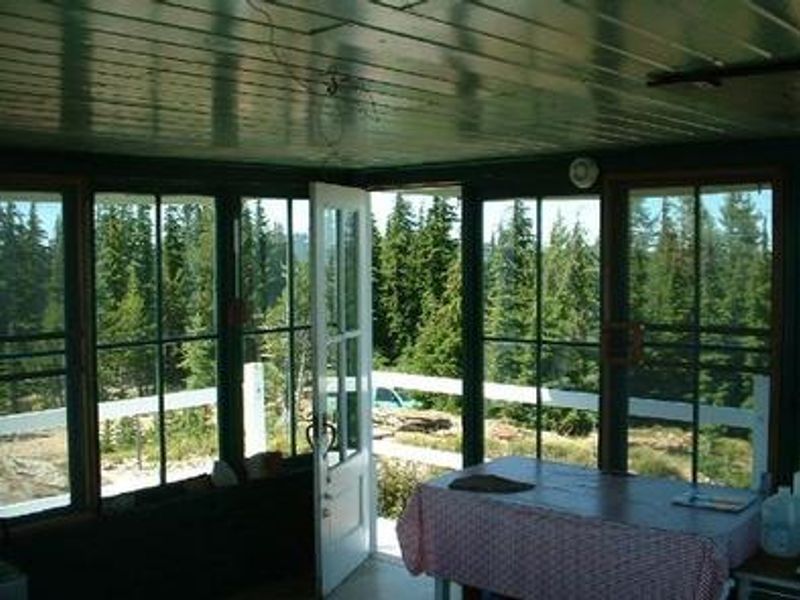
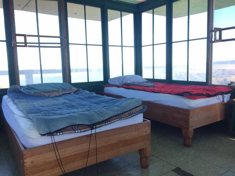
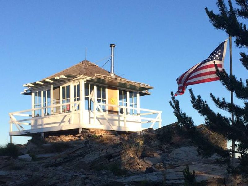
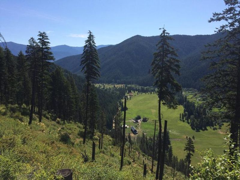
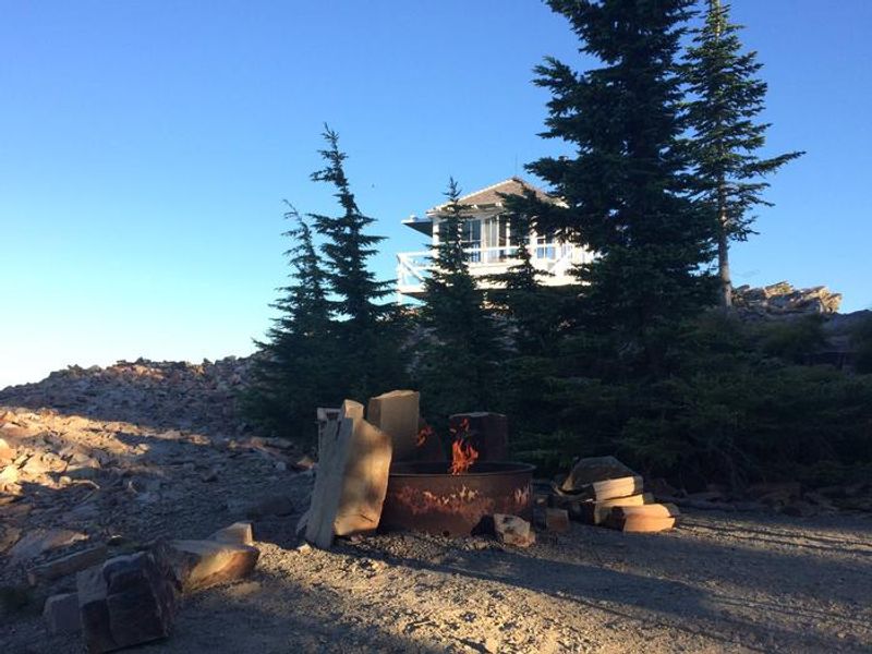
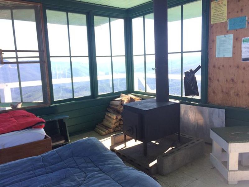
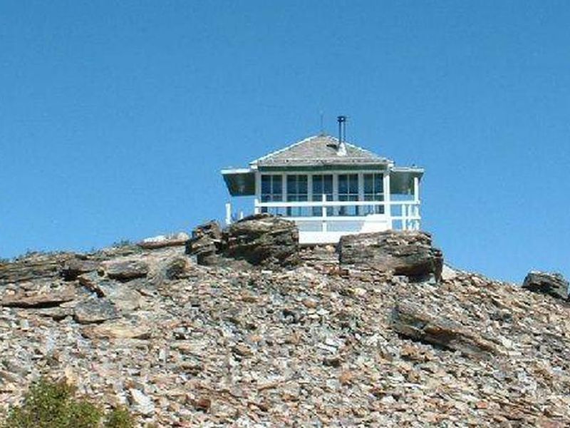
Sex Peak Lookout is a historic fire lookout tower situated at 5,772 feet elevation in the Kootenai National Forest of northwest Montana. The original lookout was constructed in the early 1920s and replaced by the current structure in 1948. The 14x14-foot cabin features windows on all sides and is encircled by a catwalk, providing sweeping panoramic views of Clarks Fork Valley, the Bitterroot Mountains to the west, and the Cabinet Range to the east. The lookout sleeps up to 4 people on two twin beds with mattresses. Amenities include a table, chair, bench, and a wood stove for heat with firewood provided. An outhouse with vault toilet and an outdoor campfire ring are available. There is no electricity or potable water, so guests must bring drinking water, bedding, cooking gear, lanterns or flashlights, matches, toilet paper, first aid supplies, trash bags, and an ice chest. The area is home to diverse wildlife including deer, elk, moose, grizzly bears, black bears, wolves, and mountain lions. A mandatory food storage order requires all food and garbage to be stored in bear-resistant containers or a closed vehicle when unattended. Old logging roads provide opportunities for hiking and mountain biking, and wild berries ripen in the area during summer.
Directions
From Cabinet Ranger Station, travel approximately 11 miles southeast on Highway 200 and turn right onto Big Beaver Creek Road 152 (Faro Lane). Drive south 2 miles and take a right at the T junction. Follow this road for approximately 9 miles. After passing Jackpine Flats camping area, stay right at the split onto Road 2222 and follow for approximately 8.5 miles to the lookout. The easterly portion of Road 2222 is subject to seasonal closures; the advised route is via the right turn just past Jackpine Flats.
Amenities
| Water | No |
| Fires Allowed | Yes |
| Toilets | Yes |
| Dump Station | No |
| Wifi | No |
| Pets Allowed | Yes |
| Showers | No |
| Electric Hookups | — |
| Water Hookups | — |
| Sewer Hookups | — |
| Camp Store | No |
| Price | $45 |
Vehicle
| Max RV Length | — |
| Max Trailer Length | — |
| Big Rig Friendly | No |
| Pull Through Sites | No |
Contact
| Phone | +1 (406) 827-3533 |
Cell Service
| AT&T | Yes |
| Verizon | Yes |
| T-Mobile | None |
Availability
Photos

Community Posts
No posts yet. Be the first to share your experience!