Minton Peak Lookout
Currently closed for the season. Typically opens late June and operates through mid-October, with access dependent on weather and road conditions. Reservations available through Recreation.gov.
Northern Region Camping & Target Restrictions, Pallet Prohibition
This order defines the maximum length of occupation at a single location or cumulatively at any number of locations within a calendar year, within the states of Montana, North Dakota, South Dakota, and Idaho
Weed Free Forage & Mulch Products Order for the Northern Region
It is illegal to possess, store or transport straw, hay, grain, seed or other forage or mulch products on Forest Service lands without documentation that the product is certified as “weed free” by a state certification process that meets or exceeds the North American Weed Free Forage standards.
R1-2023-02 - NCDE Food and Wildlife Attractant Storage Order
Northern Continental Divide Ecosystem Food/Wildlife Attractant Storage Order for the Flathead, Lolo, Kootenai, Helena-Lewis and Clark, and Beaverhead-Deerlodge National Forests within the Northern Continental Divide Ecosystem.
About
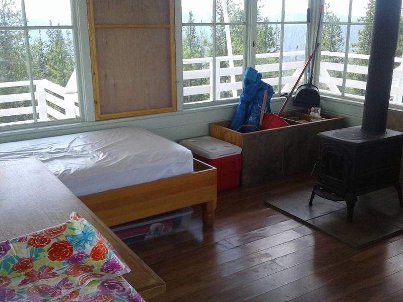
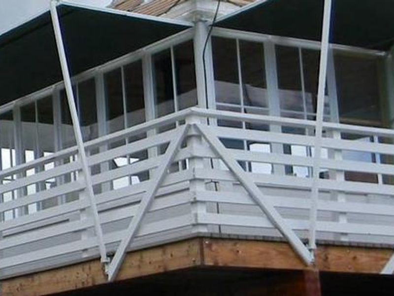
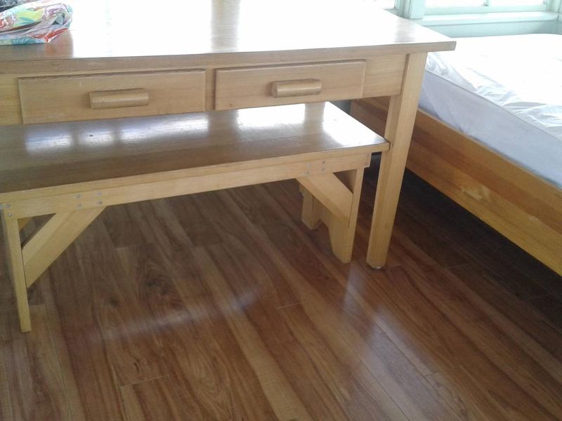
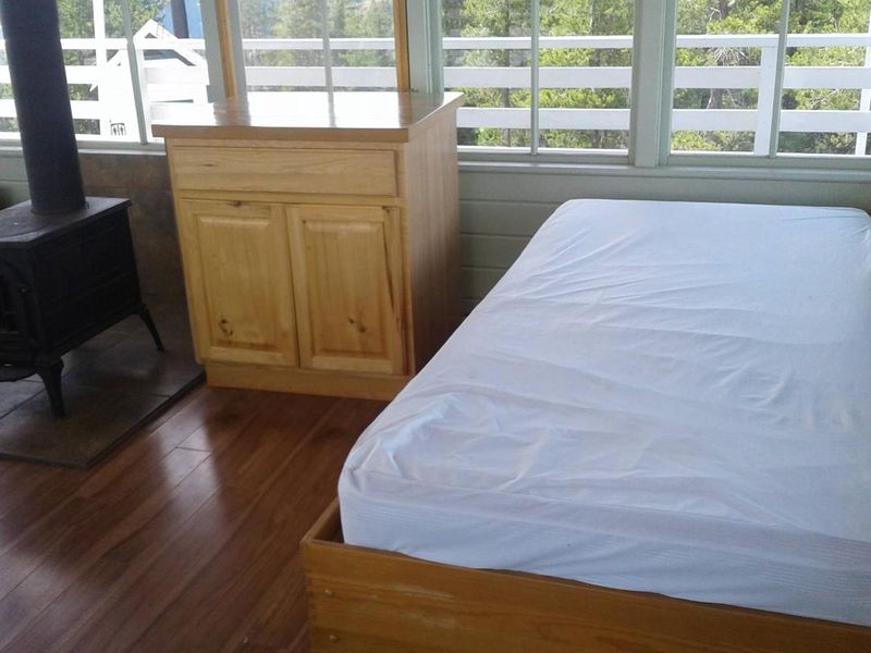
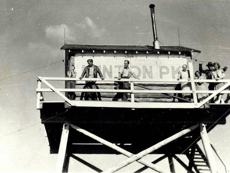
Minton Peak Lookout offers a unique overnight experience in a historic fire lookout tower within the Kootenai National Forest. The original lookout was constructed in 1932, replaced in 1968, and completely rebuilt in 2011. Named after Col. David Minton, an Ohio cavalryman who homesteaded near the mouth of Minton Creek, the tower sits at an elevation of 5,351 feet and is accessible by car when roads are clear. The 14x14-foot cabin is elevated 5 feet off the ground on a tower with a catwalk and panoramic windows on all sides. Inside, guests will find two twin beds with mattresses, a table and chairs, a wood stove for heat with firewood supplied, and a two-burner propane cooktop. An outhouse with a vault toilet is located nearby. There is no electricity, running water, or cell service. The lookout provides sweeping views of the Clark Fork Valley, the Bitterroot Mountains to the west, and the Cabinet Range to the east. Clear nights offer exceptional stargazing. Guests should pack in all drinking water, propane for cooking, bedding, lanterns, and food. All trash and food waste must be packed out. Maximum stay is 5 consecutive nights with a 7-day break required between reservations.
Directions
From Trout Creek, take Cedar Street to Pine Street. Turn right and follow for 5.89 miles (Pine Street becomes Marten Creek Road). Turn left on Minton Peak Road 322 and follow for 7.9 miles to Road 322A. Follow Road 322A for 0.62 miles to the lookout.
Amenities
| Water | No |
| Fires Allowed | Yes |
| Toilets | Yes |
| Dump Station | No |
| Wifi | No |
| Pets Allowed | — |
| Showers | No |
| Electric Hookups | — |
| Water Hookups | — |
| Sewer Hookups | — |
| Camp Store | No |
| Price | $55 |
Vehicle
| Max RV Length | — |
| Max Trailer Length | — |
| Big Rig Friendly | No |
| Pull Through Sites | No |
Contact
| Phone | +1 (406) 827-3533 |
Cell Service
| AT&T | Yes |
| Verizon | None |
| T-Mobile | None |
Availability
Photos
Community Posts
No posts yet. Be the first to share your experience!