Rosebud Atv
Open for the 2026 season. Season runs from mid-May through snow closure. Some sites are reservable via Recreation.gov while others are first-come-first-served. 16-day maximum stay limit within a 30-day period.
Flood Watch issued July 21 at 5:13PM MDT until July 22 at 3:00AM MDT by NWS Salt Lake City UT
* WHAT...Flash flooding caused by excessive rainfall continues to be possible. * WHERE...A portion of Utah, including the following areas, Castle Country, Central Mountains, Eastern Juab/Millard Counties, San Rafael Swell, Sanpete Valley, Sevier Valley, Wasatch Plateau/Book Cliffs, Western Millard and Juab Counties, Bryce Canyon Country, Capitol Reef National Park and Vicinity, Glen Canyon Recreation Area/Lake Powell, South Central Utah, Southern Mountains, Upper Sevier River Valleys, Western Canyonlands, Lower Washington County, Southwest Utah and Zion National Park. * WHEN...Until 3 AM MDT Wednesday. * IMPACTS...Excessive rainfall may result in flooding of slot canyons, normally dry washes, slick rock areas, recent burn scars including Forsyth, France Canyon, Cottonwood, Silver King, and Monroe Canyon, and other low-lying and flood-prone locations. Flooding may occur in poor drainage and urban areas. * ADDITIONAL DETAILS... - http://www.weather.gov/safety/flood
Weed Free Hay Order 04-2021-03
Prohibited by this order: Possessing, storing, or transporting non-pelletized hay, straw, or mulch in the Intermountain Region, unless it is certified as weed free by the state where the product originated.
Fireworks and Spark Arrestor Order 04-2021-01
Prohibited by this order: Possessing, discharging, or using any kind of firework or other pyrotechnic device. 36 CFR §261.52(t)Operating or using any internal or external combustion engine without a spark arresting device properly installed, maintained and in effective working order as described…
About
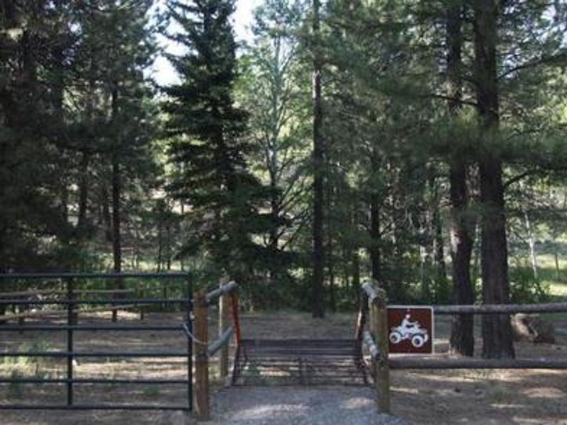
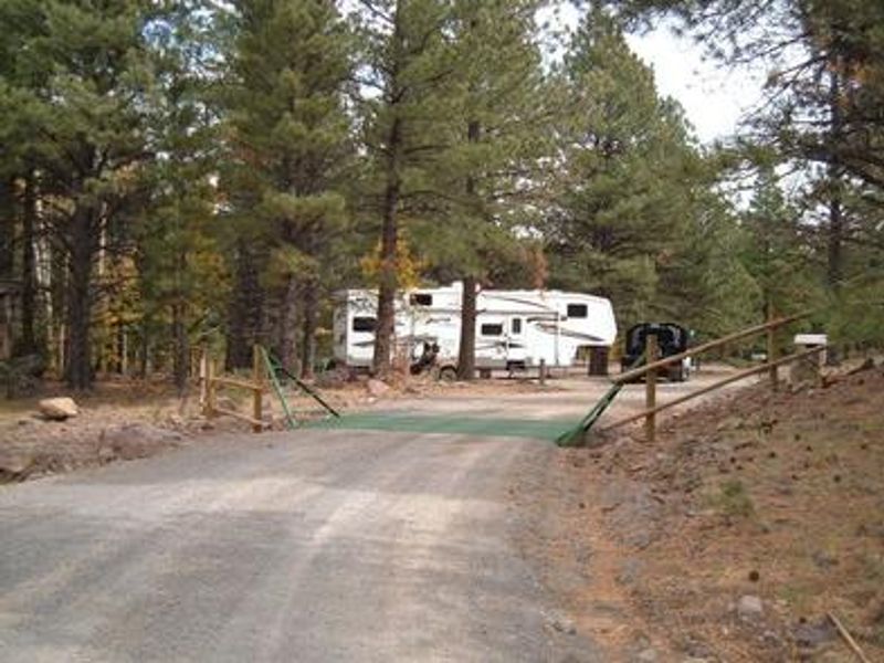
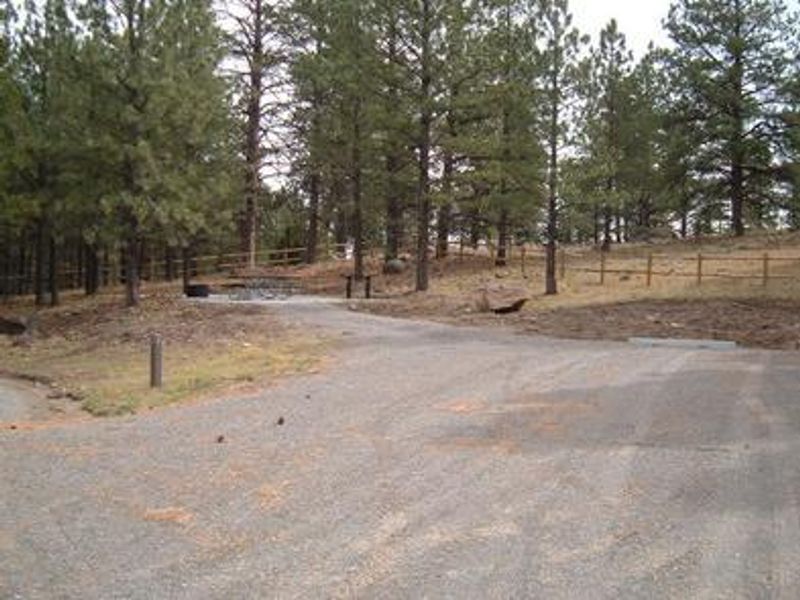
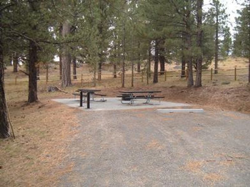
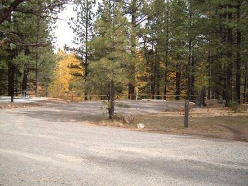
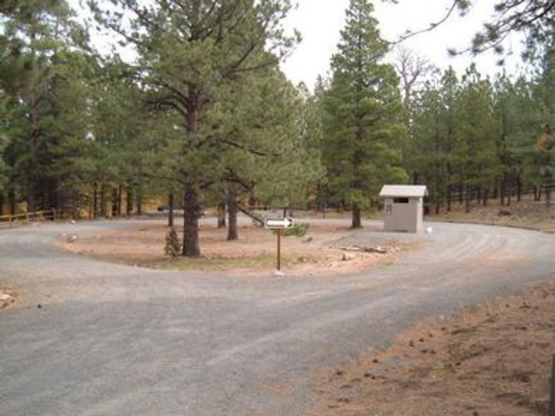
Rosebud ATV Campground is a small, primitive campground located high on the Colorado Plateau in the Fishlake National Forest at 8,300 feet elevation. Situated in a ponderosa pine forest on the east side of Boulder Mountain, Pleasant Creek flows near the site. The campground is designed for off-road vehicle enthusiasts, providing direct access to the Rosebud ATV Trail. The trail leads to Lower Bowns Reservoir, offering fishing and boating opportunities. Capitol Reef National Park lies approximately 30 miles to the east, featuring excellent hiking trails, historic sites, and breathtaking red rock scenery. Utah Highway 12, a National Scenic Byway known for its stunning canyon and desert landscapes, passes nearby. The campground has four single-family sites with vault toilets and picnic tables. No potable water is available, so campers must bring their own supply. This is a pack-it-in/pack-it-out facility with no trash service. Quiet hours are enforced from 10 p.m. to 6 a.m.
Directions
From Torrey, Utah, head east on UT-24 for approximately 1 mile. Turn right (south) onto UT-12 for 17.1 miles. Turn left (east) on FR 168 for 0.6 miles. Turn left on FR 3973 for 0.3 miles to reach the campground.
Amenities
| Water | No |
| Fires Allowed | — |
| Toilets | Yes |
| Dump Station | No |
| Wifi | No |
| Pets Allowed | Yes |
| Showers | No |
| Electric Hookups | — |
| Water Hookups | — |
| Sewer Hookups | — |
| Camp Store | No |
| Price | $20 |
Vehicle
| Max RV Length | — |
| Max Trailer Length | — |
| Big Rig Friendly | — |
| Pull Through Sites | No |
Cell Service
| AT&T | None |
| Verizon | None |
| T-Mobile | None |
Availability
Photos
Community Posts
No posts yet. Be the first to share your experience!