Backcountry Camping
Open year-round. Free backcountry permits are available in person at the visitor center during operating hours (typically 8:00 am to 4:30 pm, hours vary seasonally). Some backcountry access roads may be impassable after storms or during winter.
Flood Watch issued October 11 at 6:42AM MDT until October 12 at 6:00PM MDT by NWS Salt Lake City UT
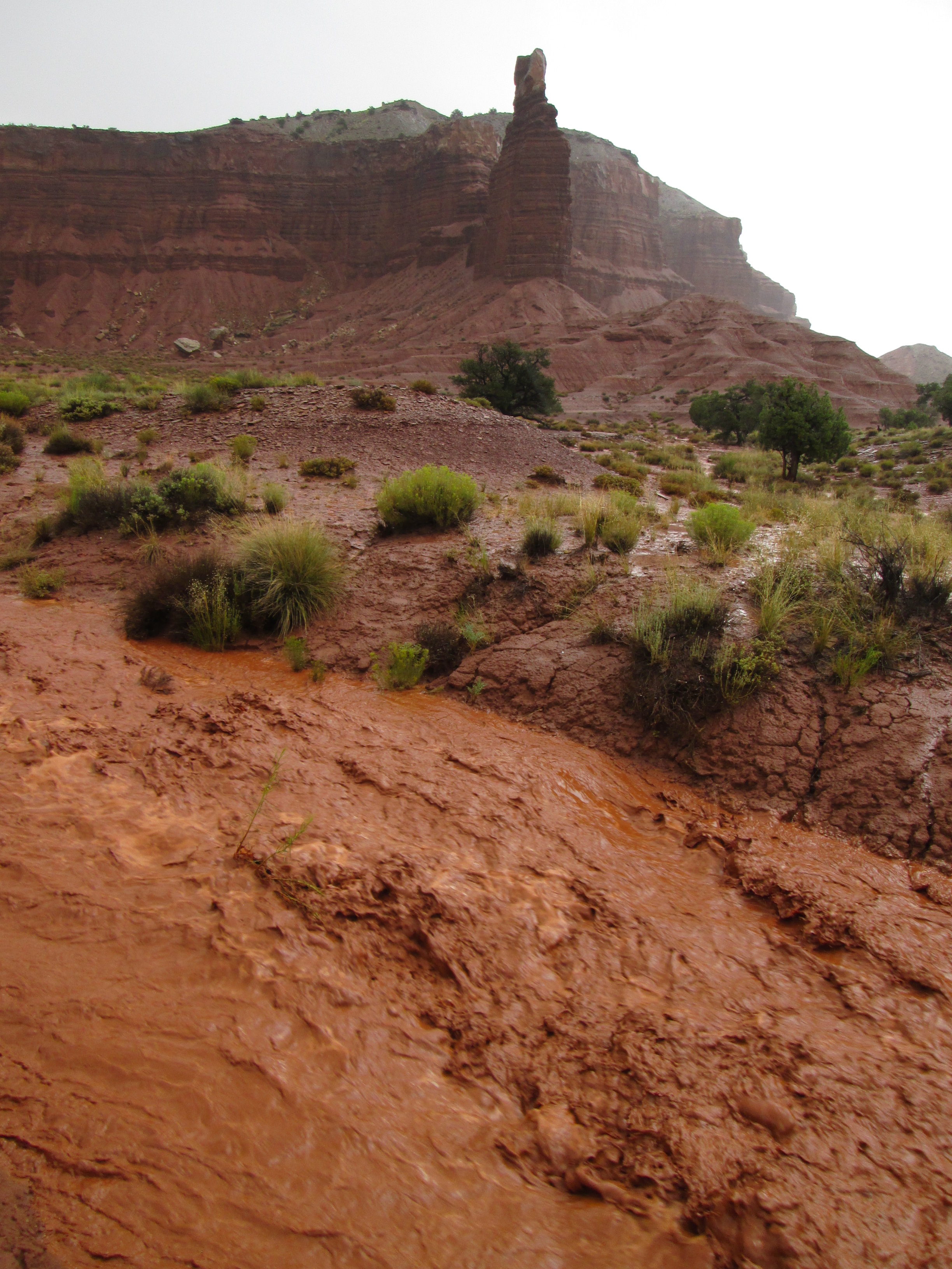
* WHAT...Flash flooding caused by excessive rainfall continues to be possible. * WHERE...A portion of Utah, including the following areas, Castle Country, Central Mountains, Eastern Juab/Millard Counties, San Rafael Swell, Sanpete Valley, Sevier Valley, Wasatch Plateau/Book Cliffs, Bryce Canyon Country, Capitol Reef National Park and Vicinity, Glen Canyon Recreation Area/Lake Powell, South Central Utah, Southern Mountains, Upper Sevier River Valleys, Western Canyonlands, Lower Washington County, Southwest Utah and Zion National Park. This also includes recent burn scars such as Forsyth, Cottonwood, Silver King, France Canyon, and Monroe Canyon. * WHEN...Through Monday afternoon. * IMPACTS...Excessive runoff may result in flooding of rivers, creeks, streams, dry washes, slot canyons, and other low-lying and flood-prone locations such as slickrock areas and recent burn scars. Creeks and streams may rise out of their banks. Flooding may occur in poor drainage and urban areas. * ADDITIONAL DETAILS... - Anomalously high moisture from the remnants of Tropical Storm Rachel will continue to impact the region. While this is expected to be a long duration rainfall event, scattered instances of heavier rainfall rates are expected with stronger storms yielding flash flooding concerns given saturated soils and prior burn scars. - http://www.weather.gov/safety/flood
About
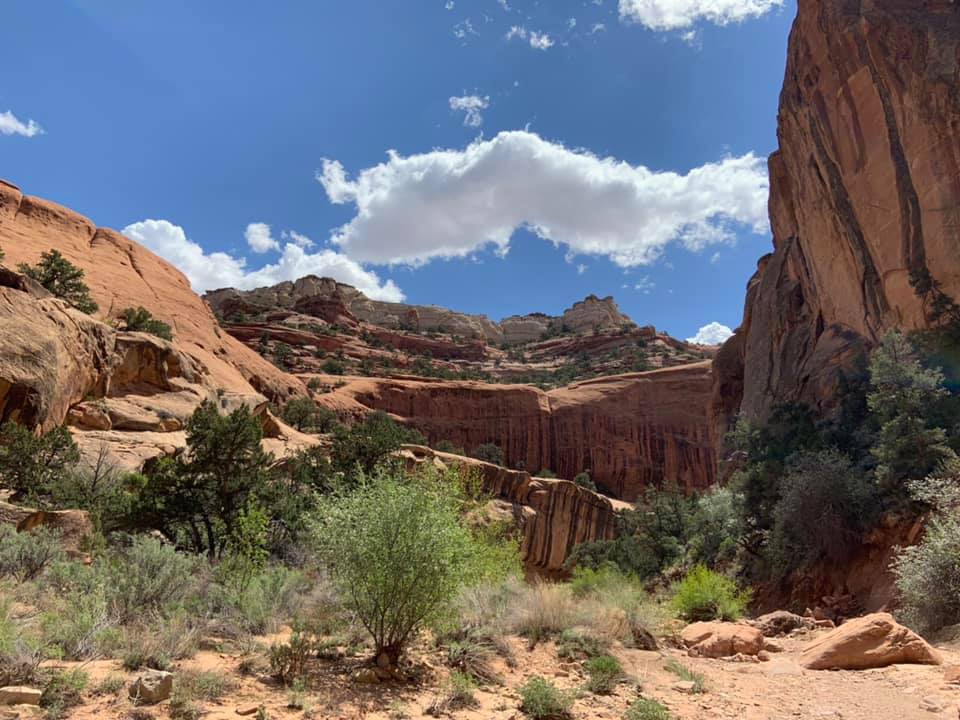
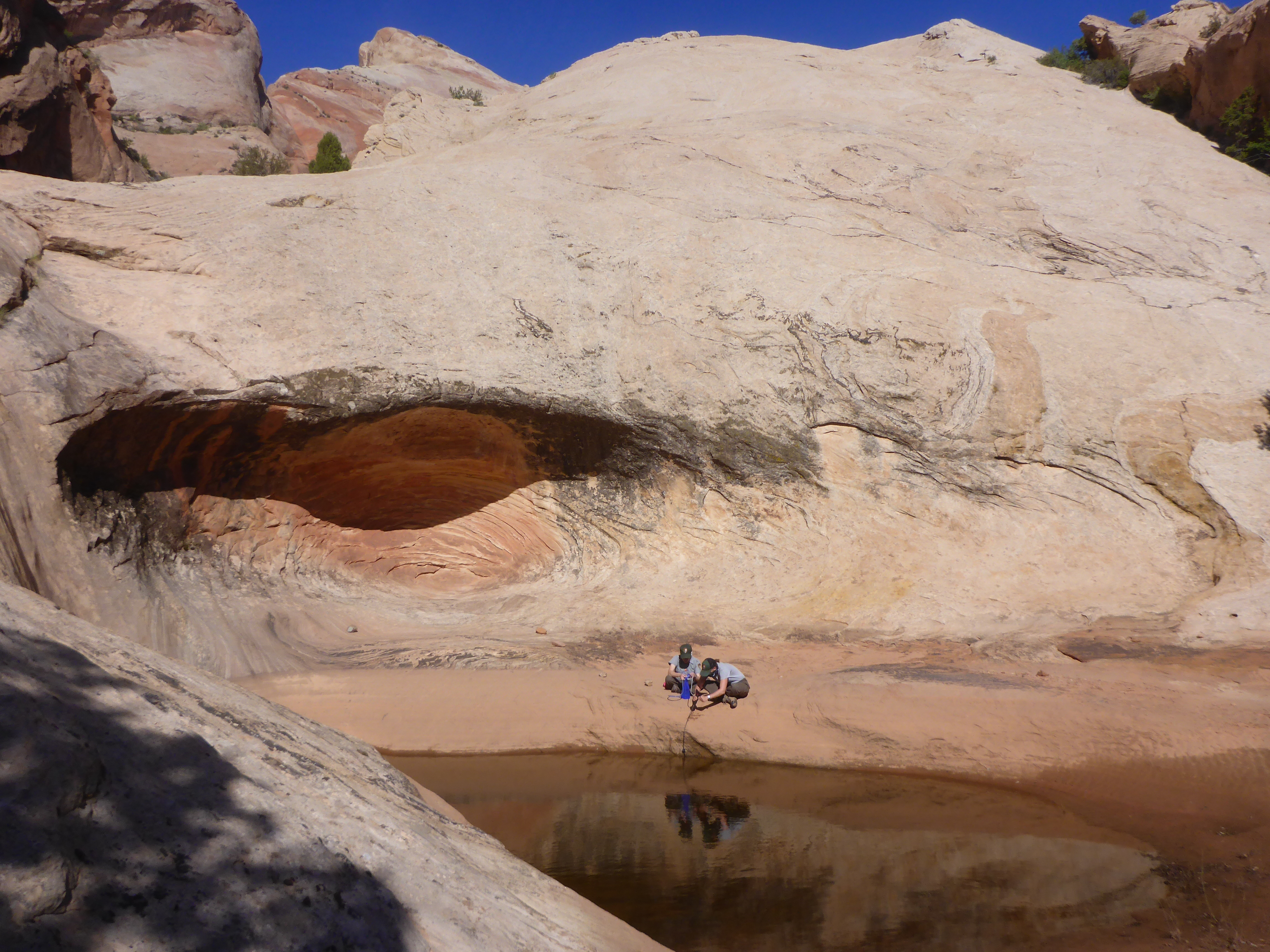
Capitol Reef National Park's backcountry provides opportunities for multi-day backpacking through colorful slot canyons, remote mesas, and the dramatic landscape of the Waterpocket Fold. This dispersed camping option suits experienced backpackers comfortable with route-finding and desert survival skills. Popular areas include Lower Muley Twist Canyon, Halls Creek Narrows, and various routes connecting through the park's 240,000 acres. Campers must obtain a free permit in person at the visitor center before starting their trip. All water must be purified from natural sources, and human waste must be buried at least 6 inches deep, 300 feet from water. Fires are prohibited; backpackers must use camp stoves. Camping is allowed at least 0.5 mile from roads and trailheads and 300 feet from water sources, archaeological sites, and trail junctions. Group size is limited to 12 people. Stay limits are 3 nights per location, 14 days per trip, and 30 days per calendar year. Access to remote areas like Cathedral Valley and Waterpocket District requires high-clearance vehicles.
Directions
From Torrey, Utah, drive east on Highway 24 for approximately 11 miles to reach the Capitol Reef Visitor Center where backcountry permits are issued. The park is located in south-central Utah.
Amenities
| Water | No |
| Fires Allowed | No |
| Toilets | No |
| Dump Station | No |
| Wifi | No |
| Pets Allowed | No |
| Showers | No |
| Electric Hookups | — |
| Water Hookups | — |
| Sewer Hookups | — |
| Camp Store | No |
| Price | $0 |
Vehicle
| Max RV Length | — |
| Max Trailer Length | — |
| Big Rig Friendly | No |
| Pull Through Sites | No |
Contact
| care_information@nps.gov | |
| Phone | +1 (435) 425-3791 |
Cell Service
| AT&T | None |
| Verizon | None |
| T-Mobile | None |
Photos
Community Posts
No posts yet. Be the first to share your experience!