Capitol Reef Np Group Campground
Open mid-April through mid-October. Closed every Tuesday and Wednesday for maintenance. Reservations required via Recreation.gov. No first-come, first-served availability.
Flood Watch issued October 9 at 1:04PM MDT until October 12 at 6:00PM MDT by NWS Salt Lake City UT
Moisture associated with the remnants of Tropical Storm Rachel will impact Utah this weekend bringing widespread rainfall totals ranging from 2-4". Some highly localized amounts to 6-8" are also possible, particularly across terrain-favored locations in southwestern Utah, the Book Cliffs, and Bear River Range. * WHAT...Flash flooding caused by excessive rainfall is possible. * WHERE...A portion of Utah, including the following areas, Castle Country, Central Mountains, Eastern Juab/Millard Counties, San Rafael Swell, Sanpete Valley, Sevier Valley, Wasatch Plateau/Book Cliffs, Bryce Canyon Country, Capitol Reef National Park and Vicinity, Glen Canyon Recreation Area/Lake Powell, South Central Utah, Southern Mountains, Upper Sevier River Valleys, Western Canyonlands, Lower Washington County, Southwest Utah and Zion National Park. This also includes recent burn scars such as Forsyth, Cottonwood, Silver King, France Canyon, and Monroe Canyon. * WHEN...From Saturday afternoon through Monday afternoon. * IMPACTS...Excessive runoff may result in flooding of rivers, creeks, streams, dry washes, slot canyons, and other low-lying and flood-prone locations such as slickrock areas and recent burn scars. Creeks and streams may rise out of their banks. Flooding may occur in poor drainage and urban areas. * ADDITIONAL DETAILS... - Anomalously high moisture is forecast to impact the region with the arrival of the remnants of Tropical Storm Rachel. While this is expected to be a long duration rainfall event, scattered instances of heavier rainfall rates are expected with stronger storms yielding flash flooding concerns given saturated soils and prior burn scars. - http://www.weather.gov/safety/flood
From Recreation.gov
Reef Ride Bike Days 2026- On September 19 and 26, 2026 from sunrise to mid-afternoon the Scenic Drive will be closed to vehicles for this special event. Vehicles will still have access to the Fruita area, including the campground and Gifford House.
About
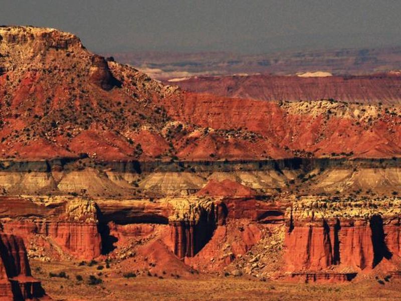
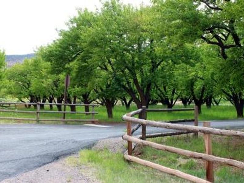
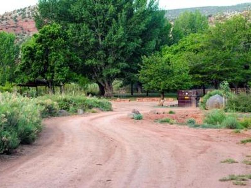
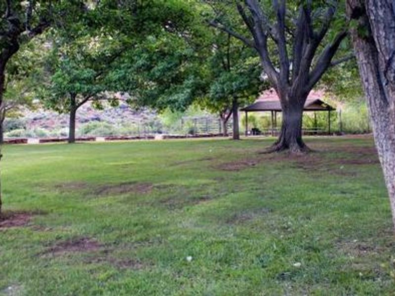
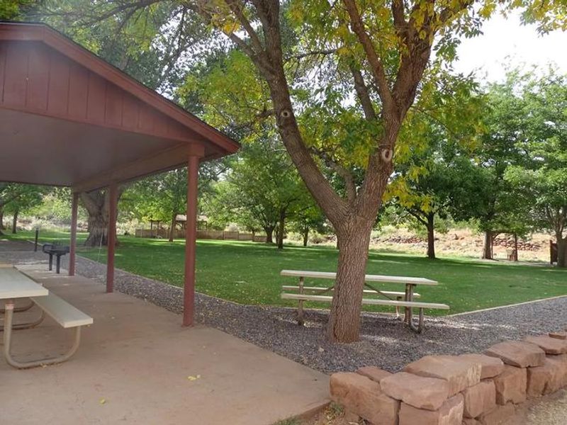
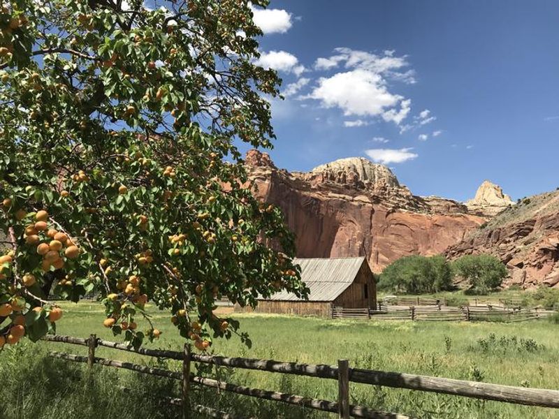
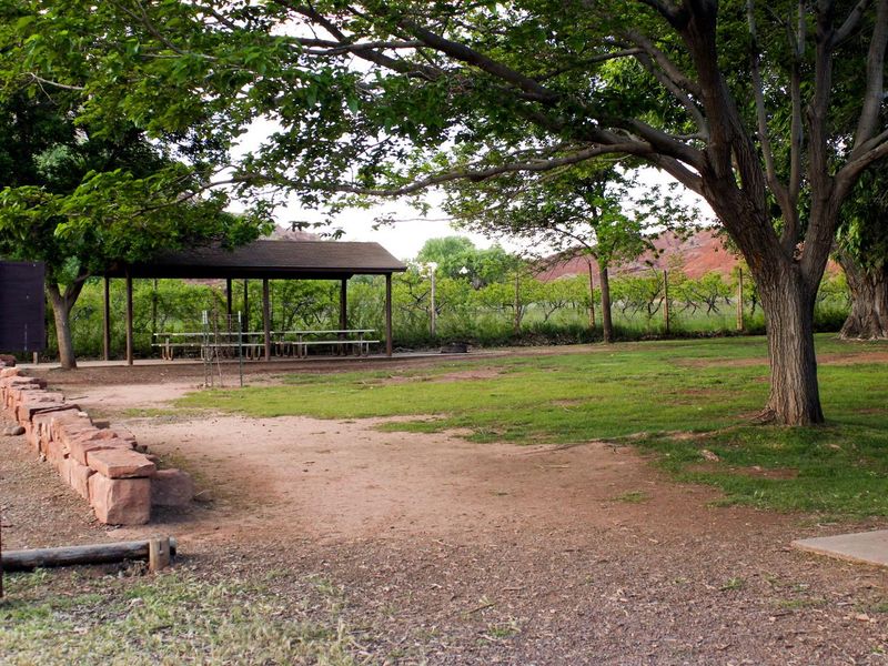
Capitol Reef's Group Campsite provides a semi-shaded, grassy retreat in the park's historic Fruita district, surrounded by towering red rock cliffs and historic orchards along the Fremont River at approximately 5,500 feet elevation. The site is designed for organized groups of up to 40 people and 10 vehicles, with two covered pavilions for gatherings, designated tent pads, restrooms with flush toilets, potable water faucets, a utility sink, a fire pit, and an above-ground grill. The location offers easy walking access to Fruita Campground's amenities, the amphitheater, picnic areas, and trailheads for hikes like Capitol Gorge and Goosenecks. The nearby Gifford Homestead store and museum showcases Mormon pioneer history, and the surrounding orchards allow fruit picking when in season. Generator use is restricted to 8-10am and 6-8pm. Reservations are required through Recreation.gov on a 12-month rolling basis. The site is limited to vehicles 27 feet or shorter, as longer vehicles cannot turn around. Trucks with trailers count as two vehicles toward the 10-vehicle maximum.
Directions
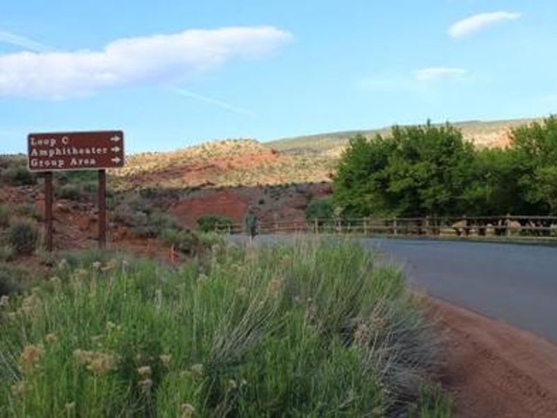
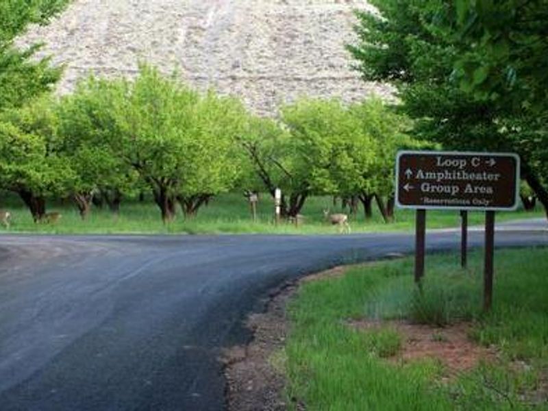
From Interstate 70 westbound, take Utah Highway 24 west at exit 149 toward Hanksville, continuing 80 miles to the park Visitor Center. The Group Campsite is approximately one mile south of the Visitor Center near Loop C of Fruita Campground.
Amenities
| Water | Yes |
| Fires Allowed | Yes |
| Toilets | Yes |
| Dump Station | Yes |
| Wifi | Yes |
| Pets Allowed | Yes |
| Showers | No |
| Electric Hookups | — |
| Water Hookups | — |
| Sewer Hookups | — |
| Camp Store | No |
| Price | $125 |
Vehicle
| Max RV Length | 27ft |
| Max Trailer Length | 27ft |
| Big Rig Friendly | No |
| Pull Through Sites | No |
Contact
| care_fees@nps.gov | |
| Phone | +1 (435) 425-3791 |
Cell Service
| AT&T | Yes |
| Verizon | None |
| T-Mobile | None |
Availability
Photos
Community Posts
No posts yet. Be the first to share your experience!