Rock Crossing Campground
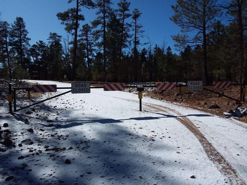
Open for the 2026 season. The campground operates from early May through late September. Some sites are reservable via Recreation.gov while others remain first-come, first-served. Fire danger is currently high; campfires are allowed in designated rings but are subject to forest fire restrictions.
Flood Watch issued October 9 at 12:59PM MST until October 12 at 5:00AM MST by NWS Flagstaff AZ
* WHAT...Flash flooding caused by excessive rainfall is possible. * WHERE...Yavapai, western Coconino, northern Gila, and far southern Navajo counties. * WHEN...From Saturday morning through late Sunday night. * IMPACTS...Flash flooding will be possible in creeks, normally dry washes, swimming holes, and over recently burned areas. Low-water crossings may be flooded. * ADDITIONAL DETAILS... - A upper-level trough will help pull moisture from the remnants of Tropical Storm Rachel up into western Arizona to produce showers and thunderstorms Saturday, followed by extended periods of rainfall through at least Sunday. Thunderstorms will have the potential to produce heavy rainfall that could lead to flash flooding, while extended periods of rain can lead to elevated streams, rivers, and flow through washes. Greatest risk of heavy rainfall looks be along higher terrain due to upsloping. - Additional information is available at weather.gov/flagstaff.
Wind Advisory issued October 9 at 12:58PM MST until October 11 at 8:00PM MST by NWS Flagstaff AZ
* WHAT...South winds 25 to 35 mph with gusts up to 50 mph expected. * WHERE...All of central and northern Arizona, including Apache, Navajo, Coconino, Yavapai and northern Gila counties. * WHEN...From 8 AM MST /9 AM MDT/ to 8 PM MST /9 PM MDT/ Sunday. * IMPACTS...Gusty winds will blow around unsecured objects. Tree limbs could snap resulting in a few power outages. Travel will be difficult, especially for high profile vehicles. * ADDITIONAL DETAILS...A strong upper-level trough along with the remnants of Tropical Storm Rachel will create a synoptic pattern supportive of strong gusts across northern Arizona, especially along the higher terrain.
Walker Hill area temporary closure for pile burns
The Walker Hill area near Bellemont will temporarily close due to ongoing pile burns from Oct. 11, 2026 to Nov. 11, 2026.
About
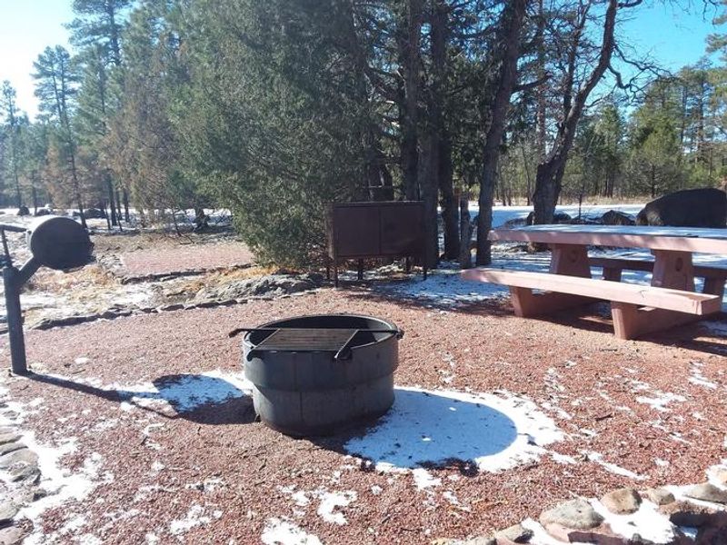
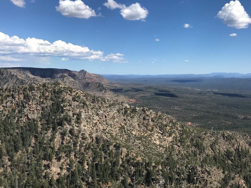
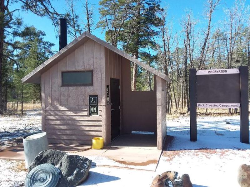
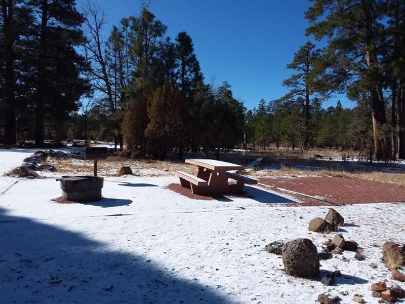
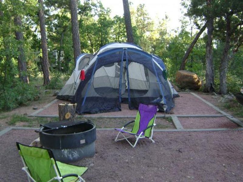
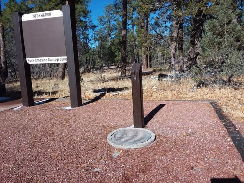
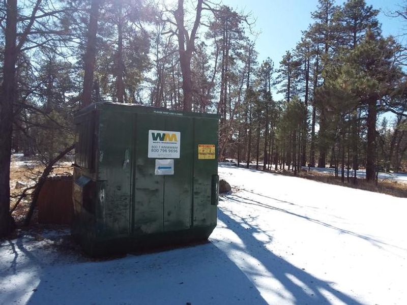
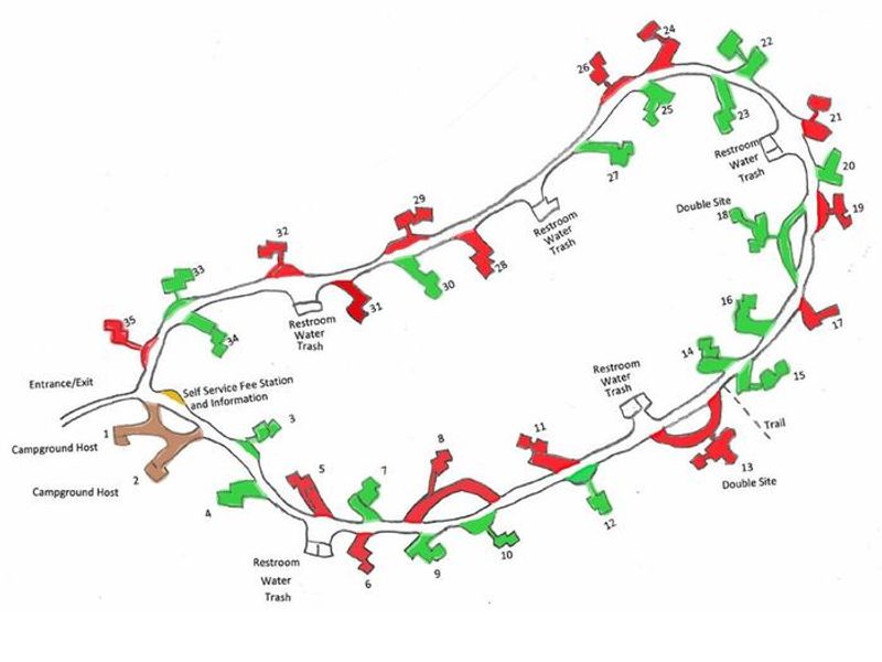
Rock Crossing Campground occupies a scenic forested setting surrounded by ponderosa pine and oak at an elevation of 7,316 feet on the Mogollon Rim in Coconino National Forest. The cool summer climate and proximity to C.C. Cragin (Blue Ridge) Reservoir make it a popular destination for anglers and outdoor enthusiasts. The reservoir is stocked annually with rainbow trout by Arizona Game & Fish, and brown trout are also present. The campground features 31 individual family sites and two double sites. Each site includes a picnic table, campfire ring, cooking grill, tent pad, and bear-resistant food storage locker. Vault toilets and potable drinking water are available, along with trash collection and campground hosts. There are no hookups, showers, or dump station. Recreational opportunities abound in the area. The Arizona National Scenic Trail, General Crook National Recreation Trail, and historic Cabin Loop Trail System provide options for hiking, mountain biking, and horseback riding. Wildlife including elk, mule deer, black bear, bald eagles, and osprey inhabit the surrounding forest. Tonto Natural Bridge State Park is approximately 45 minutes away.
Directions
From Flagstaff, drive 55 miles south on Forest Highway 3 (Lake Mary Road) to AZ 87 at Clints Well. Turn left onto AZ 87 and drive approximately 4.6 miles to FR 751 (turnoff for Blue Ridge / C.C. Cragin Reservoir). Turn right on FR 751 and drive approximately 2.5 miles to the campground. From Payson, drive approximately 42.5 miles north on AZ 87 toward Winslow to FR 751, then turn right and drive 2.5 miles to the campground.
Amenities
| Water | Yes |
| Fires Allowed | Yes |
| Toilets | Yes |
| Dump Station | No |
| Wifi | No |
| Pets Allowed | Yes |
| Showers | No |
| Electric Hookups | — |
| Water Hookups | — |
| Sewer Hookups | — |
| Camp Store | No |
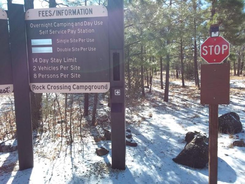
| Price | $20 |
Vehicle
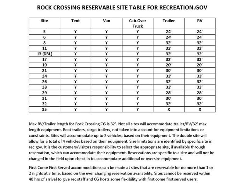
| Max RV Length | 35ft |
| Max Trailer Length | 35ft |
| Big Rig Friendly | No |
| Pull Through Sites | No |
Contact
| Phone | +1 (928) 477-2255 |
Cell Service
| AT&T | None |
| Verizon | Yes |
| T-Mobile | None |
Availability
Photos

Community Posts
No posts yet. Be the first to share your experience!