Rock Bluff Group Site
Open year-round. Reservations required through Recreation.gov. Gate is locked at all times. No potable water on site; bring your own. Fire danger is currently Very High; complete fire extinguishment required.
Border Barrier Construction Closure
Going into or being upon the Described Area.
John Long Canyon Road Closure Order
Prohibits the use of any motorized vehicle on the Described Road.
About
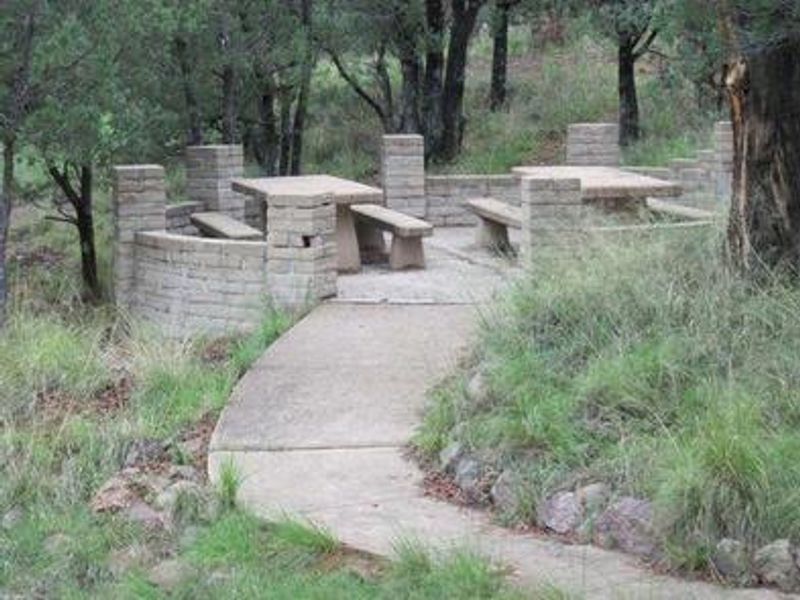
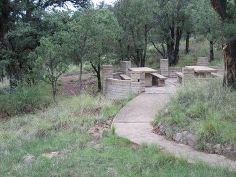
Rock Bluff Group Site offers group camping in a remote and scenic region of southeastern Arizona's Coronado National Forest. The campground sits at 5,400 feet elevation in a small, rocky canyon shaded by oaks and junipers, providing a comfortable desert mountain environment. Three distinct camping areas feature picnic tables and grills clustered on small walled patios, with a large communal fire ring located near the parking area for group gatherings. Parker Canyon Lake is just a quarter-mile walk away, offering an interpretive trail with benches positioned at prime wildlife viewing spots. The lake supports both cold and warm water fishing species including stocked rainbow trout, bass, sunfish, and catfish. Boating is permitted with motors of 10-horsepower or less. A lakeside recreation area with boat ramp, fishing pier, general store, and boat rentals is a short drive from the group site. The area is home to unique southwestern wildlife including coatimundi, javelina, and roadrunners. Bald eagles are regularly spotted during winter months, and osprey migrate through in fall. Campers should secure all food as bears are present in the area. There is no cell service at the site, and campers must bring their own drinking water and firewood.
Directions
From Tucson, drive east on I-10 to the Arizona Route 83 exit. Drive south to Sonoita, then continue on Route 83 for approximately 25 miles to Parker Canyon Lake. From Sierra Vista, travel through Fort Huachuca's west gate to State Route 83, turn south and travel 10 miles to Parker Canyon Lake.
Amenities
| Water | No |
| Fires Allowed | Yes |
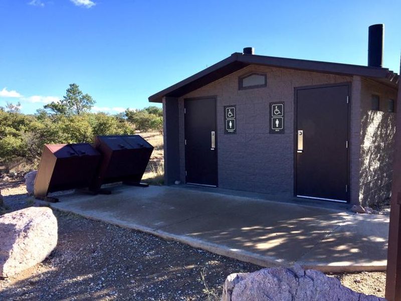
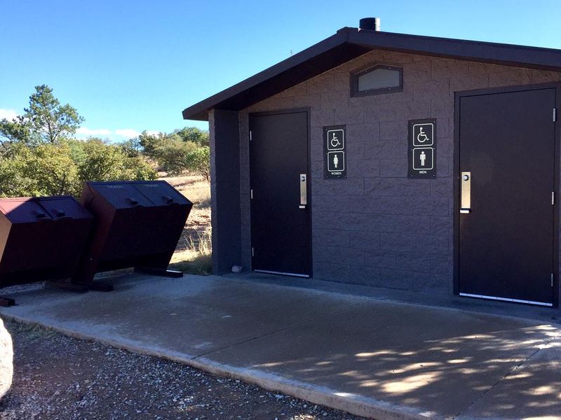
| Toilets | Yes |
| Dump Station | No |
| Wifi | No |
| Pets Allowed | Yes |
| Showers | No |
| Electric Hookups | — |
| Water Hookups | — |
| Sewer Hookups | — |
| Camp Store | No |
| Price | $45 |
Vehicle
| Max RV Length | — |
| Max Trailer Length | — |
| Big Rig Friendly | — |
| Pull Through Sites | No |
Contact
| Phone | +1 (520) 378-0311 |
Cell Service
| AT&T | None |
| Verizon | None |
| T-Mobile | None |
Availability
Photos
Community Posts
No posts yet. Be the first to share your experience!