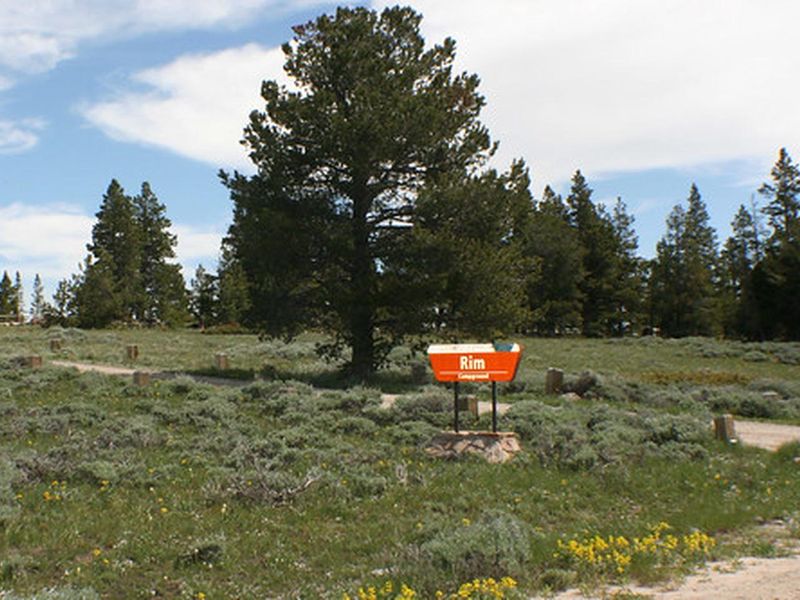
Rim Campground
Currently closed due to seasonal road closure. Muddy Mountain Road closed January 6, 2026 and typically reopens in late May or early June when conditions improve. Once open, camping is first-come, first-served with no reservations.
About
Located within the Muddy Mountain Environmental Education Area, Rim Campground provides a quiet, forested retreat overlooking the valley below. The 8 campsites are spread along a packed gravel loop road, each with a level tent pad, fire ring with grill attachment, and wheelchair-accessible picnic table. A few pull-through sites can handle large trailers and RVs seeking to escape the busier developed campgrounds in the region. The campground was designed with accessibility in mind. An ADA-compliant double vault toilet serves the area, and the ring road connecting the sites is accessible. Two trailheads provide access to over a mile of single-track hiking trails that are designated for hikers and assistive devices only, including a 2-mile accessible trail connecting to Lodgepole Campground where potable water is available. Camping is first-come, first-served at $7 per night with a 14-day stay limit. The access road typically closes from late November through early June due to winter weather, though snowmobile access remains available via designated state trails during the closure period.
Directions
From Casper, drive south on WY Highway 251 to the top of Casper Mountain, where the highway ends and becomes County Road 505. Continue approximately 3 miles until pavement ends, then another 2 miles to the intersection with Circle Drive. Continue straight on the BLM gravel road for 4.5 miles to Muddy Mountain Environmental Education Area. Upon entering, continue straight 0.25 miles to the campground on your left.
Amenities
| Water | No |
| Fires Allowed | Yes |
| Toilets | Yes |
| Dump Station | — |
| Wifi | No |
| Pets Allowed | — |
| Showers | No |
| Electric Hookups | — |
| Water Hookups | — |
| Sewer Hookups | — |
| Camp Store | No |
| Price | $7 |
Vehicle
| Max RV Length | — |
| Max Trailer Length | — |
| Big Rig Friendly | — |
| Pull Through Sites | Yes |
Contact
| casper_wymail@blm.gov | |
| Phone | +1 (307) 261-7600 |
Cell Service
| AT&T | Yes |
| Verizon | Yes |
| T-Mobile | None |
Photos
Community Posts
No posts yet. Be the first to share your experience!