Rexford Bench
Open for the 2026 season. Of 54 sites, 24 are reservable through Recreation.gov and 30 are first-come-first-served. Kamloops Terrace (20 sites) is also available. Note: The boat launch is currently closed. 16-day stay limit enforced.
Northern Region Camping & Target Restrictions, Pallet Prohibition
This order defines the maximum length of occupation at a single location or cumulatively at any number of locations within a calendar year, within the states of Montana, North Dakota, South Dakota, and Idaho
Weed Free Forage & Mulch Products Order for the Northern Region
It is illegal to possess, store or transport straw, hay, grain, seed or other forage or mulch products on Forest Service lands without documentation that the product is certified as “weed free” by a state certification process that meets or exceeds the North American Weed Free Forage standards.
R1-2023-02 - NCDE Food and Wildlife Attractant Storage Order
Northern Continental Divide Ecosystem Food/Wildlife Attractant Storage Order for the Flathead, Lolo, Kootenai, Helena-Lewis and Clark, and Beaverhead-Deerlodge National Forests within the Northern Continental Divide Ecosystem.
About
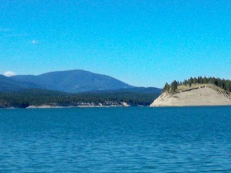
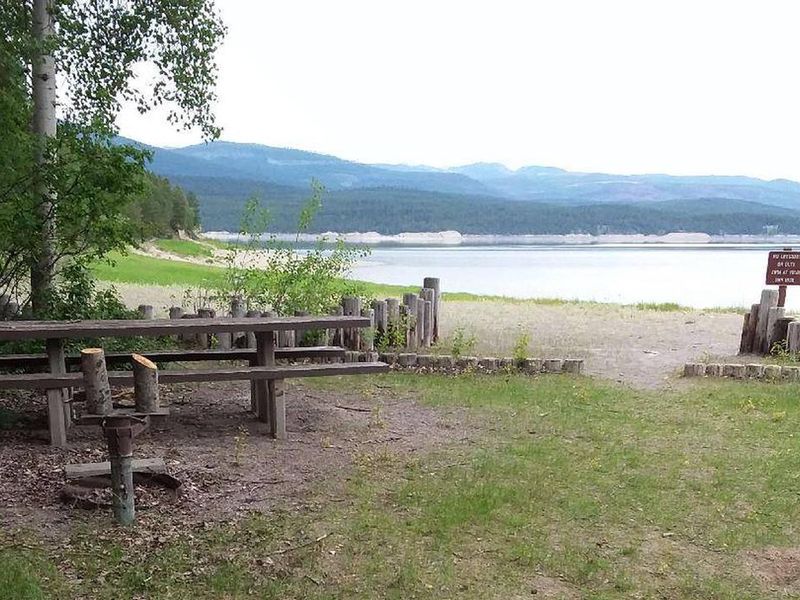
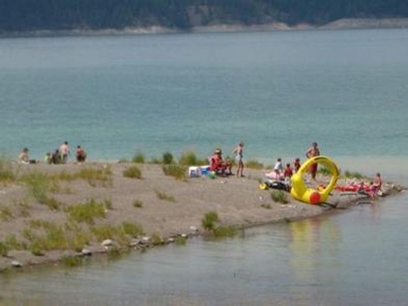
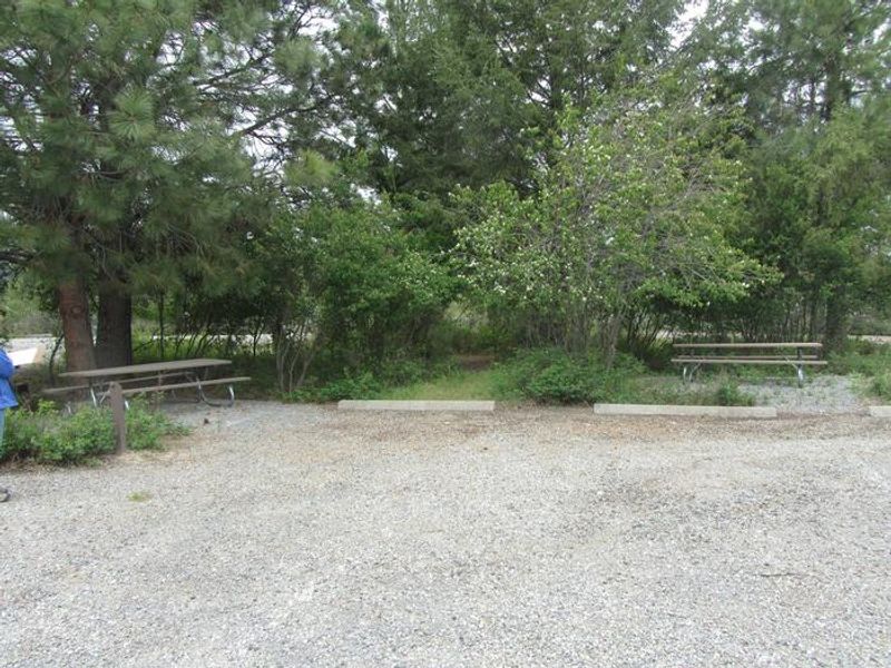
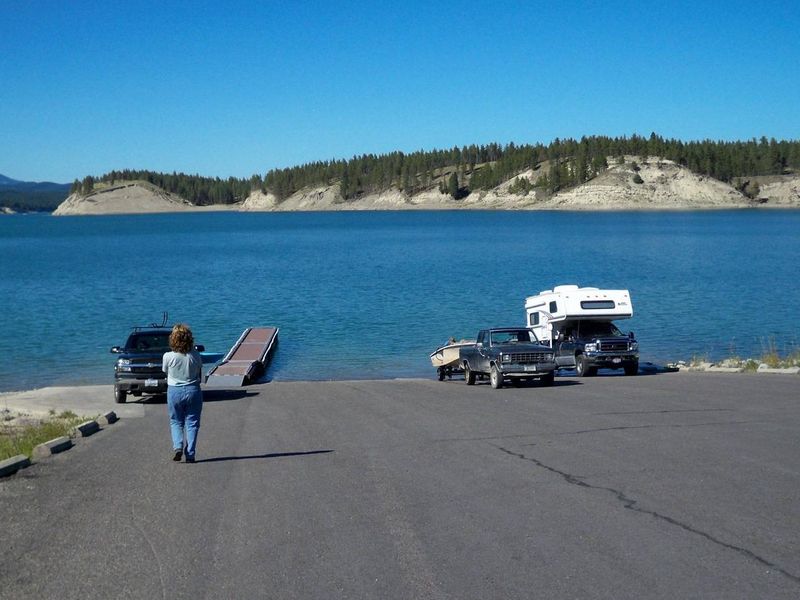
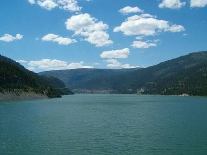
Rexford Bench Recreation Area sits at 2,470 feet elevation on the shores of Lake Koocanusa, a 46,500-acre reservoir formed by the 422-foot Libby Dam on the Kootenai River. The reservoir stretches 90 miles north into Canada with over 127 miles of shoreline. The campground occupies a scenic ponderosa pine forest and serves as a popular base for water recreation, with both high and low water boat ramps, a swimming beach, and day-use facilities. The campground features 54 sites across the main area, with an additional 20 sites at nearby Kamloops Terrace plus overflow parking. Sites are well-developed with paved spurs and roads, picnic tables, and fire rings with grills. Accessible flush toilets and potable water are available throughout, though no utility hookups exist. A dump station is available for an additional fee. Recreation options abound. Fishing derbies occur several times yearly targeting kokanee salmon, whitefish, rainbow, and cutthroat trout. An interpretive trail loops through the campground, while the Hoodoo Trail leads to striking sandstone formations jutting from a lake inlet. Osprey frequently fish near Libby Dam at sunset, and bald eagles hunt kokanee in the fall. The 100-mile scenic loop around the reservoir passes several waterfalls and trailheads.
Directions
From Eureka, travel north on Highway 93 for approximately 1 mile, then continue 6 miles on Highway 37.
Amenities
| Water | Yes |
| Fires Allowed | Yes |
| Toilets | Yes |
| Dump Station | Yes |
| Wifi | No |
| Pets Allowed | Yes |
| Showers | No |
| Electric Hookups | — |
| Water Hookups | — |
| Sewer Hookups | — |
| Camp Store | — |
| Price | $24 |
Vehicle
| Max RV Length | 60ft |
| Max Trailer Length | — |
| Big Rig Friendly | Yes |
| Pull Through Sites | No |
Contact
| Phone | +1 (406) 296-2536 |
Cell Service
| AT&T | Yes |
| Verizon | Yes |
| T-Mobile | Yes |
Availability
Photos
Community Posts
No posts yet. Be the first to share your experience!