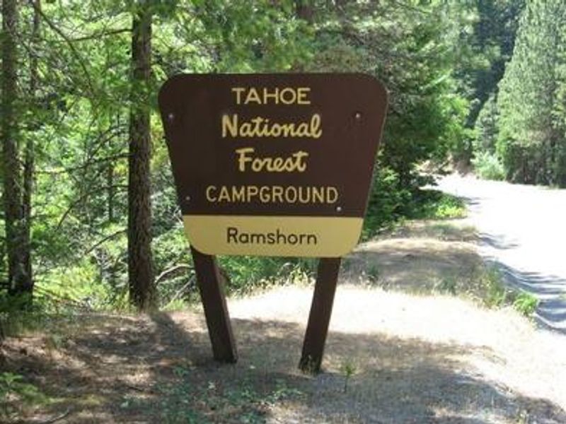
Ramshorn
Closed for the 2026 season. The campground typically operates from Memorial Day through mid-October when open. No reopening date has been announced.
National Forest System Roads
Follow California Vehicle Code on National Forest System Roads
Fireworks and Explosives are always Prohibited
Fireworks and explosives (including explosive targets) are always prohibited on national forest lands. The prohibition of fireworks and exploding targets on national forest system lands is part of a set of permanent fire safety regulations in the Code of Federal Regulations (CFR), listed below.…
Downieville Downhill Closure Order
Closure of identified forest roads and trails for Downieville Downhill.
About
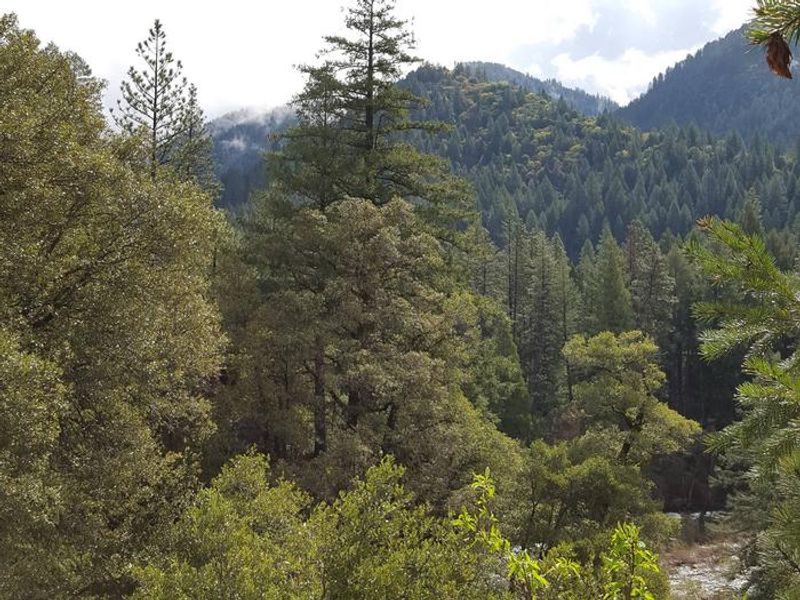
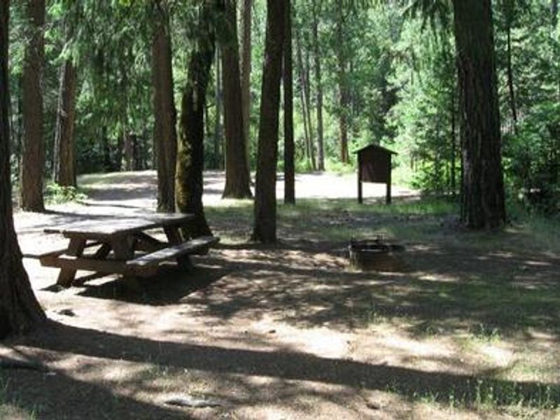
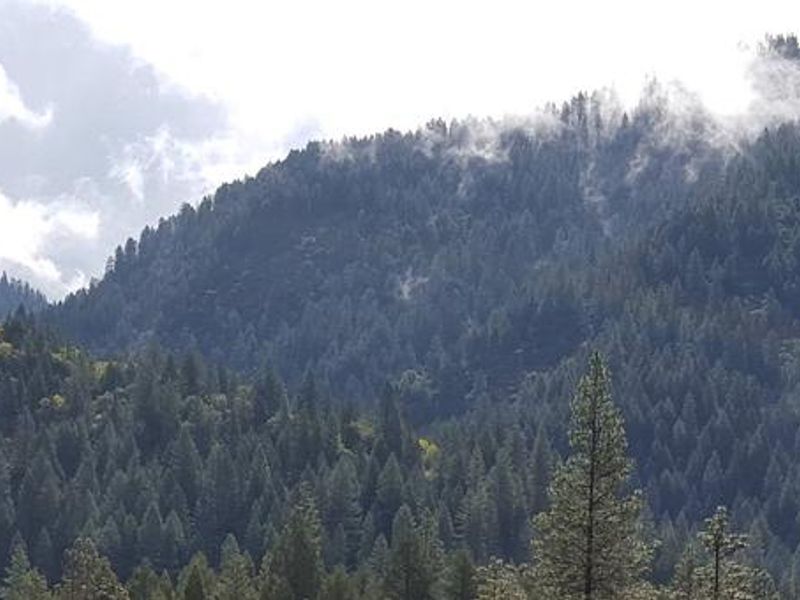
Ramshorn Campground sits on the steep slopes of the North Yuba River Valley between the Indian Valley Recreation Area and the historic mining town of Downieville. The campground's two loops are nestled among abundant blackberry bushes in a forest of incense cedar and fir, with shady oak trees scattered around the upper loop. Each of the 16 tent-only sites includes a picnic table and campfire ring. The North Yuba River offers excellent swimming, floating, and rainbow trout fishing. The river is a popular destination for seasonal rafting, kayaking, and tubing. A network of trails crisscrosses the surrounding area, including the 5.8-mile Halls Ranch Trail open to hiking, mountain biking, and motorized use. The Yuba River Trail can be accessed nearby at the Rocky Rest Trailhead. The campground is located along the Yuba Donner Scenic Byway (Highway 49) near many gold rush era historical sites and old mining towns such as Camptonville, Goodyears Bar, and Downieville. Bears frequent the area, and all food must be kept in approved bear-resistant containers.
Directions
From Camptonville, drive 15 miles northeast on Highway 49. The campground is on the North Yuba River. Alternatively, from Downieville, take Highway 49 south for about 5.5 miles; the campground is on the right side of the highway.
Amenities
| Water | No |
| Fires Allowed | Yes |
| Toilets | Yes |
| Dump Station | No |
| Wifi | No |
| Pets Allowed | — |
| Showers | No |
| Electric Hookups | — |
| Water Hookups | — |
| Sewer Hookups | — |
| Camp Store | No |
| Price | $20 |
Vehicle
| Max RV Length | — |
| Max Trailer Length | — |
| Big Rig Friendly | No |
| Pull Through Sites | No |
Contact
| Phone | +1 (530) 478-6253 |
Cell Service
| AT&T | None |
| Verizon | None |
| T-Mobile | None |
Availability
Photos
Community Posts
No posts yet. Be the first to share your experience!