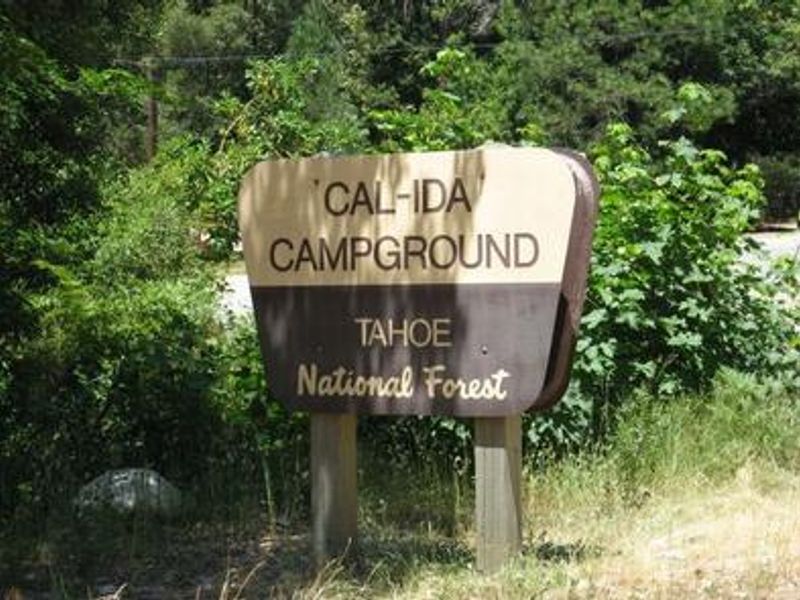
Cal-ida
Open for the 2026 season from April 17 through October 13. Nine sites are reservable via Recreation.gov; two sites are first-come, first-served. Water system availability may vary; confirm before arrival.
National Forest System Roads
Follow California Vehicle Code on National Forest System Roads
Fireworks and Explosives are always Prohibited
Fireworks and explosives (including explosive targets) are always prohibited on national forest lands. The prohibition of fireworks and exploding targets on national forest system lands is part of a set of permanent fire safety regulations in the Code of Federal Regulations (CFR), listed below.…
Downieville Downhill Closure Order
Closure of identified forest roads and trails for Downieville Downhill.
About
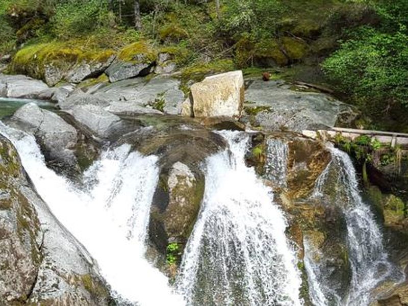
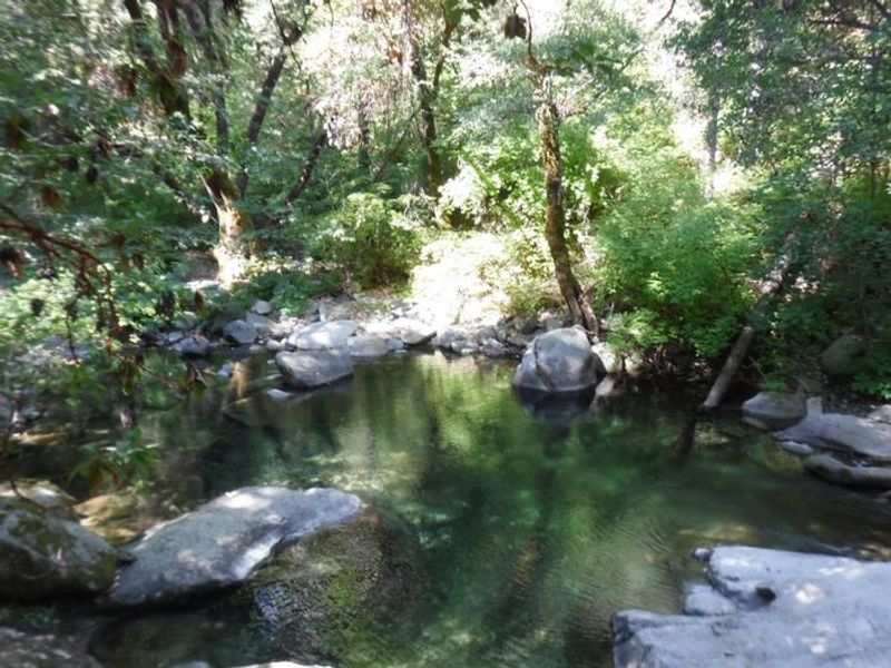
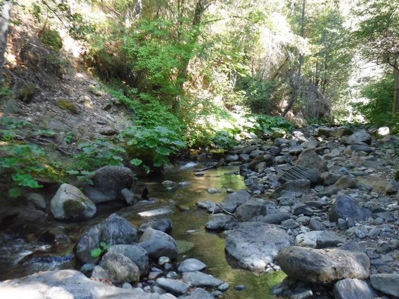
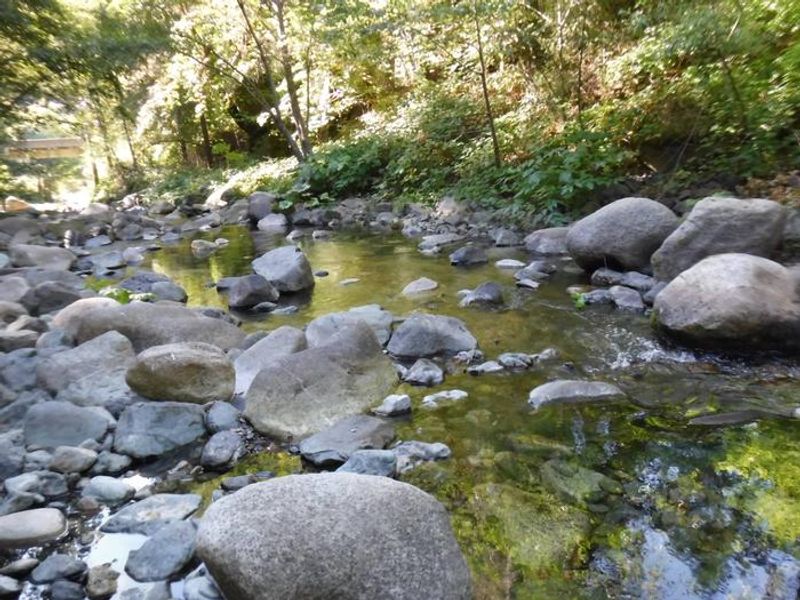
Cal-Ida Campground is located in Sierra County along Highway 49, approximately 13 miles south of Downieville in Tahoe National Forest. The campground sits across the highway from the North Yuba River, offering easy access to swimming, wading, rainbow trout fishing, and seasonal whitewater activities. Redesigned in 2023, the campground now operates as an OHV-oriented facility with a loading dock on-site. Sites are scattered among oak, maple, and locust trees that provide shade throughout the day. The nearby North Yuba Trail offers hiking and biking opportunities along the river corridor. The campground has 12 sites total: 9 are reservable through Recreation.gov, while 2 are first-come, first-served. Each site includes a fire ring and picnic table. Vault toilets are available, though water availability should be confirmed before arrival. Camping outside the designated campground boundaries is prohibited in this area.
Directions
From Downieville, travel south on Highway 49 for about 13 miles. The campground is on the right side of the highway. From Camptonville, drive 9 miles north on Highway 49.
Amenities
| Water | — |
| Fires Allowed | Yes |
| Toilets | Yes |
| Dump Station | No |
| Wifi | No |
| Pets Allowed | — |
| Showers | No |
| Electric Hookups | — |
| Water Hookups | — |
| Sewer Hookups | — |
| Camp Store | No |
| Price | $24 |
Vehicle
| Max RV Length | 30ft |
| Max Trailer Length | 28ft |
| Big Rig Friendly | No |
| Pull Through Sites | No |
Contact
| Phone | +1 (530) 265-4531 |
Cell Service
| AT&T | None |
| Verizon | None |
| T-Mobile | None |
Availability
Photos
Community Posts
No posts yet. Be the first to share your experience!