Purslane Run Hiker-biker Overnight Campsite
Open year-round with no fee or reservation required. Non-potable well water is available mid-April through mid-November; water is turned off during winter months. Campers should bring water treatment supplies or their own water supply.
About
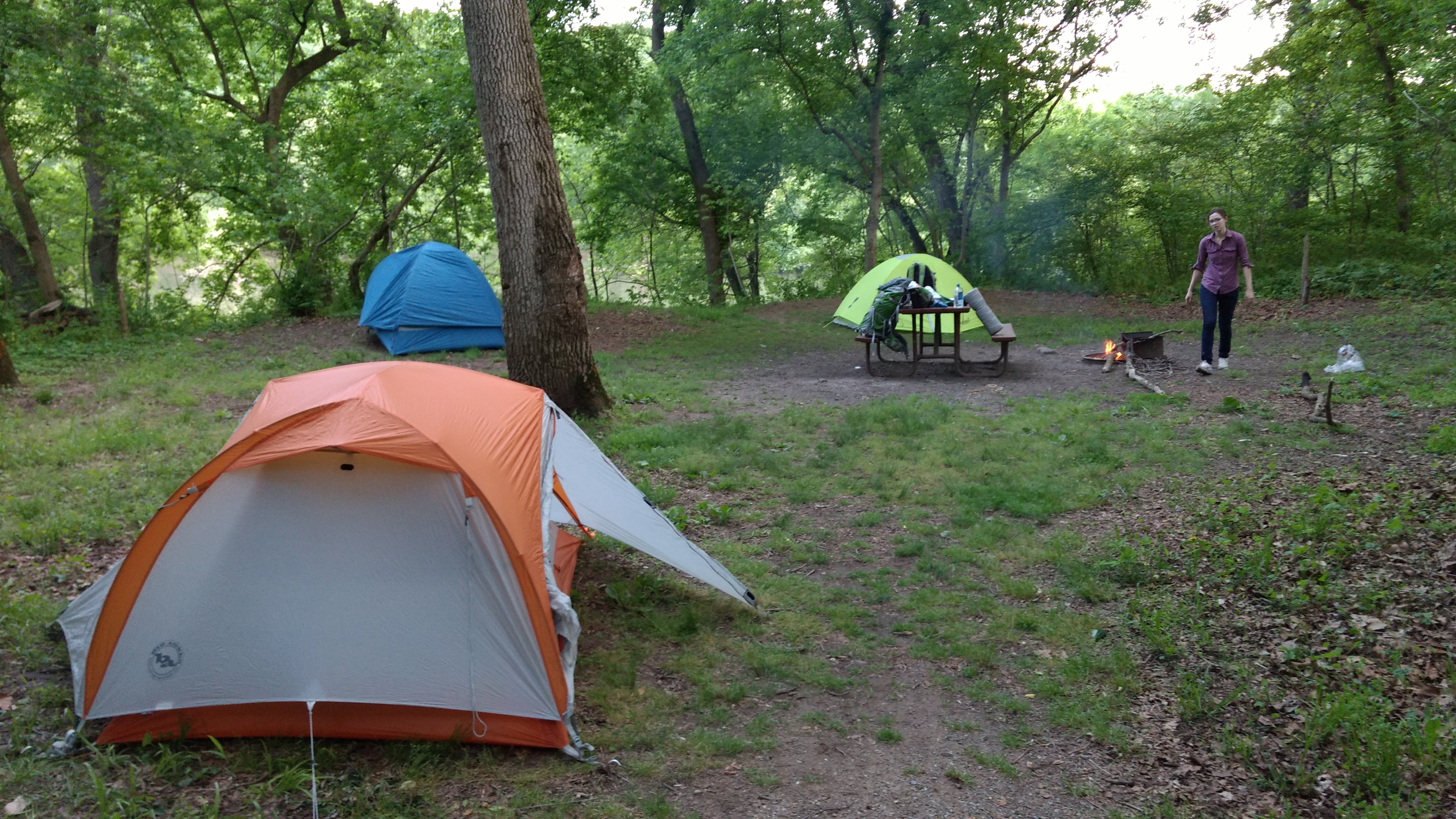
Purslane Run Hiker-Biker Campsite is a primitive camping area at mile 156.9 along the historic Chesapeake & Ohio Canal towpath in the Paw Paw section of the park. The site serves long-distance hikers and bikers traveling the 184.5-mile towpath between Washington, D.C. and Cumberland, Maryland. As with all hiker-biker sites along the canal, it operates on a first-come, first-served basis with no fee or reservation required. The campsite includes a chemical toilet, picnic table, and fire pit. Non-potable well water is available but must be filtered, chemically treated, or boiled before drinking or cooking. Water is turned off seasonally from mid-November to mid-April. Campers must pack out all trash and observe quiet hours from 10 PM to 6 PM. Overnight stays are limited to one night per site per trip, making this a waypoint for through-travelers rather than a base camp. The site accommodates five to ten tents depending on conditions. Pets are permitted but must remain leashed. Hammocks with straps at least one inch wide are allowed, but ropes tied to trees are prohibited.
Directions
Located at mile 156.9 along the C&O Canal Towpath near Oldtown, MD. Accessible via the towpath; no direct vehicle access.
Nearby Campgrounds
Amenities
| Water | No |
| Fires Allowed | Yes |
| Toilets | Yes |
| Dump Station | No |
| Wifi | No |
| Pets Allowed | Yes |
| Showers | No |
| Electric Hookups | — |
| Water Hookups | — |
| Sewer Hookups | — |
| Camp Store | No |
| Price | $0 |
Vehicle
| Max RV Length | — |
| Max Trailer Length | — |
| Big Rig Friendly | No |
| Pull Through Sites | No |
Contact
| choh_information@nps.gov | |
| Phone | +1 (301) 739-4200 |
Cell Service
| AT&T | None |
| Verizon | None |
| T-Mobile | Yes |
Photos
Community Posts
No posts yet. Be the first to share your experience!